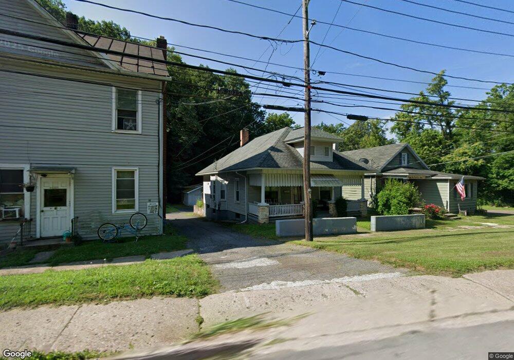
78 N Iron St Bloomsburg, PA 17815
Estimated Value: $154,831 - $185,000
--
Bed
--
Bath
988
Sq Ft
$172/Sq Ft
Est. Value
About This Home
This home is located at 78 N Iron St, Bloomsburg, PA 17815 and is currently estimated at $169,708, approximately $171 per square foot. 78 N Iron St is a home located in Columbia County with nearby schools including Memorial Elementary School, Bloomsburg Area Middle School, and Bloomsburg Area High School.
Ownership History
Date
Name
Owned For
Owner Type
Purchase Details
Closed on
Sep 3, 2020
Sold by
Miknich Sharon J
Bought by
Hanaway Michael A
Current Estimated Value
Home Financials for this Owner
Home Financials are based on the most recent Mortgage that was taken out on this home.
Original Mortgage
$123,717
Outstanding Balance
$109,791
Interest Rate
2.9%
Mortgage Type
FHA
Estimated Equity
$59,917
Purchase Details
Closed on
Jul 1, 1988
Bought by
Miknich Allen C and Miknich Sharon J
Create a Home Valuation Report for This Property
The Home Valuation Report is an in-depth analysis detailing your home's value as well as a comparison with similar homes in the area
Home Values in the Area
Average Home Value in this Area
Purchase History
| Date | Buyer | Sale Price | Title Company |
|---|---|---|---|
| Hanaway Michael A | $126,000 | Faxon Settlement Svcs Llc | |
| Miknich Allen C | $28,000 | -- |
Source: Public Records
Mortgage History
| Date | Status | Borrower | Loan Amount |
|---|---|---|---|
| Open | Hanaway Michael A | $123,717 |
Source: Public Records
Tax History Compared to Growth
Tax History
| Year | Tax Paid | Tax Assessment Tax Assessment Total Assessment is a certain percentage of the fair market value that is determined by local assessors to be the total taxable value of land and additions on the property. | Land | Improvement |
|---|---|---|---|---|
| 2025 | $1,737 | $19,255 | $0 | $0 |
| 2024 | $1,708 | $19,255 | $3,863 | $15,392 |
| 2023 | $1,583 | $19,255 | $3,863 | $15,392 |
| 2022 | $1,525 | $19,255 | $3,863 | $15,392 |
| 2021 | $1,493 | $19,255 | $3,863 | $15,392 |
| 2020 | $1,431 | $19,255 | $3,863 | $15,392 |
| 2019 | $2,299 | $17,853 | $3,863 | $13,990 |
| 2018 | $1,275 | $17,853 | $3,863 | $13,990 |
| 2017 | $1,210 | $17,853 | $3,863 | $13,990 |
| 2016 | -- | $17,853 | $3,863 | $13,990 |
| 2015 | -- | $17,853 | $3,863 | $13,990 |
| 2014 | -- | $17,853 | $3,863 | $13,990 |
Source: Public Records
Map
Nearby Homes
- 24 Millville Rd
- 123 William St
- 115 West St
- Sweet Birch Plan at Oak Lane
- Black Cherry Plan at Oak Lane
- Blue Ridge Plan at Oak Lane
- Beacon Pointe Plan at Oak Lane
- White Oak Plan at Oak Lane
- 375377 Fetterman Ave
- 179181 Railroad St
- 61 E 3rd St
- 225 W 3rd St
- 261 West St
- 402 Millville Rd
- 421 W Main St
- 315 E 3rd St
- 405 W 3rd St
- 37 E 5th St
- 518 W Main St
- 413 East St