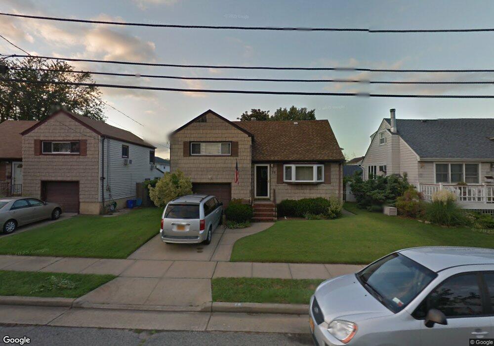
78 Norton St Freeport, NY 11520
Estimated Value: $575,000 - $638,221
3
Beds
2
Baths
1,273
Sq Ft
$477/Sq Ft
Est. Value
About This Home
This home is located at 78 Norton St, Freeport, NY 11520 and is currently estimated at $606,611, approximately $476 per square foot. 78 Norton St is a home located in Nassau County with nearby schools including Columbus Avenue School, Caroline G. Atkinson Intermediate School, and John W Dodd Middle School.
Ownership History
Date
Name
Owned For
Owner Type
Purchase Details
Closed on
Sep 24, 2020
Sold by
Boyd Lisa A and Andrino Donna
Bought by
Cruz Walter A and Chaparro Yezenia
Current Estimated Value
Home Financials for this Owner
Home Financials are based on the most recent Mortgage that was taken out on this home.
Original Mortgage
$432,030
Interest Rate
2.9%
Mortgage Type
FHA
Purchase Details
Closed on
Oct 17, 2016
Sold by
Andrino Thomas and Andrino Norma
Bought by
Boyd Lisa A and Andrino Donna
Create a Home Valuation Report for This Property
The Home Valuation Report is an in-depth analysis detailing your home's value as well as a comparison with similar homes in the area
Home Values in the Area
Average Home Value in this Area
Purchase History
| Date | Buyer | Sale Price | Title Company |
|---|---|---|---|
| Cruz Walter A | $440,000 | Westcor Land Title | |
| Boyd Lisa A | -- | None Available |
Source: Public Records
Mortgage History
| Date | Status | Borrower | Loan Amount |
|---|---|---|---|
| Previous Owner | Cruz Walter A | $432,030 |
Source: Public Records
Tax History Compared to Growth
Tax History
| Year | Tax Paid | Tax Assessment Tax Assessment Total Assessment is a certain percentage of the fair market value that is determined by local assessors to be the total taxable value of land and additions on the property. | Land | Improvement |
|---|---|---|---|---|
| 2025 | $8,668 | $402 | $146 | $256 |
| 2024 | $880 | $414 | $150 | $264 |
| 2023 | $7,630 | $396 | $143 | $253 |
| 2022 | $7,630 | $414 | $150 | $264 |
| 2021 | $12,208 | $393 | $144 | $249 |
| 2020 | $2,894 | $371 | $329 | $42 |
| 2019 | $467 | $371 | $312 | $59 |
| 2018 | $3,129 | $371 | $0 | $0 |
| 2017 | $1,828 | $391 | $271 | $120 |
| 2016 | $2,342 | $475 | $297 | $178 |
| 2015 | $528 | $501 | $313 | $188 |
| 2014 | $528 | $501 | $313 | $188 |
| 2013 | $521 | $527 | $329 | $198 |
Source: Public Records
Map
Nearby Homes
- 43 Layton St
- 11 Overton St
- 54 Robert St
- 644 Guy Lombardo Ave
- 43 Ocean Watch Ct
- 54 Ocean Watch Ct Unit 54
- 18 Ocean Watch Ct Unit 18
- 17 Ocean Watch Ct Unit 17
- 16 Ocean Watch Ct Unit 16
- 335 Arthur St
- 121a Garfield St
- 766 Guy Lombardo Ave
- 13 Ocean Watch Ct
- 12 Ocean Watch Ct
- 356 Arthur St
- 11 Ocean Watch Ct
- 74 Tyler St
- 68 Tyler St
- 10 Ocean Watch Ct
- 243 Sportsmans Ave