78 Oak St Dennis Port, MA 02639
Dennis Port NeighborhoodEstimated Value: $525,000 - $1,317,000
3
Beds
1
Bath
977
Sq Ft
$1,042/Sq Ft
Est. Value
About This Home
This home is located at 78 Oak St, Dennis Port, MA 02639 and is currently estimated at $1,017,707, approximately $1,041 per square foot. 78 Oak St is a home located in Barnstable County with nearby schools including Dennis-Yarmouth Regional High School and St. Pius X. School.
Ownership History
Date
Name
Owned For
Owner Type
Purchase Details
Closed on
Mar 13, 2019
Sold by
Ippolito Stephen F and Ippolito Mary V
Bought by
Mary V Ippolito Ret
Current Estimated Value
Purchase Details
Closed on
Jul 14, 2008
Sold by
Clement Kevin M
Bought by
Ippolito Mary and Ippolito Stephen F
Home Financials for this Owner
Home Financials are based on the most recent Mortgage that was taken out on this home.
Original Mortgage
$572,000
Interest Rate
6.13%
Mortgage Type
Purchase Money Mortgage
Create a Home Valuation Report for This Property
The Home Valuation Report is an in-depth analysis detailing your home's value as well as a comparison with similar homes in the area
Home Values in the Area
Average Home Value in this Area
Purchase History
| Date | Buyer | Sale Price | Title Company |
|---|---|---|---|
| Mary V Ippolito Ret | -- | -- | |
| Ippolito Mary | $715,000 | -- |
Source: Public Records
Mortgage History
| Date | Status | Borrower | Loan Amount |
|---|---|---|---|
| Previous Owner | Ippolito Mary | $572,000 |
Source: Public Records
Tax History Compared to Growth
Tax History
| Year | Tax Paid | Tax Assessment Tax Assessment Total Assessment is a certain percentage of the fair market value that is determined by local assessors to be the total taxable value of land and additions on the property. | Land | Improvement |
|---|---|---|---|---|
| 2025 | $4,405 | $1,017,300 | $610,900 | $406,400 |
| 2024 | $4,368 | $994,900 | $587,500 | $407,400 |
| 2023 | $4,224 | $904,400 | $534,100 | $370,300 |
| 2022 | $4,173 | $745,100 | $481,100 | $264,000 |
| 2021 | $4,201 | $696,700 | $471,600 | $225,100 |
| 2020 | $3,976 | $651,800 | $450,700 | $201,100 |
| 2019 | $3,996 | $647,600 | $441,900 | $205,700 |
| 2018 | $3,777 | $595,800 | $420,600 | $175,200 |
| 2017 | $3,664 | $595,800 | $420,600 | $175,200 |
| 2016 | $4,167 | $638,100 | $494,000 | $144,100 |
| 2015 | $4,084 | $638,100 | $494,000 | $144,100 |
| 2014 | $3,787 | $596,300 | $494,000 | $102,300 |
Source: Public Records
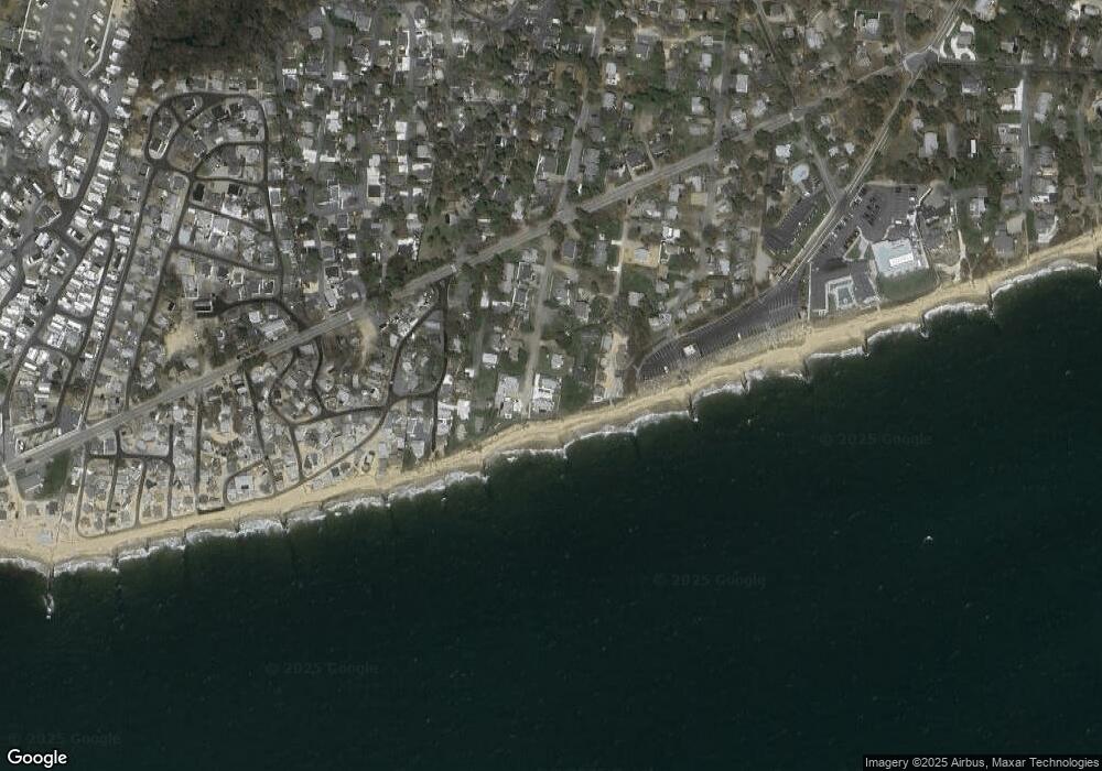
Map
Nearby Homes
- 262 Old Wharf Rd Unit 67
- 262 Old Wharf Rd Unit 5
- 262 Old Wharf Rd Unit 5
- 262 Old Wharf Rd Unit 20
- 262 Old Wharf Rd Unit 87
- 241 Old Wharf Rd Unit 82
- 241 Old Wharf Rd Unit 127
- 241 Old Wharf Rd Unit 90
- 37 Beach Hills Rd
- 37-A Beach Hills Rd
- 217 Old Wharf Rd Unit 64
- 22 Ferncliff Rd
- 154 Old Wharf Rd Unit 26
- 154 Old Wharf Rd Unit 14
- 102 Sea St
- 402 Old Wharf Rd
- 402 Old Wharf Rd
- 405 Old Wharf Rd Unit B204
- 405 Old Wharf Rd Unit B204
- 120 Old Wharf Rd Unit 11
- 78 Oak St Extension
- 80 Oak St Extension
- 80 Oak St
- 80 Oak Ext St
- 74 Oak St
- 74 Oak St Extension
- 85 Oak St Extension
- 89 Oak St
- 89 Oak Extension St
- 89 Oak St Extension
- 70 Oak St
- 70 Oak St Extension
- 91 N Oak St Ext St
- 91 Oak St Extension
- 91 Oak St
- 85 Oak St
- 2 Beach Hills Rd Unit 8
- 2 Beach St Unit 7
- 2 Beach St Unit 6
- 2 Beach St Unit 5