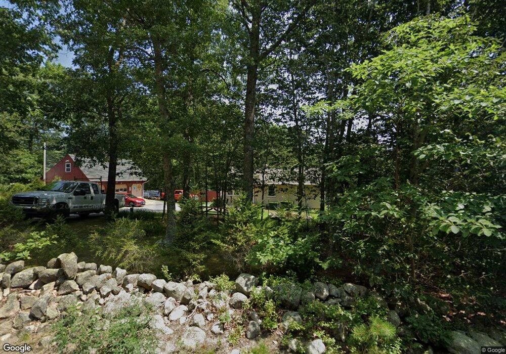
78 Old Cranston Rd Sterling, CT 06377
Estimated Value: $309,548 - $362,000
3
Beds
1
Bath
960
Sq Ft
$351/Sq Ft
Est. Value
About This Home
This home is located at 78 Old Cranston Rd, Sterling, CT 06377 and is currently estimated at $336,637, approximately $350 per square foot. 78 Old Cranston Rd is a home located in Windham County with nearby schools including Sterling Community School.
Ownership History
Date
Name
Owned For
Owner Type
Purchase Details
Closed on
Apr 30, 2012
Sold by
Maerkle George A and Maerkle Irene
Bought by
Maerkle George A and Maerkle Irene
Current Estimated Value
Purchase Details
Closed on
Sep 10, 1997
Sold by
Taylor David E and Taylor Carol A
Bought by
Maerkle George A
Create a Home Valuation Report for This Property
The Home Valuation Report is an in-depth analysis detailing your home's value as well as a comparison with similar homes in the area
Home Values in the Area
Average Home Value in this Area
Purchase History
| Date | Buyer | Sale Price | Title Company |
|---|---|---|---|
| Maerkle George A | -- | -- | |
| Maerkle George A | -- | -- | |
| Maerkle George A | $125,000 | -- | |
| Maerkle George A | $125,000 | -- |
Source: Public Records
Mortgage History
| Date | Status | Borrower | Loan Amount |
|---|---|---|---|
| Previous Owner | Maerkle George A | $20,000 | |
| Previous Owner | Maerkle George A | $147,500 | |
| Previous Owner | Maerkle George A | $117,339 |
Source: Public Records
Tax History Compared to Growth
Tax History
| Year | Tax Paid | Tax Assessment Tax Assessment Total Assessment is a certain percentage of the fair market value that is determined by local assessors to be the total taxable value of land and additions on the property. | Land | Improvement |
|---|---|---|---|---|
| 2025 | $4,011 | $182,300 | $42,100 | $140,200 |
| 2024 | $4,311 | $182,300 | $42,100 | $140,200 |
| 2023 | $4,051 | $182,300 | $42,100 | $140,200 |
| 2022 | $3,615 | $113,180 | $21,380 | $91,800 |
| 2021 | $3,615 | $113,180 | $21,380 | $91,800 |
| 2020 | $3,615 | $113,180 | $21,380 | $91,800 |
| 2019 | $3,615 | $113,180 | $21,380 | $91,800 |
| 2018 | $3,599 | $113,180 | $21,380 | $91,800 |
| 2017 | $3,559 | $111,920 | $28,030 | $83,890 |
| 2016 | $3,537 | $111,920 | $28,030 | $83,890 |
| 2015 | $3,537 | $111,920 | $28,030 | $83,890 |
| 2014 | $3,525 | $111,920 | $28,030 | $83,890 |
Source: Public Records
Map
Nearby Homes
- 581 Sterling Rd
- 1 Johns Cir
- 5 John's Cir Unit Lot 35
- 1 John's Cir Unit Lot 37
- 8 John's Cir Unit Lot 33
- 4 Johns Cir Unit Lot 31
- 7 Johns Cir Unit Lot 34
- 38 Deerfield Dr
- 35 River Rd
- 197 Church St
- 126 Pine Hill Rd
- 24 River Rd
- 18 Ledge Hill Rd
- 367 Pine Hill Rd
- 58 New Rd
- 532 Lewis Farm Rd
- 0 Rice City Rd
- 10 Ralph St
- 93 Moosup Valley Rd
- 92 Lake St
- 70 Old Cranston Rd
- 84 Old Cranston Rd
- 92 Old Cranston Rd
- 90 Old Cranston Rd
- 77 Old Cranston Rd
- 58 Old Cranston Rd
- 73 Old Cranston Rd
- 95 Old Cranston Rd
- 61 Old Cranston Rd
- 110 Old Cranston Rd
- 53 Old Cranston Rd
- 50 Old Cranston Rd
- 81 Old Cranston Rd
- 87 Old Cranston Rd
- 794 Sterling Rd
- 42 Old Cranston Rd
- 41 Old Cranston Rd
- 792 Sterling Rd
- 34 Old Cranston Rd
- 31 Old Cranston Rd