Estimated Value: $110,786 - $159,000
--
Bed
1
Bath
1,211
Sq Ft
$116/Sq Ft
Est. Value
About This Home
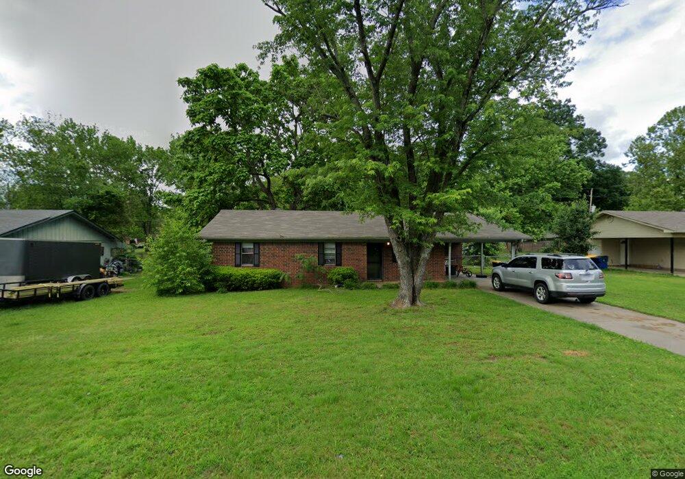
This home is located at 78 Pear St, Cabot, AR 72023 and is currently estimated at $139,947, approximately $115 per square foot. 78 Pear St is a home located in Lonoke County with nearby schools including Central Elementary School, Cabot Junior High South, and Cabot Middle School South.
Ownership History
Date
Name
Owned For
Owner Type
Purchase Details
Closed on
Apr 1, 2020
Sold by
Barker Stephen and Barker Gale M
Bought by
Shurley Properties Llc
Current Estimated Value
Purchase Details
Closed on
Jul 29, 2002
Bought by
Barker and Barker Wf
Purchase Details
Closed on
Sep 11, 1992
Bought by
Brannon and Wife Cynthia
Purchase Details
Closed on
May 27, 1988
Bought by
Moore
Purchase Details
Closed on
Jan 12, 1988
Bought by
Hud
Purchase Details
Closed on
Sep 30, 1987
Bought by
Financial Serv
Purchase Details
Closed on
Jul 28, 1982
Bought by
Bolinger
Purchase Details
Closed on
Apr 1, 1982
Bought by
Odom
Create a Home Valuation Report for This Property
The Home Valuation Report is an in-depth analysis detailing your home's value as well as a comparison with similar homes in the area
Home Values in the Area
Average Home Value in this Area
Purchase History
| Date | Buyer | Sale Price | Title Company |
|---|---|---|---|
| Shurley Properties Llc | $70,000 | Beach Abstract & Guaranty Co | |
| Barker | $45,000 | -- | |
| Barker | $45,000 | -- | |
| Brannon | $45,000 | -- | |
| Moore | -- | -- | |
| Hud | -- | -- | |
| Financial Serv | -- | -- | |
| Bolinger | $41,000 | -- | |
| Odom | $7,000 | -- |
Source: Public Records
Tax History Compared to Growth
Tax History
| Year | Tax Paid | Tax Assessment Tax Assessment Total Assessment is a certain percentage of the fair market value that is determined by local assessors to be the total taxable value of land and additions on the property. | Land | Improvement |
|---|---|---|---|---|
| 2025 | $766 | $15,050 | $2,000 | $13,050 |
| 2024 | $766 | $15,050 | $2,000 | $13,050 |
| 2023 | $766 | $15,050 | $2,000 | $13,050 |
| 2022 | $766 | $15,050 | $2,000 | $13,050 |
| 2021 | $766 | $15,050 | $2,000 | $13,050 |
| 2020 | $718 | $14,110 | $2,000 | $12,110 |
| 2019 | $718 | $14,110 | $2,000 | $12,110 |
| 2018 | $697 | $14,110 | $2,000 | $12,110 |
| 2017 | $648 | $14,110 | $2,000 | $12,110 |
| 2016 | $697 | $14,110 | $2,000 | $12,110 |
| 2015 | $708 | $14,340 | $2,000 | $12,340 |
| 2014 | $708 | $14,340 | $2,000 | $12,340 |
Source: Public Records
Map
Nearby Homes
- 65 Oak Meadows Dr
- 69 Sycamore Cir
- 34 Bent Tree Dr
- 30 Meadowlark Dr
- 40 Bent Tree Dr
- 00 Kerr Station Rd
- 511 S Grant St
- 23 Robinson St
- 509 E Myrtle St
- 23 Alexis Dr
- 18 Sycamore St
- 00 Plaza Blvd
- 30 Pheasant Run Dr
- 34 Saint John St
- 12 Bellaire Dr
- 308 N Madison St
- 97 S Pine St
- 64 Saint John St
- Lot 5&6 N Adams St
- Lots 5 & 6 N Adams St