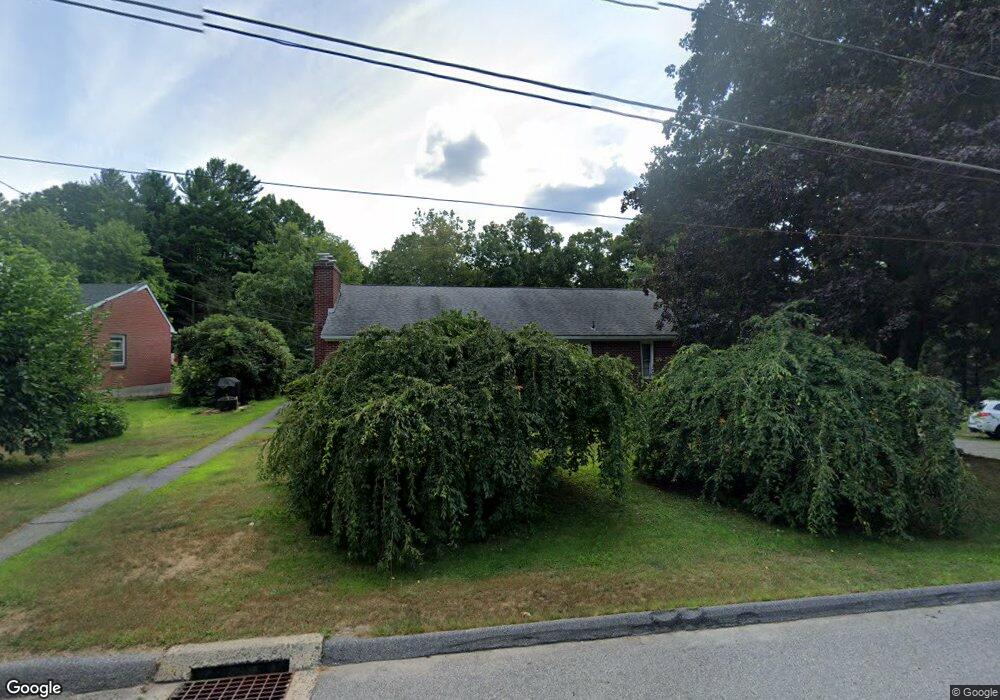
78 Pershing St Torrington, CT 06790
Estimated Value: $280,000 - $324,000
2
Beds
2
Baths
1,363
Sq Ft
$225/Sq Ft
Est. Value
About This Home
This home is located at 78 Pershing St, Torrington, CT 06790 and is currently estimated at $307,228, approximately $225 per square foot. 78 Pershing St is a home located in Litchfield County with nearby schools including Torrington Middle School, Torrington High School, and St. Peter School.
Ownership History
Date
Name
Owned For
Owner Type
Purchase Details
Closed on
Oct 30, 1997
Sold by
Zucco Beatrice J
Bought by
Zucco Pennie A and Morrison Gregg
Current Estimated Value
Home Financials for this Owner
Home Financials are based on the most recent Mortgage that was taken out on this home.
Original Mortgage
$95,000
Interest Rate
7.31%
Mortgage Type
Unknown
Create a Home Valuation Report for This Property
The Home Valuation Report is an in-depth analysis detailing your home's value as well as a comparison with similar homes in the area
Home Values in the Area
Average Home Value in this Area
Purchase History
| Date | Buyer | Sale Price | Title Company |
|---|---|---|---|
| Zucco Pennie A | $100,000 | -- |
Source: Public Records
Mortgage History
| Date | Status | Borrower | Loan Amount |
|---|---|---|---|
| Open | Zucco Pennie A | $108,000 | |
| Closed | Zucco Pennie A | $95,000 |
Source: Public Records
Tax History
| Year | Tax Paid | Tax Assessment Tax Assessment Total Assessment is a certain percentage of the fair market value that is determined by local assessors to be the total taxable value of land and additions on the property. | Land | Improvement |
|---|---|---|---|---|
| 2025 | $7,232 | $188,090 | $33,390 | $154,700 |
| 2024 | $5,068 | $105,650 | $33,420 | $72,230 |
| 2023 | $5,067 | $105,650 | $33,420 | $72,230 |
| 2022 | $4,980 | $105,650 | $33,420 | $72,230 |
| 2021 | $4,878 | $105,650 | $33,420 | $72,230 |
| 2020 | $4,878 | $105,650 | $33,420 | $72,230 |
| 2019 | $4,661 | $100,950 | $37,100 | $63,850 |
| 2018 | $4,661 | $100,950 | $37,100 | $63,850 |
| 2017 | $4,618 | $100,950 | $37,100 | $63,850 |
| 2016 | $4,618 | $100,950 | $37,100 | $63,850 |
| 2015 | $4,618 | $100,950 | $37,100 | $63,850 |
| 2014 | $4,830 | $132,990 | $55,510 | $77,480 |
Source: Public Records
Map
Nearby Homes
- 83 Birge St
- 340 Hillside Ave
- 238 Barton St
- 165 Birchwood Dr
- 23 Hannah Way
- 125 Birchwood Dr
- 19 Harwinton Ave
- 336 Oak Ave
- 323 Highfield Dr
- 146 Highfield Dr
- 272 Edgewood Dr
- 48 Maud St
- 364 Park Ave
- 390 Park Ave
- 195 Torrington Heights Rd
- 291 E Main St
- 35 School St
- 0 Torringford St W
- 68 Wilson Ave Unit 105
- 279 E Elm St
Your Personal Tour Guide
Ask me questions while you tour the home.