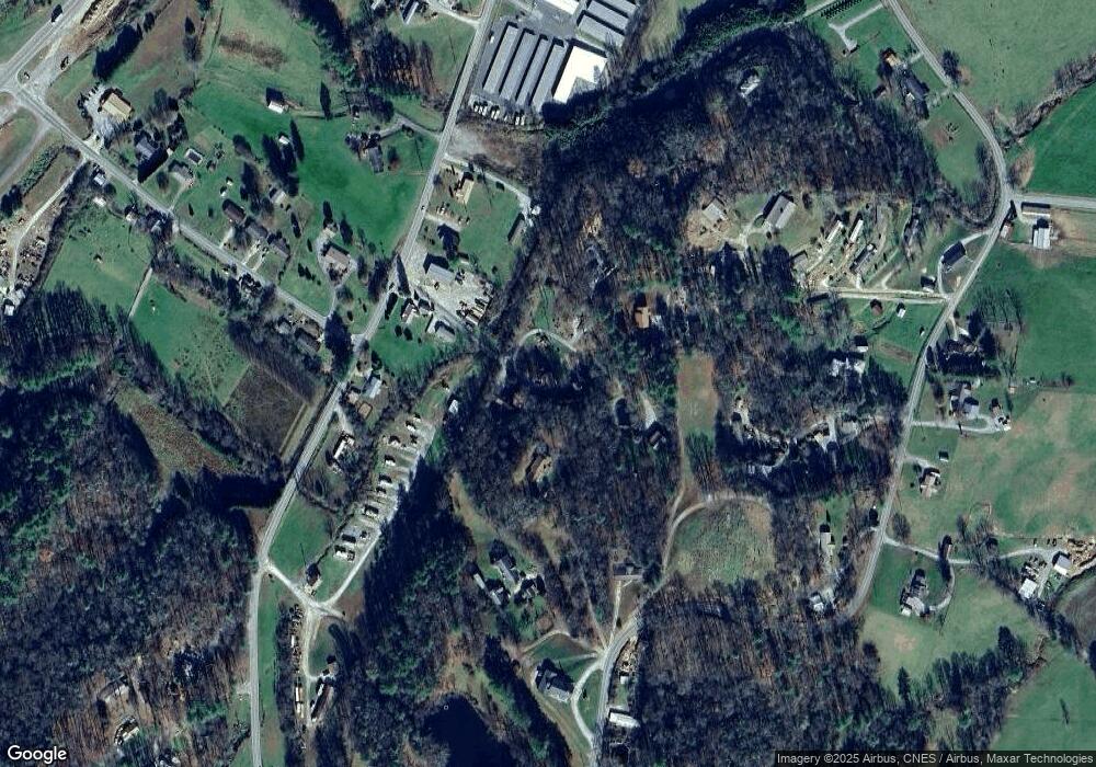
78 Peter Weaver Creek Rd Brevard, NC 28712
Estimated Value: $334,866 - $393,000
3
Beds
2
Baths
868
Sq Ft
$425/Sq Ft
Est. Value
About This Home
This home is located at 78 Peter Weaver Creek Rd, Brevard, NC 28712 and is currently estimated at $368,967, approximately $425 per square foot. 78 Peter Weaver Creek Rd is a home located in Transylvania County.
Ownership History
Date
Name
Owned For
Owner Type
Purchase Details
Closed on
Apr 23, 2018
Sold by
Smith Patricia S
Bought by
Rice Jonathan C and Rice Christy Smith
Current Estimated Value
Home Financials for this Owner
Home Financials are based on the most recent Mortgage that was taken out on this home.
Original Mortgage
$132,000
Outstanding Balance
$113,570
Interest Rate
4.46%
Mortgage Type
New Conventional
Estimated Equity
$255,397
Create a Home Valuation Report for This Property
The Home Valuation Report is an in-depth analysis detailing your home's value as well as a comparison with similar homes in the area
Home Values in the Area
Average Home Value in this Area
Purchase History
| Date | Buyer | Sale Price | Title Company |
|---|---|---|---|
| Rice Jonathan C | $165,000 | None Available |
Source: Public Records
Mortgage History
| Date | Status | Borrower | Loan Amount |
|---|---|---|---|
| Open | Rice Jonathan C | $132,000 |
Source: Public Records
Tax History Compared to Growth
Tax History
| Year | Tax Paid | Tax Assessment Tax Assessment Total Assessment is a certain percentage of the fair market value that is determined by local assessors to be the total taxable value of land and additions on the property. | Land | Improvement |
|---|---|---|---|---|
| 2025 | $1,521 | $316,600 | $39,000 | $277,600 |
| 2024 | $1,068 | $162,250 | $39,000 | $123,250 |
| 2023 | $1,068 | $162,250 | $39,000 | $123,250 |
| 2022 | $1,068 | $162,250 | $39,000 | $123,250 |
| 2021 | $1,060 | $162,250 | $39,000 | $123,250 |
| 2020 | $924 | $132,820 | $0 | $0 |
| 2019 | $791 | $114,460 | $0 | $0 |
| 2018 | $691 | $109,320 | $0 | $0 |
| 2017 | $685 | $109,320 | $0 | $0 |
| 2016 | $678 | $109,320 | $0 | $0 |
| 2015 | $506 | $109,960 | $23,040 | $86,920 |
| 2014 | $506 | $109,960 | $23,040 | $86,920 |
Source: Public Records
Map
Nearby Homes
- 0000 Israel Rd
- 29 Stonehollow Ln
- 122 and 124 Avian Ct
- 0 Pickens Hwy Unit CAR4204905
- 52 Rosman Trail
- L2 Pickens Hwy Unit 2
- 4277 Pickens Hwy
- TBD Girl Scout Camp Rd
- 545 & 585 Ross Rd
- 96 Habitat Way
- 00 Snipes Rd
- Lot 3 Walnut Hollow Rd
- TBD Rosman Hwy
- Unit 30/L74 Uyasga Ct Unit 74/30
- TBD Tsiya Ct
- 10 Kettle Creek Ln
- 49 & 51 Mayapple Ln
- 262 Rooster Cove
- 779 Thissa Way
- 32 Wild Iris Rd
- 76 Peter Weaver Creek Rd
- 121 Peter Weaver Creek Rd
- 119 Peter Weaver Creek Rd
- 509 Old Rosman Hwy
- 138 Peter Weaver Creek Rd
- 630 Calvert Rd
- 555 Old Rosman Hwy
- 603 Old Rosman Hwy
- 0 Cassell Rd
- 76 Cline Anders Dr
- 125 Kant Hardly Farm Dr
- 479 Old Rosman Hwy
- 890 Calvert Rd
- 896 Calvert Rd
- 225 Cassell Rd
- 155 Dillow Ln
- 78 Cline Anders Dr
- 228 Cassell Rd
- 156 Dillow Ln
- 466 Old Rosman Hwy
