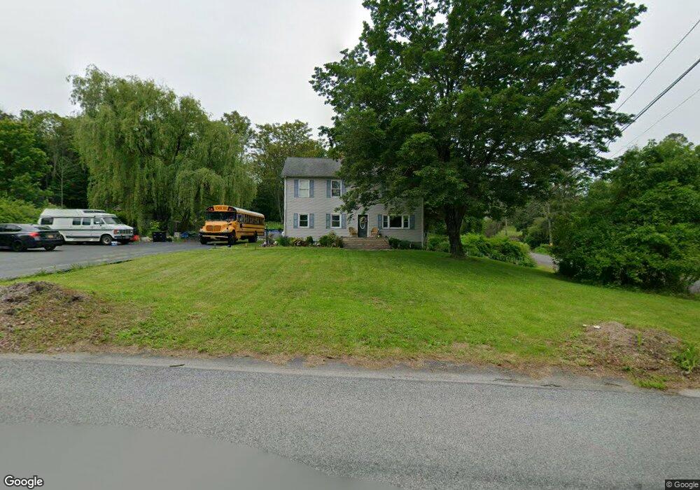
78 Plotts Rd Newton, NJ 07860
Estimated Value: $399,540 - $565,000
Studio
--
Bath
2,240
Sq Ft
$225/Sq Ft
Est. Value
About This Home
This home is located at 78 Plotts Rd, Newton, NJ 07860 and is currently estimated at $504,635, approximately $225 per square foot. 78 Plotts Rd is a home located in Sussex County with nearby schools including Marian E. McKeown School, Kittatinny Regional High School, and Northwest Christian School.
Ownership History
Date
Name
Owned For
Owner Type
Purchase Details
Closed on
Aug 22, 1995
Sold by
Midlantic Bank Na
Bought by
Principe Fred R and Principe Susan M
Current Estimated Value
Purchase Details
Closed on
Aug 5, 1994
Sold by
Turner Wayne F and Turner Sandra Lee
Bought by
Midlantic National Bank
Purchase Details
Closed on
Jun 29, 1994
Sold by
Turner Virginia H and Gurner Virginia
Bought by
Midlantic National Bank
Create a Home Valuation Report for This Property
The Home Valuation Report is an in-depth analysis detailing your home's value as well as a comparison with similar homes in the area
Home Values in the Area
Average Home Value in this Area
Purchase History
| Date | Buyer | Sale Price | Title Company |
|---|---|---|---|
| Principe Fred R | $105,000 | -- | |
| Midlantic National Bank | -- | -- | |
| Midlantic National Bank | -- | -- |
Source: Public Records
Tax History
| Year | Tax Paid | Tax Assessment Tax Assessment Total Assessment is a certain percentage of the fair market value that is determined by local assessors to be the total taxable value of land and additions on the property. | Land | Improvement |
|---|---|---|---|---|
| 2025 | $8,168 | $244,700 | $72,700 | $172,000 |
| 2024 | $7,735 | $244,700 | $72,700 | $172,000 |
| 2023 | $7,735 | $244,700 | $72,700 | $172,000 |
| 2022 | $7,547 | $244,700 | $72,700 | $172,000 |
| 2021 | $7,334 | $244,700 | $72,700 | $172,000 |
| 2020 | $7,307 | $244,700 | $72,700 | $172,000 |
| 2019 | $7,241 | $244,700 | $72,700 | $172,000 |
| 2018 | $7,101 | $244,700 | $72,700 | $172,000 |
| 2017 | $6,957 | $244,700 | $72,700 | $172,000 |
| 2016 | $6,754 | $244,700 | $72,700 | $172,000 |
| 2015 | $6,335 | $244,700 | $72,700 | $172,000 |
| 2014 | $6,262 | $244,700 | $72,700 | $172,000 |
Source: Public Records
Map
Nearby Homes
- 60 Plotts Rd
- 108 Lake Ave
- 37 Park Ave
- 14 Clinton St
- 7 Cherry St
- 11 Glenn Terrace
- 39 Oriole Terrace Unit 3
- 5 Bluebird Ct Unit 3
- 24 Townsend St
- 26 Cardinal Ln Unit 6
- 15 Rhea Run Unit R8
- 5 Jefferson St
- 48 Rhea Run
- 28 Peregrine Point
- 6 Madison St
- 38 Hillside Ave
- 5 Cedar St
- 39 Halsted St
- 39 Halsted St Unit 2
- 88 Trinity St
- 80 Plotts Rd
- 103 Rolling Acres Dr
- 74 Plotts Rd
- 97 Sunrise Trail
- 106 Rolling Acres Dr
- 85 Plotts Rd
- 204 Shaw Rd
- 107 Rolling Acres Dr
- 72 Plotts Rd
- 65 Plotts Rd
- 206 Shaw Rd
- 109 Rolling Acres Dr
- 81 Plotts Rd
- 208 Shaw Rd
- 99 Sunrise Trail
- 111 Rolling Acres Dr
- 113 Rolling Acres Dr
- 8 Shamrock Dr
- 100 Sunrise Trail
- 87 Plotts Rd
Your Personal Tour Guide
Ask me questions while you tour the home.