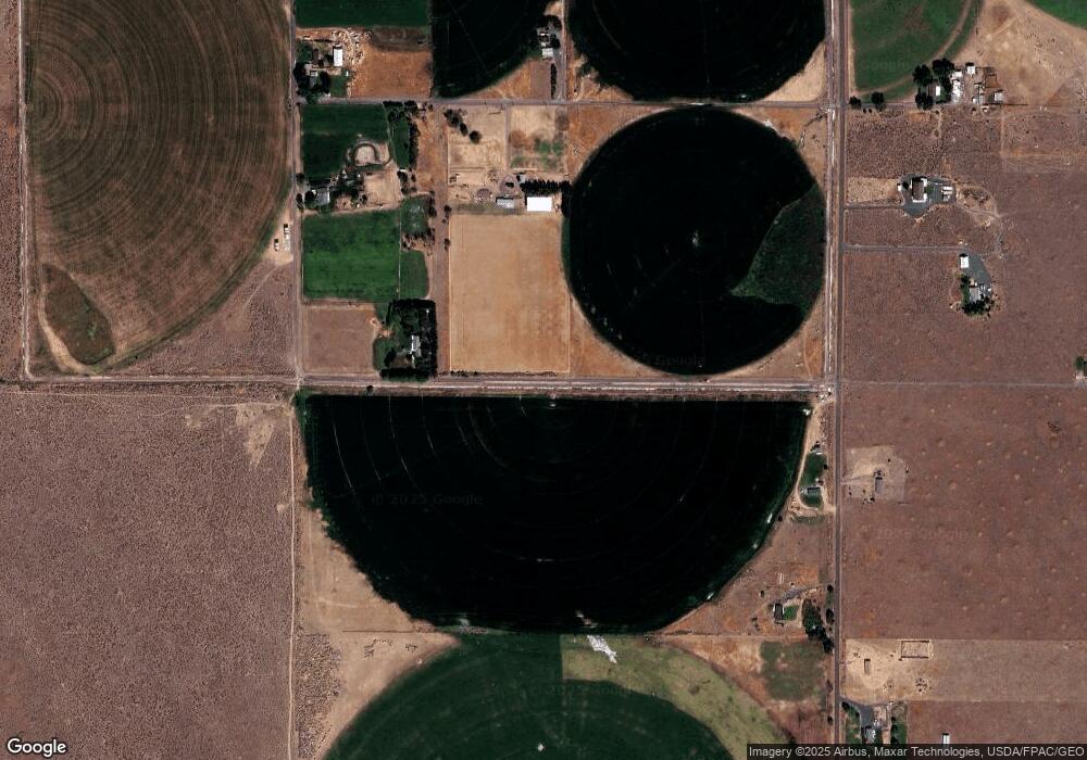
78 Road 18 NE Soap Lake, WA 98851
Estimated Value: $372,000 - $483,000
3
Beds
2
Baths
1,408
Sq Ft
$308/Sq Ft
Est. Value
About This Home
This home is located at 78 Road 18 NE, Soap Lake, WA 98851 and is currently estimated at $434,013, approximately $308 per square foot. 78 Road 18 NE is a home located in Grant County with nearby schools including Soap Lake Elementary School, Soap Lake Middle/High School, and RISE Academy.
Ownership History
Date
Name
Owned For
Owner Type
Purchase Details
Closed on
Aug 28, 2019
Sold by
Thomas Hugh S and Thomas Louise J
Bought by
Johnson James O and Johnson Marsha A
Current Estimated Value
Home Financials for this Owner
Home Financials are based on the most recent Mortgage that was taken out on this home.
Original Mortgage
$197,000
Outstanding Balance
$172,909
Interest Rate
3.7%
Mortgage Type
New Conventional
Estimated Equity
$261,104
Create a Home Valuation Report for This Property
The Home Valuation Report is an in-depth analysis detailing your home's value as well as a comparison with similar homes in the area
Home Values in the Area
Average Home Value in this Area
Purchase History
| Date | Buyer | Sale Price | Title Company |
|---|---|---|---|
| Johnson James O | $272,000 | Stewart Title Moses Lake |
Source: Public Records
Mortgage History
| Date | Status | Borrower | Loan Amount |
|---|---|---|---|
| Open | Johnson James O | $197,000 |
Source: Public Records
Tax History Compared to Growth
Tax History
| Year | Tax Paid | Tax Assessment Tax Assessment Total Assessment is a certain percentage of the fair market value that is determined by local assessors to be the total taxable value of land and additions on the property. | Land | Improvement |
|---|---|---|---|---|
| 2024 | $2,415 | $254,708 | $50,100 | $204,608 |
| 2023 | $2,248 | $249,745 | $25,050 | $224,695 |
| 2022 | $2,452 | $249,745 | $25,050 | $224,695 |
| 2021 | $1,762 | $249,745 | $25,050 | $224,695 |
| 2020 | $1,743 | $172,445 | $25,050 | $147,395 |
| 2019 | $1,264 | $127,990 | $25,050 | $102,940 |
| 2018 | $1,681 | $134,930 | $20,000 | $114,930 |
| 2017 | $1,276 | $101,950 | $17,000 | $84,950 |
| 2016 | $1,315 | $101,665 | $20,000 | $81,665 |
| 2013 | -- | $104,435 | $20,000 | $84,435 |
Source: Public Records
Map
Nearby Homes
- 153 Quincy Place NW
- 298 Road 19 NW
- 19055 Franklin St NW
- 358 Ephrata Ave NW
- 19160 Franklin St NW
- 19214 Lakeview Dr NW
- 69 Adrian Ave NW
- 19283 Saint Andrews Dr NW
- 0 Parcel 160661000 Unit NWM2331983
- 714 Canterbury Rd NW
- 19341 Saint Andrews Dr NW
- 19251 Quail Way
- 715 Buttercup St S
- 19242 Quail Way
- 1176 Washington 28
- 85 7th Ave SW
- 400 S Division St
- 19014 A 5
- 453 5th Ave SE
- 242 5th Ave SE
- 34 Road 18.5 NE
- 86 Road 18 NE
- 86 Road 18.5 NE
- 118 Road 18.5 NE
- 18653 Division Rd NW
- 97 Road 18.5 NE
- 0 Rd B 5 NE Unit 28105180
- 0 Rd B 5 NE Unit 29065335
- 0 Rd B 5 NE Unit NWM31961976
- 0 Rd B 5 NE Unit 905042
- 0 Rd D 5 NE Unit 149384
- 0 Rd D 5 NE Unit 1764816
- 35 Road 18.5 NE
- 35 Road 18 5 NE
- 35 Road 18 5 NE Unit 5
- 188 Road 18.5 NE
- 97 Road 18 NE
- 159 Road 18.5 NE
- 220 Road 18.5 NE
- 159 Road 18.8 NE
