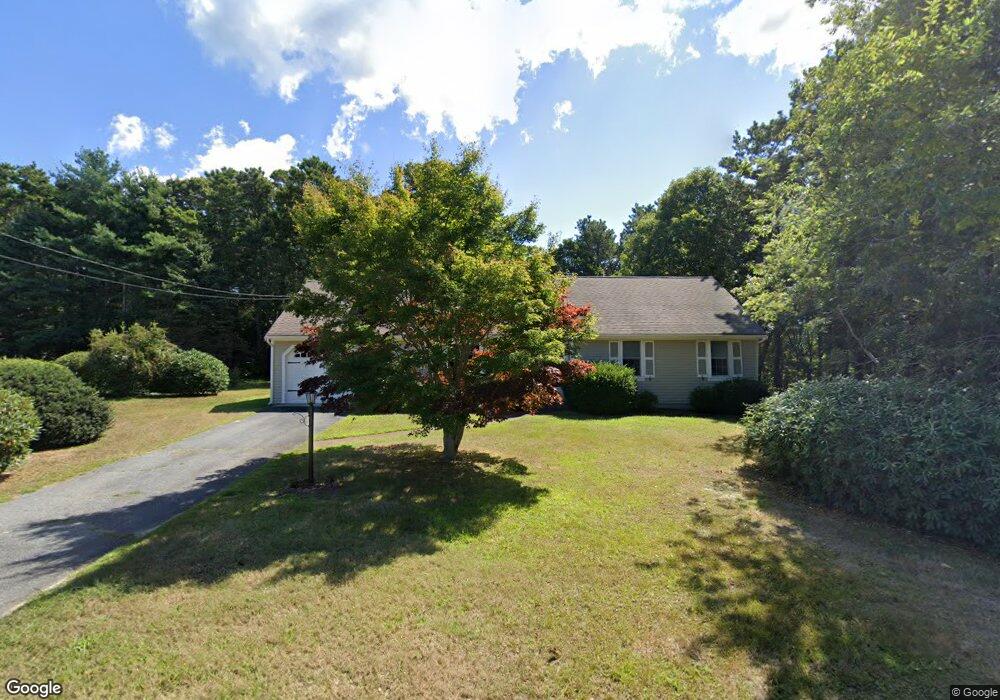
78 Robbin Run South Dennis, MA 02660
East Dennis NeighborhoodEstimated Value: $628,000 - $864,000
3
Beds
2
Baths
1,638
Sq Ft
$457/Sq Ft
Est. Value
About This Home
This home is located at 78 Robbin Run, South Dennis, MA 02660 and is currently estimated at $748,605, approximately $457 per square foot. 78 Robbin Run is a home located in Barnstable County with nearby schools including Dennis-Yarmouth Regional High School and Latham School.
Ownership History
Date
Name
Owned For
Owner Type
Purchase Details
Closed on
Mar 10, 2025
Sold by
Beverly A Scroggs Ft and Leone
Bought by
Scroggs Beverly and Leone Debra L
Current Estimated Value
Purchase Details
Closed on
Nov 26, 2018
Sold by
Scroggs Beverly
Bought by
Beverly A Scroggs Ft and Leone
Purchase Details
Closed on
Sep 21, 2000
Sold by
Urquhart John C and Urquhart Ruth W
Bought by
Scroggs Beverly
Create a Home Valuation Report for This Property
The Home Valuation Report is an in-depth analysis detailing your home's value as well as a comparison with similar homes in the area
Home Values in the Area
Average Home Value in this Area
Purchase History
| Date | Buyer | Sale Price | Title Company |
|---|---|---|---|
| Scroggs Beverly | -- | None Available | |
| Beverly A Scroggs Ft | -- | -- | |
| Scroggs Beverly | $163,000 | -- | |
| Scroggs Beverly | $163,000 | -- |
Source: Public Records
Mortgage History
| Date | Status | Borrower | Loan Amount |
|---|---|---|---|
| Previous Owner | Scroggs Beverly | $25,000 |
Source: Public Records
Tax History Compared to Growth
Tax History
| Year | Tax Paid | Tax Assessment Tax Assessment Total Assessment is a certain percentage of the fair market value that is determined by local assessors to be the total taxable value of land and additions on the property. | Land | Improvement |
|---|---|---|---|---|
| 2025 | $2,857 | $659,800 | $155,700 | $504,100 |
| 2024 | $2,781 | $633,500 | $149,700 | $483,800 |
| 2023 | $2,760 | $591,100 | $151,200 | $439,900 |
| 2022 | $2,580 | $460,700 | $136,200 | $324,500 |
| 2021 | $2,446 | $405,700 | $133,500 | $272,200 |
| 2020 | $2,241 | $367,300 | $120,200 | $247,100 |
| 2019 | $2,263 | $366,700 | $144,000 | $222,700 |
| 2018 | $2,233 | $352,200 | $149,600 | $202,600 |
| 2017 | $2,127 | $345,800 | $149,600 | $196,200 |
| 2016 | $2,046 | $313,300 | $149,600 | $163,700 |
| 2015 | $1,984 | $310,000 | $149,600 | $160,400 |
| 2014 | $1,969 | $310,000 | $149,600 | $160,400 |
Source: Public Records
Map
Nearby Homes
- 4 Landing Ln
- 102 Wildwood Rd
- 15 Trudy Cir
- 88 Whiffletree Ave
- 92 Whiffletree Ave
- 55 Monument View Rd
- 61 Barque Cir
- 25 Black Duck Cartway
- 43 Barque Cir
- 102 Prince Way
- 1706 Route 6a Unit 3
- 1706 Massachusetts 6a Unit 3
- 80 Abby Rd
- 310 Old Chatham Rd Unit J-12
- 310 Old Chatham Rd Unit D-30
- 310 Old Chatham Rd Unit A7
- 310 Old Chatham Rd Unit E47
- 310 Old Chatham Rd Unit A21
- 310 Old Chatham Rd Unit A-141
- 310 Old Chatham Rd Unit C14