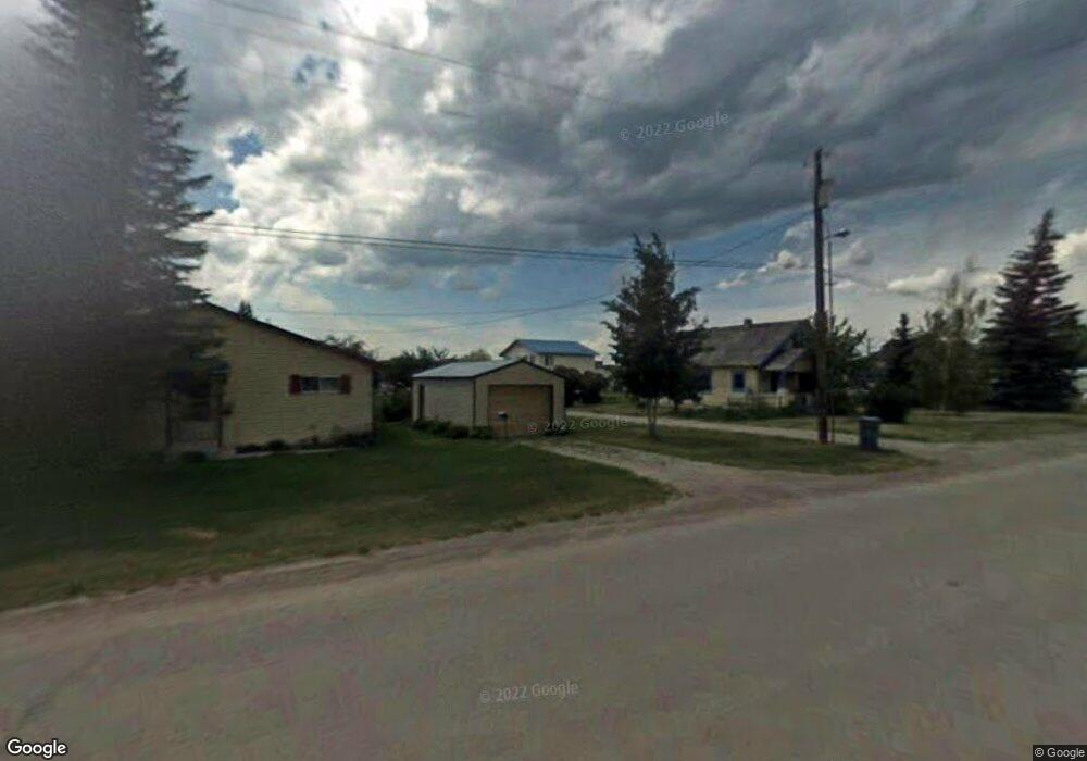
78 S 1st E Driggs, ID 83422
Estimated Value: $628,918 - $715,000
3
Beds
2
Baths
1,664
Sq Ft
$407/Sq Ft
Est. Value
About This Home
This home is located at 78 S 1st E, Driggs, ID 83422 and is currently estimated at $677,230, approximately $406 per square foot. 78 S 1st E is a home located in Teton County with nearby schools including Driggs Elementary School, Teton High School, and The Learning Academy Of Teton Valley.
Ownership History
Date
Name
Owned For
Owner Type
Purchase Details
Closed on
Jun 25, 2021
Sold by
Ellis Gary S
Bought by
78 South Llc
Current Estimated Value
Purchase Details
Closed on
Nov 12, 2014
Sold by
Lubing James K and Lubing Jill E
Bought by
Ellis Gary S
Home Financials for this Owner
Home Financials are based on the most recent Mortgage that was taken out on this home.
Original Mortgage
$66,250
Interest Rate
4.16%
Mortgage Type
Future Advance Clause Open End Mortgage
Create a Home Valuation Report for This Property
The Home Valuation Report is an in-depth analysis detailing your home's value as well as a comparison with similar homes in the area
Home Values in the Area
Average Home Value in this Area
Purchase History
| Date | Buyer | Sale Price | Title Company |
|---|---|---|---|
| 78 South Llc | -- | None Listed On Document | |
| Ellis Gary S | -- | Alliance Title |
Source: Public Records
Mortgage History
| Date | Status | Borrower | Loan Amount |
|---|---|---|---|
| Previous Owner | Ellis Gary S | $66,250 |
Source: Public Records
Tax History
| Year | Tax Paid | Tax Assessment Tax Assessment Total Assessment is a certain percentage of the fair market value that is determined by local assessors to be the total taxable value of land and additions on the property. | Land | Improvement |
|---|---|---|---|---|
| 2025 | $2,329 | $547,781 | $148,304 | $399,477 |
| 2024 | $2,261 | $524,943 | $127,770 | $397,173 |
| 2023 | $2,261 | $522,661 | $125,488 | $397,173 |
| 2022 | $2,336 | $442,413 | $96,968 | $345,445 |
| 2021 | $2,642 | $310,427 | $68,448 | $241,979 |
| 2020 | $2,656 | $255,747 | $56,059 | $199,688 |
| 2019 | $2,501 | $243,418 | $34,883 | $208,535 |
| 2018 | $1,757 | $155,360 | $31,712 | $123,648 |
| 2017 | $1,597 | $153,661 | $30,013 | $123,648 |
| 2016 | $1,517 | $134,469 | $25,483 | $108,986 |
| 2015 | $1,403 | $110,958 | $16,196 | $94,762 |
| 2011 | -- | $108,317 | $15,290 | $93,027 |
Source: Public Records
Map
Nearby Homes
- 290 N 1st E
- TBD S Hwy 33
- 377 Woodland Star Dr
- 70 Baywood Dr
- 662 Stone Peak Loop
- 424 Clubmoss Ln
- 674 Stone Peak Loop
- 735 Jasmine Ave
- 680 Stone Peak Loop
- 880 Sharp Tail Ct
- 337 Forest View Dr
- 321 Forest View Dr
- 201 E Ross Ave Unit B103
- 201 E Ross Ave Unit A103
- 525 N First St Unit F102
- 525 N First St Unit F204
- 525 N First St Unit B203
- 525 N First St Unit G103
- 525 N First St Unit B102
- 525 N First St Unit B101
Your Personal Tour Guide
Ask me questions while you tour the home.