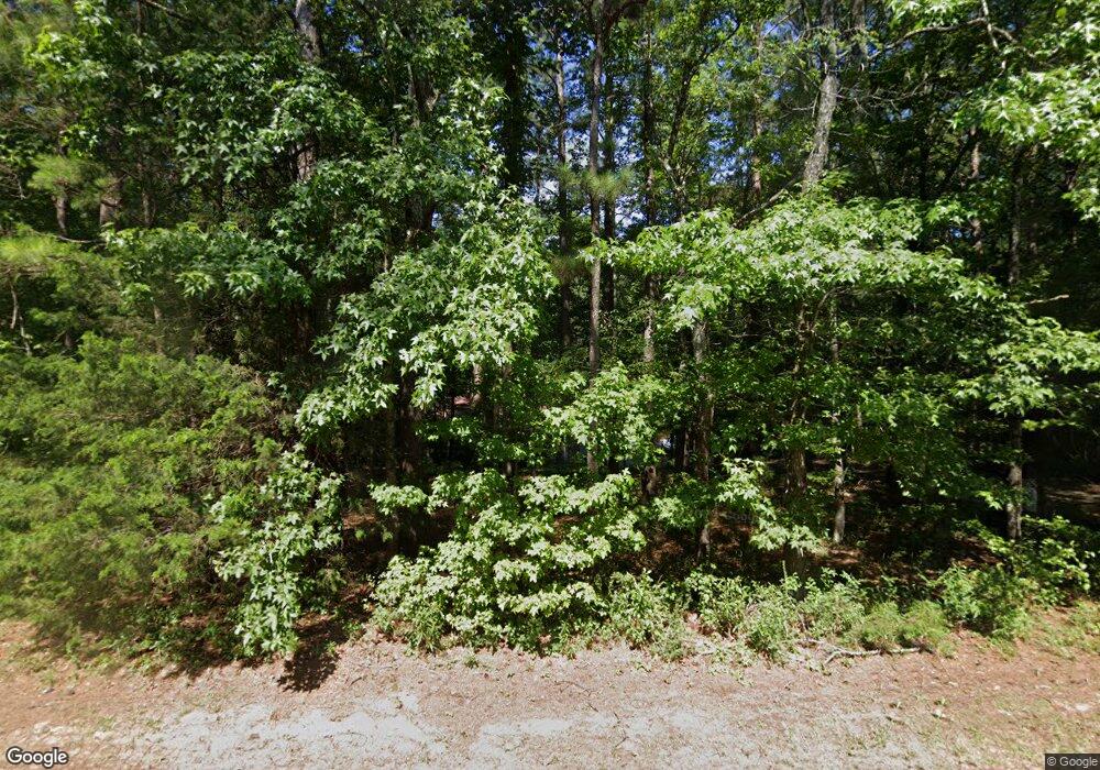
78 S Brooks Rd Lagrange, GA 30240
Estimated Value: $186,136 - $259,000
3
Beds
2
Baths
1,372
Sq Ft
$166/Sq Ft
Est. Value
About This Home
This home is located at 78 S Brooks Rd, Lagrange, GA 30240 and is currently estimated at $227,284, approximately $165 per square foot. 78 S Brooks Rd is a home located in Troup County with nearby schools including Whitesville Road Elementary School, Berta Weathersbee Elementary School, and Long Cane Elementary School.
Ownership History
Date
Name
Owned For
Owner Type
Purchase Details
Closed on
Jun 9, 2021
Sold by
Copeland Edward D
Bought by
Copeland Saivon A
Current Estimated Value
Home Financials for this Owner
Home Financials are based on the most recent Mortgage that was taken out on this home.
Original Mortgage
$117,826
Outstanding Balance
$106,677
Interest Rate
2.9%
Mortgage Type
FHA
Estimated Equity
$120,607
Purchase Details
Closed on
May 24, 2001
Sold by
Pinkston Nekisha
Bought by
Copeland Edward D
Purchase Details
Closed on
May 25, 2000
Sold by
Samuel Samuel C and Samuel Dartha E
Bought by
Pinkston Nekisha
Purchase Details
Closed on
Sep 3, 1996
Sold by
Chatt Land Dev
Bought by
Samuel Samuel C and Samuel Dartha E
Purchase Details
Closed on
Dec 15, 1995
Bought by
Chatt Land Dev
Create a Home Valuation Report for This Property
The Home Valuation Report is an in-depth analysis detailing your home's value as well as a comparison with similar homes in the area
Home Values in the Area
Average Home Value in this Area
Purchase History
| Date | Buyer | Sale Price | Title Company |
|---|---|---|---|
| Copeland Saivon A | $120,000 | -- | |
| Copeland Edward D | -- | -- | |
| Pinkston Nekisha | $89,900 | -- | |
| Samuel Samuel C | $8,700 | -- | |
| Chatt Land Dev | -- | -- |
Source: Public Records
Mortgage History
| Date | Status | Borrower | Loan Amount |
|---|---|---|---|
| Open | Copeland Saivon A | $117,826 |
Source: Public Records
Tax History Compared to Growth
Tax History
| Year | Tax Paid | Tax Assessment Tax Assessment Total Assessment is a certain percentage of the fair market value that is determined by local assessors to be the total taxable value of land and additions on the property. | Land | Improvement |
|---|---|---|---|---|
| 2024 | $1,497 | $54,880 | $10,000 | $44,880 |
| 2023 | $1,489 | $54,600 | $10,000 | $44,600 |
| 2022 | $1,457 | $52,200 | $10,000 | $42,200 |
| 2021 | $1,177 | $41,000 | $5,840 | $35,160 |
| 2020 | $1,080 | $37,800 | $5,840 | $31,960 |
| 2019 | $1,017 | $35,720 | $5,840 | $29,880 |
| 2018 | $810 | $28,832 | $4,352 | $24,480 |
| 2017 | $810 | $28,832 | $4,352 | $24,480 |
| 2016 | $811 | $28,862 | $4,352 | $24,510 |
| 2015 | $812 | $28,862 | $4,352 | $24,510 |
| 2014 | $770 | $27,426 | $4,352 | $23,074 |
| 2013 | -- | $29,109 | $4,352 | $24,757 |
Source: Public Records
Map
Nearby Homes
- 620 Old Hutchinson Mill Rd
- 0 Whitesville Rd Unit 10496838
- 0 Whitesville Rd Unit 10578327
- 2222 Whitesville Rd
- 2067 Bartley Rd
- 1605 Bartley Rd
- 0 Cannonville Rd
- 660 Bartley Rd
- 3913 Whitesville Rd
- 1808 Murphy Ave
- 22 Freeman Rd
- 1311 Juniper St
- 167 S Kight Dr
- 900 B N Pkwy
- 1301 Polk St
- 205 Grady St
- 1302 Murphy Ave
- 311 Tomme Rd
- 1300 Murphy Ave
- 0 Hamilton Rd Unit 10577713
- 58 S Brooks Rd
- S S Brooks Rd Unit LOT 8&9
- S S Brooks Rd
- 120 S Brooks Rd
- 36 S Brooks Rd
- 49 S Brooks Rd
- 685 New Hutchinson Mill Rd
- 647 New Hutchinson Mill Rd
- 26 S Brooks Rd Unit LOT 8&9
- 26 S Brooks Rd
- 146 S Brooks Rd
- 667 New Hutchinson Mill Rd
- 703 New Hutchinson Mill Rd
- 721 New Hutchinson Mill Rd
- 714 New Hutchinson Mill Rd
- 1124 Old Hutchinson Mill Rd
- 1126 Old Hutchinson Mill Rd
- 765 New Hutchinson Mill Rd
- 530 New Hutchinson Mill Rd
- 732 Old Hutchinson Mill Rd
