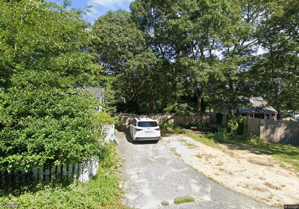
78 S Yarmouth Rd Dennis, MA 02638
Dennis Village NeighborhoodEstimated Value: $504,000 - $619,000
2
Beds
1
Bath
1,248
Sq Ft
$435/Sq Ft
Est. Value
About This Home
This home is located at 78 S Yarmouth Rd, Dennis, MA 02638 and is currently estimated at $543,451, approximately $435 per square foot. 78 S Yarmouth Rd is a home located in Barnstable County with nearby schools including Dennis-Yarmouth Regional High School.
Ownership History
Date
Name
Owned For
Owner Type
Purchase Details
Closed on
Mar 29, 2002
Sold by
Macdougal Robert H and Macdougal Michael J
Bought by
Rodgers Priscilla F
Current Estimated Value
Home Financials for this Owner
Home Financials are based on the most recent Mortgage that was taken out on this home.
Original Mortgage
$120,000
Interest Rate
6.88%
Mortgage Type
Purchase Money Mortgage
Purchase Details
Closed on
Feb 2, 1996
Sold by
Rock Evelyn N
Bought by
Macdougal Michael J
Create a Home Valuation Report for This Property
The Home Valuation Report is an in-depth analysis detailing your home's value as well as a comparison with similar homes in the area
Home Values in the Area
Average Home Value in this Area
Purchase History
| Date | Buyer | Sale Price | Title Company |
|---|---|---|---|
| Rodgers Priscilla F | $160,000 | -- | |
| Macdougal Michael J | $1,000 | -- |
Source: Public Records
Mortgage History
| Date | Status | Borrower | Loan Amount |
|---|---|---|---|
| Open | Macdougal Michael J | $100,000 | |
| Closed | Macdougal Michael J | $120,000 |
Source: Public Records
Tax History Compared to Growth
Tax History
| Year | Tax Paid | Tax Assessment Tax Assessment Total Assessment is a certain percentage of the fair market value that is determined by local assessors to be the total taxable value of land and additions on the property. | Land | Improvement |
|---|---|---|---|---|
| 2025 | $1,906 | $440,100 | $182,900 | $257,200 |
| 2024 | $1,745 | $397,400 | $175,900 | $221,500 |
| 2023 | $1,572 | $336,600 | $135,300 | $201,300 |
| 2022 | $1,517 | $270,900 | $121,900 | $149,000 |
| 2021 | $1,409 | $233,600 | $119,500 | $114,100 |
| 2020 | $1,452 | $238,000 | $130,400 | $107,600 |
| 2019 | $1,585 | $256,900 | $159,800 | $97,100 |
| 2018 | $1,360 | $214,500 | $121,700 | $92,800 |
| 2017 | $1,319 | $214,500 | $121,700 | $92,800 |
| 2016 | $1,299 | $199,000 | $121,700 | $77,300 |
| 2015 | $1,274 | $199,000 | $121,700 | $77,300 |
| 2014 | $1,120 | $176,300 | $101,400 | $74,900 |
Source: Public Records
Map
Nearby Homes
- 59 Main St Unit 19-2
- 59 Route 6a Unit 29-4
- 6 Nimble Hill Dr
- 13 Covey Dr
- 268 Main St
- 51 Bray Farm Rd N
- 111 Merchant Ave
- 4 Ebb Rd
- 44 Stratford Ln
- 11 Uncle Stanleys Way
- 153 Bayridge Dr
- 64 Kates Path
- 42 John Hall Cartway Unit 42
- 15 Captain Jud Rd
- 34 Kates Path
- 34 Kates Path Unit 34
- 6 Thomas Ct
- 50 John Hall Cartway
- 50 John Hall Cartway Unit 50
- 15 Signal Hill Dr