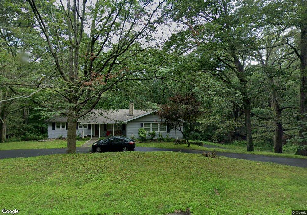
78 Scott Ridge Rd Ridgefield, CT 06877
Estimated Value: $725,083 - $920,000
3
Beds
4
Baths
1,844
Sq Ft
$444/Sq Ft
Est. Value
About This Home
This home is located at 78 Scott Ridge Rd, Ridgefield, CT 06877 and is currently estimated at $819,271, approximately $444 per square foot. 78 Scott Ridge Rd is a home located in Fairfield County with nearby schools including Scotts Ridge Middle School, Ridgefield High School, and Ridgefield Academy.
Ownership History
Date
Name
Owned For
Owner Type
Purchase Details
Closed on
Apr 13, 1999
Sold by
Slobin Scott A and Slobin Lynn B
Bought by
Burke Kevin J and Burke Brenda
Current Estimated Value
Purchase Details
Closed on
Jun 15, 1998
Sold by
Scott William M and Lapointe-Scott Karen
Bought by
Slobin Scott A and Slobin Lynn B
Purchase Details
Closed on
Jun 30, 1992
Sold by
Sternburg Mark
Bought by
Scott William and Scott Karen
Create a Home Valuation Report for This Property
The Home Valuation Report is an in-depth analysis detailing your home's value as well as a comparison with similar homes in the area
Home Values in the Area
Average Home Value in this Area
Purchase History
| Date | Buyer | Sale Price | Title Company |
|---|---|---|---|
| Burke Kevin J | $325,000 | -- | |
| Slobin Scott A | $289,000 | -- | |
| Scott William | $210,000 | -- |
Source: Public Records
Mortgage History
| Date | Status | Borrower | Loan Amount |
|---|---|---|---|
| Open | Scott William | $50,000 | |
| Open | Scott William | $226,500 |
Source: Public Records
Tax History
| Year | Tax Paid | Tax Assessment Tax Assessment Total Assessment is a certain percentage of the fair market value that is determined by local assessors to be the total taxable value of land and additions on the property. | Land | Improvement |
|---|---|---|---|---|
| 2025 | $8,687 | $317,170 | $179,550 | $137,620 |
| 2024 | $8,357 | $317,170 | $179,550 | $137,620 |
| 2023 | $8,186 | $317,170 | $179,550 | $137,620 |
| 2022 | $8,157 | $286,910 | $149,630 | $137,280 |
| 2021 | $8,094 | $286,910 | $149,630 | $137,280 |
| 2020 | $8,068 | $286,910 | $149,630 | $137,280 |
| 2019 | $8,068 | $286,910 | $149,630 | $137,280 |
| 2018 | $7,970 | $286,910 | $149,630 | $137,280 |
| 2017 | $6,991 | $256,910 | $115,870 | $141,040 |
| 2016 | $6,857 | $256,910 | $115,870 | $141,040 |
| 2015 | $6,682 | $256,910 | $115,870 | $141,040 |
| 2014 | $6,682 | $256,910 | $115,870 | $141,040 |
Source: Public Records
Map
Nearby Homes
- 82 Scott Ridge Rd
- 111 Rock Rd
- 110 Rock Rd
- 87 Scott Ridge Rd
- 70 Scott Ridge Rd
- 108 Rock Rd
- 96 Scott Ridge Rd
- 99 Rock Rd
- 104 Scott Ridge Rd
- 484 Barrack Hill Rd
- 102 Rock Rd
- 69 Scott Ridge Rd
- 62 Scott Ridge Rd
- 456 Barrack Hill Rd
- 459 Barrack Hill Rd
- 497 Barrack Hill Rd
- 41 Caudatowa Dr
- 60 Scott Ridge Rd
- 25 Caudatowa Dr
- 448 Barrack Hill Rd
Your Personal Tour Guide
Ask me questions while you tour the home.