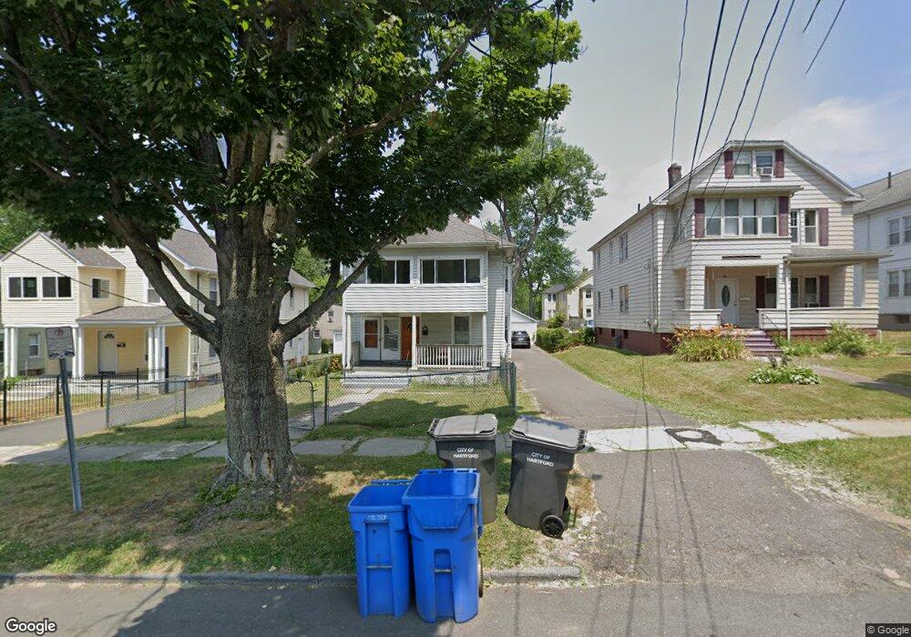
78 Sharon St Unit 80 Hartford, CT 06112
Blue Hills NeighborhoodEstimated Value: $303,000 - $423,000
4
Beds
2
Baths
2,298
Sq Ft
$152/Sq Ft
Est. Value
About This Home
This home is located at 78 Sharon St Unit 80, Hartford, CT 06112 and is currently estimated at $348,499, approximately $151 per square foot. 78 Sharon St Unit 80 is a home located in Hartford County with nearby schools including Breakthrough Magnet School - North Campus, Rawson School, and West Middle School.
Ownership History
Date
Name
Owned For
Owner Type
Purchase Details
Closed on
Mar 26, 2002
Sold by
Est Gordon Jerome and Mcdonald Vernon
Bought by
Jenkins Robert and Jenkins Carletta
Current Estimated Value
Home Financials for this Owner
Home Financials are based on the most recent Mortgage that was taken out on this home.
Original Mortgage
$97,850
Interest Rate
6.91%
Create a Home Valuation Report for This Property
The Home Valuation Report is an in-depth analysis detailing your home's value as well as a comparison with similar homes in the area
Home Values in the Area
Average Home Value in this Area
Purchase History
| Date | Buyer | Sale Price | Title Company |
|---|---|---|---|
| Jenkins Robert | $51,500 | -- | |
| Jenkins Robert | $51,500 | -- |
Source: Public Records
Mortgage History
| Date | Status | Borrower | Loan Amount |
|---|---|---|---|
| Open | Jenkins Robert | $164,147 | |
| Closed | Jenkins Robert | $170,800 | |
| Closed | Jenkins Robert | $125,000 | |
| Closed | Jenkins Robert | $97,850 |
Source: Public Records
Tax History Compared to Growth
Tax History
| Year | Tax Paid | Tax Assessment Tax Assessment Total Assessment is a certain percentage of the fair market value that is determined by local assessors to be the total taxable value of land and additions on the property. | Land | Improvement |
|---|---|---|---|---|
| 2025 | $6,768 | $98,159 | $6,248 | $91,911 |
| 2024 | $6,768 | $98,159 | $6,248 | $91,911 |
| 2023 | $6,768 | $98,159 | $6,248 | $91,911 |
| 2022 | $6,768 | $98,160 | $6,248 | $91,912 |
| 2021 | $4,542 | $61,145 | $7,385 | $53,760 |
| 2020 | $4,542 | $61,145 | $7,385 | $53,760 |
| 2019 | $4,542 | $61,145 | $7,385 | $53,760 |
| 2018 | $4,389 | $59,084 | $7,136 | $51,948 |
| 2016 | $3,963 | $53,340 | $6,797 | $46,543 |
| 2015 | $3,774 | $50,806 | $6,473 | $44,333 |
| 2014 | $3,682 | $49,564 | $6,315 | $43,249 |
Source: Public Records
Map
Nearby Homes
- 111 Westbourne Pkwy Unit 113
- 25 Cornwall St
- 109 Blue Hills Ave
- 181 Westbourne Pkwy
- 144 Thomaston St
- 157 Pembroke St Unit 159
- 103 Baltimore St
- 150 Adams St Unit 152
- 211 Holcomb St Unit 213
- 243 Terry Rd
- 131-135,137-145,119- Albany Ave
- 175 Scarborough St
- 179 Manchester St
- 355 Cornwall St Unit 357
- 90 Manchester St
- 111 Bloomfield Ave
- 165 Bloomfield Ave
- 87 Mansfield St Unit 89
- 68 Sterling St Unit 70
- 78-80 Cabot St
- 74 Sharon St Unit 76
- 82 Sharon St Unit 84
- 86 Sharon St Unit 88
- 70 Sharon St Unit 72
- 66 Cornwall St
- 77 Hebron St Unit 79
- 66 Sharon St Unit 68
- 82/84 Sharon St
- 90 Sharon St Unit 92
- 85 Sharon St Unit 87
- 81 Hebron St Unit 83
- 62 Sharon St Unit 64
- 73 Hebron St Unit 75
- 77 Sharon St Unit 79
- 73 Sharon St Unit 75
- 81 Sharon St Unit 83
- 69 Sharon St Unit 71
- 65 Sharon St Unit 67
- 58 Sharon St Unit 60
- 57 Cornwall St Unit 59