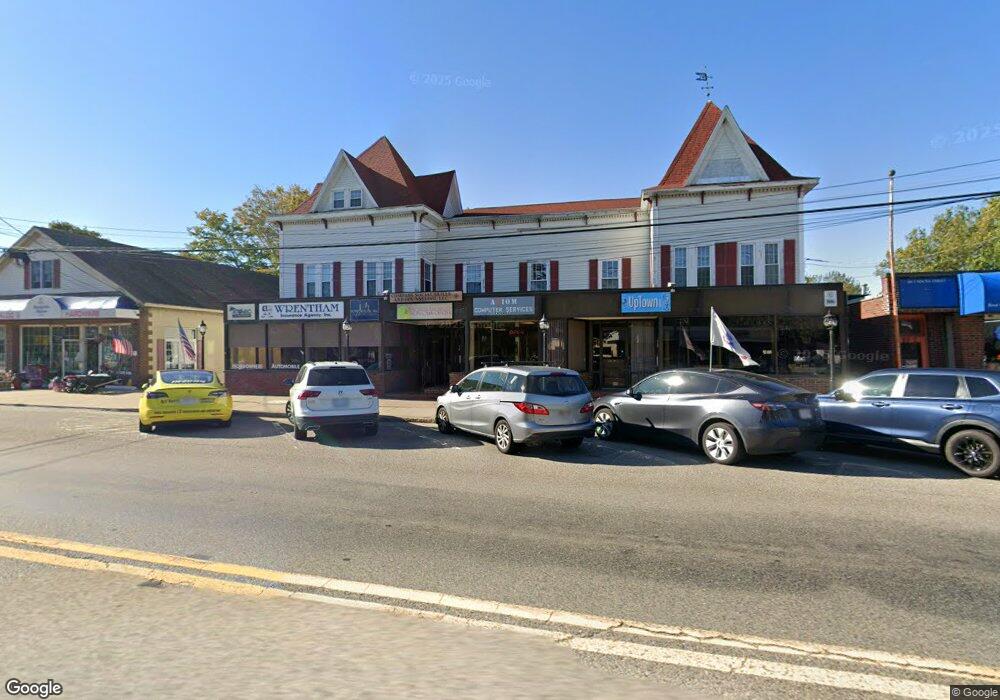
78 South St Wrentham, MA 02093
Estimated Value: $1,680,528
--
Bed
--
Bath
9,425
Sq Ft
$178/Sq Ft
Est. Value
About This Home
This home is located at 78 South St, Wrentham, MA 02093 and is currently estimated at $1,680,528, approximately $178 per square foot. 78 South St is a home located in Norfolk County with nearby schools including Delaney Elementary School and Charles E Roderick.
Ownership History
Date
Name
Owned For
Owner Type
Purchase Details
Closed on
Jun 14, 2017
Sold by
Wooding Theodore
Bought by
Wooding June A
Current Estimated Value
Purchase Details
Closed on
Aug 26, 1992
Sold by
Galvin Wm T Jr Est
Bought by
Oregon Properties Rt
Create a Home Valuation Report for This Property
The Home Valuation Report is an in-depth analysis detailing your home's value as well as a comparison with similar homes in the area
Home Values in the Area
Average Home Value in this Area
Purchase History
| Date | Buyer | Sale Price | Title Company |
|---|---|---|---|
| Wooding June A | -- | -- | |
| Oregon Properties Rt | $395,000 | -- |
Source: Public Records
Mortgage History
| Date | Status | Borrower | Loan Amount |
|---|---|---|---|
| Previous Owner | Oregon Properties Rt | $1,029,000 | |
| Previous Owner | Oregon Properties Rt | $735,000 | |
| Previous Owner | Oregon Properties Rt | $35,100 |
Source: Public Records
Tax History Compared to Growth
Tax History
| Year | Tax Paid | Tax Assessment Tax Assessment Total Assessment is a certain percentage of the fair market value that is determined by local assessors to be the total taxable value of land and additions on the property. | Land | Improvement |
|---|---|---|---|---|
| 2025 | $16,716 | $954,100 | $265,000 | $689,100 |
| 2024 | $16,573 | $954,100 | $265,000 | $689,100 |
| 2023 | $16,067 | $954,100 | $265,000 | $689,100 |
| 2022 | $16,817 | $925,000 | $265,000 | $660,000 |
| 2021 | $16,114 | $925,000 | $265,000 | $660,000 |
| 2020 | $16,194 | $880,600 | $248,800 | $631,800 |
| 2019 | $15,809 | $866,700 | $248,800 | $617,900 |
| 2018 | $16,297 | $893,000 | $301,500 | $591,500 |
| 2017 | $16,388 | $874,000 | $295,600 | $578,400 |
| 2016 | $16,072 | $866,400 | $289,800 | $576,600 |
| 2015 | $15,852 | $845,000 | $281,200 | $563,800 |
| 2014 | $15,534 | $837,400 | $275,600 | $561,800 |
Source: Public Records
Map
Nearby Homes
- 10 Nature View Dr
- 15 Nature View Dr
- 131 Creek St Unit 7
- 11 Earle Stewart Ln
- Lot 3 - 14 Earle Stewart Ln
- 319 Taunton St
- 270 Dedham St
- 1 Lorraine Metcalf Dr
- Lot 1 - Blueberry 2 Car Plan at King Philip Estates
- Lot 8 - Blueberry 2 Car Plan at King Philip Estates
- Lot 6 - Blueberry 3 Car Plan at King Philip Estates
- Lot 2 - Camden 2 Car Plan at King Philip Estates
- Lot 7 - Cedar Plan at King Philip Estates
- Lot 4 - Hemingway 2 Car Plan at King Philip Estates
- Lot 3 - Blueberry 2 Car Plan at King Philip Estates
- 362 East St
- 570 Franklin St
- 246 Forest Grove Ave
- 791 South St Unit 5
- 65 Pond St
- 78 South St Unit 3-1A
- 78 South St Unit 202
- 78 South St Unit lower
- 78 South St Unit 3-1B
- 78 South St Unit 101
- 78 South St Unit LL1
- 78 South St Unit 104
- 78 South St Unit 103/105
- 78 South St Unit 105
- 78 South St Unit 103
- 78 South St Unit 201
- 60 South St Unit LL
- 60 South St Unit B
- 60 South St Unit C
- 60 South St Unit A
- 60 South St Unit D
- 60 South St Unit 2
- 60 South St Unit L4
- 60 South St Unit L1-4
- 60 South St Unit 3