78 Southside Rd Bristol, ME 04539
Estimated Value: $147,351
3
Beds
1
Bath
963
Sq Ft
$153/Sq Ft
Est. Value
About This Home
This home is located at 78 Southside Rd, Bristol, ME 04539 and is currently estimated at $147,351, approximately $153 per square foot. 78 Southside Rd is a home with nearby schools including Bristol Consolidated School.
Ownership History
Date
Name
Owned For
Owner Type
Purchase Details
Closed on
Jun 3, 2025
Sold by
Sawyer Brian K
Bought by
F V Miss Vicki Inc
Current Estimated Value
Purchase Details
Closed on
Jan 21, 2020
Sold by
Sawyer Brian K
Bought by
Vanhemmen Jeanne-Marie and Vanhemmen Pim
Purchase Details
Closed on
Nov 2, 2005
Sold by
Reilly William S and Reilly Michael H
Bought by
Sawyer Brian K
Create a Home Valuation Report for This Property
The Home Valuation Report is an in-depth analysis detailing your home's value as well as a comparison with similar homes in the area
Home Values in the Area
Average Home Value in this Area
Purchase History
| Date | Buyer | Sale Price | Title Company |
|---|---|---|---|
| F V Miss Vicki Inc | $150,000 | None Available | |
| F V Miss Vicki Inc | $150,000 | None Available | |
| Vanhemmen Jeanne-Marie | -- | None Available | |
| Vanhemmen Jeanne-Marie | -- | None Available | |
| Sawyer Brian K | -- | -- | |
| Sawyer Brian K | -- | -- |
Source: Public Records
Tax History
| Year | Tax Paid | Tax Assessment Tax Assessment Total Assessment is a certain percentage of the fair market value that is determined by local assessors to be the total taxable value of land and additions on the property. | Land | Improvement |
|---|---|---|---|---|
| 2024 | $1,495 | $168,000 | $165,400 | $2,600 |
| 2023 | $2,148 | $270,200 | $165,400 | $104,800 |
| 2022 | $1,945 | $270,200 | $165,400 | $104,800 |
| 2021 | $1,945 | $270,200 | $165,400 | $104,800 |
| 2020 | $1,959 | $270,200 | $165,400 | $104,800 |
| 2019 | $1,824 | $270,200 | $165,400 | $104,800 |
| 2018 | $1,689 | $270,200 | $165,400 | $104,800 |
| 2017 | $1,689 | $270,200 | $165,400 | $104,800 |
| 2016 | $1,181 | $149,500 | $77,100 | $72,400 |
| 2015 | $1,263 | $149,500 | $77,100 | $72,400 |
| 2014 | $1,181 | $149,500 | $77,100 | $72,400 |
| 2013 | $1,151 | $149,500 | $77,100 | $72,400 |
Source: Public Records
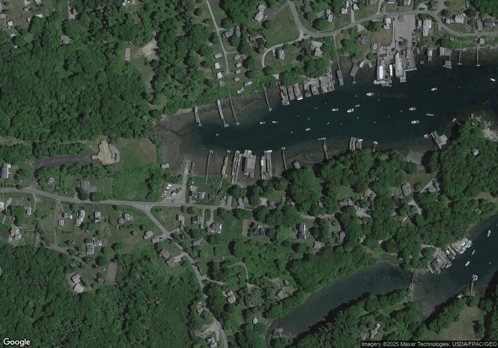
Map
Nearby Homes
- 82 Southside Rd
- 147 Maine 32
- 5 Penniman Rd
- 146 State Route 32
- 2593 Bristol Rd
- 69 McFarland Shore Rd
- 2700 Bristol Rd
- 42 Old Mill Rd
- Lot 5 Jack's Ln
- Lot 4 Jack's Ln
- 40 Eastwood Ct
- 36 Eastwood Ct
- Lot 13 Nahanada Rd
- Lot 11 Nahanada Rd
- 20 Ocean Side Ln
- 0 Lockhart Cove Rd
- Map 004 Lot 089-03
- M4 L89-E Fiske Ln
- Lts 23A&24 Birch Island
- 28 & 31 Will Alley Rd
- 82 Southside Rd
- 70 Southside Rd
- 69 Northside Rd
- 73 Southside Rd
- 71 Southside Rd
- 85 Southside Rd
- 85 Southside Rd
- 60 Southside
- 95 Southside Rd
- 14 Bridge View Ln
- 11 Leeman Hill Rd
- 7 Leeman Hill Rd
- 3 Bridge View Ln
- 47 Southside Rd
- 53 Southside Rd
- 26 & 32 S Side Rd
- 16 Bridge View Ln
- 27 Osier Rd
- 104 Southside Rd
- 103 Southside Rd
Your Personal Tour Guide
Ask me questions while you tour the home.