78 Stodge Meadow Rd Ashburnham, MA 01430
Estimated Value: $181,000 - $339,000
2
Beds
1
Bath
540
Sq Ft
$502/Sq Ft
Est. Value
About This Home
This home is located at 78 Stodge Meadow Rd, Ashburnham, MA 01430 and is currently estimated at $271,135, approximately $502 per square foot. 78 Stodge Meadow Rd is a home located in Worcester County with nearby schools including Oakmont Regional High School.
Ownership History
Date
Name
Owned For
Owner Type
Purchase Details
Closed on
Feb 15, 2025
Sold by
78 Stodgemeadow Road Rt and Niehaus
Bought by
Niehaus Michael J
Current Estimated Value
Purchase Details
Closed on
May 21, 2020
Sold by
Joan M Nichaus Ret and Niehaus
Bought by
78 Stodgemeadow Road Rt and Niehaus
Purchase Details
Closed on
May 20, 2013
Sold by
Niehaus Joan M and Niehaus Eric J
Bought by
Joan M Niehaus Ret
Purchase Details
Closed on
Jul 22, 1976
Bought by
Niehaus Joan M and Niehaus Eric J
Create a Home Valuation Report for This Property
The Home Valuation Report is an in-depth analysis detailing your home's value as well as a comparison with similar homes in the area
Home Values in the Area
Average Home Value in this Area
Purchase History
| Date | Buyer | Sale Price | Title Company |
|---|---|---|---|
| Niehaus Michael J | -- | None Available | |
| Niehaus Michael J | -- | None Available | |
| 78 Stodgemeadow Road Rt | -- | None Available | |
| 78 Stodgemeadow Road Rt | -- | None Available | |
| Joan M Niehaus Ret | -- | -- | |
| Joan M Niehaus Ret | -- | -- | |
| Niehaus Joan M | -- | -- |
Source: Public Records
Tax History Compared to Growth
Tax History
| Year | Tax Paid | Tax Assessment Tax Assessment Total Assessment is a certain percentage of the fair market value that is determined by local assessors to be the total taxable value of land and additions on the property. | Land | Improvement |
|---|---|---|---|---|
| 2025 | $3,108 | $209,000 | $130,000 | $79,000 |
| 2024 | $3,292 | $209,000 | $130,000 | $79,000 |
| 2023 | $3,333 | $201,400 | $130,000 | $71,400 |
| 2022 | $3,268 | $173,100 | $112,400 | $60,700 |
| 2021 | $3,395 | $165,200 | $112,400 | $52,800 |
| 2020 | $3,321 | $165,200 | $112,400 | $52,800 |
| 2019 | $3,364 | $149,200 | $105,900 | $43,300 |
| 2018 | $3,283 | $140,300 | $101,000 | $39,300 |
| 2017 | $3,172 | $138,100 | $100,000 | $38,100 |
| 2016 | $3,094 | $136,000 | $98,000 | $38,000 |
| 2015 | $3,030 | $136,000 | $98,000 | $38,000 |
Source: Public Records
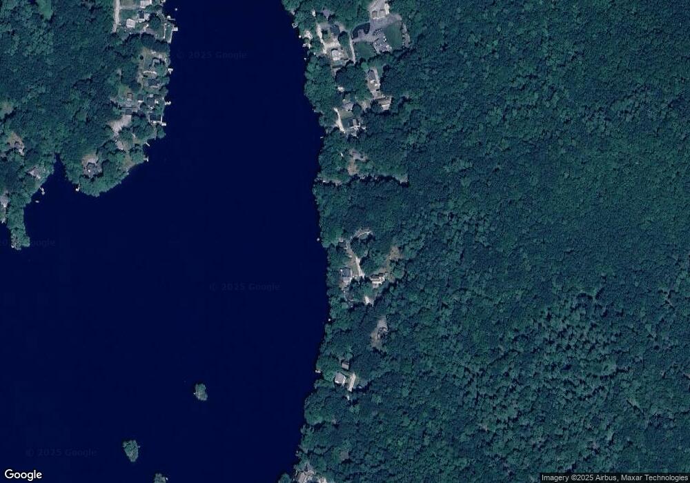
Map
Nearby Homes
- 0 Rindge Turnpike
- 152 Ashby Rd
- 151 Wilker Rd
- 101 Russell Hill Rd
- 44 Rindge State Rd
- 2409 W State Rd
- 57 Ashby Rd
- 30 Russell Hill Rd
- 72 Park Rd
- 18 Main St
- Lot 3 W State Rd
- 100 Main St
- 189 Fitchburg Rd
- 544 South Rd
- 137 Deer Bay Rd
- 9 Willard Rd
- 705 Richardson Rd
- 136 Willard Rd
- 75 Willard Rd
- 18 Corey Hill Rd
- 80 Stodge Meadow Rd
- 77 Stodge Meadow Rd
- 81 Stodge Meadow Rd
- 75 Stodge Meadow Rd
- 84 Stodge Meadow Rd
- 73 Stodge Meadow Rd
- 71 Stodge Meadow Rd
- 86 Stodge Meadow Rd
- 87 Stodge Meadow Rd
- 86 & 87 Stodge Meadow Rd
- 69 Stodge Meadow Rd
- 67 Stodge Meadow Rd
- 90 Stodge Meadow Rd
- 92 Stodge Meadow Rd
- 65 Stodge Meadow Rd
- 63 Stodge Meadow Rd
- 94 Stodge Meadow Rd
- 61 Stodge Meadow Rd
- 7 Rosemary Ln
- 7 Rosemary Ln Unit 1