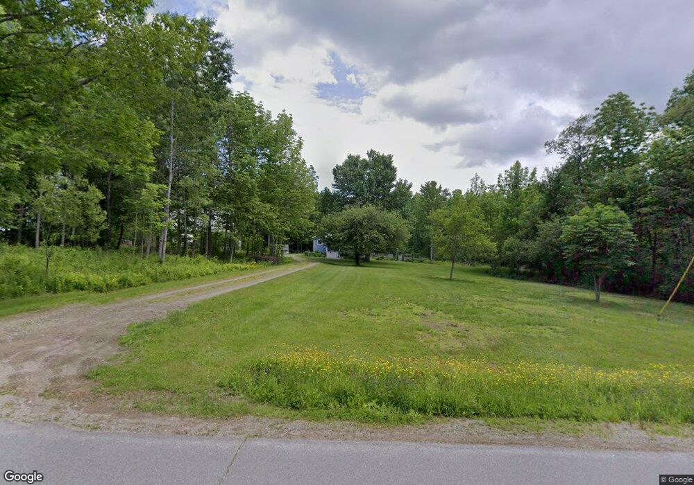
78 Tufts Rd Belfast, ME 04915
Estimated Value: $305,000 - $566,000
3
Beds
2
Baths
1,664
Sq Ft
$276/Sq Ft
Est. Value
About This Home
This home is located at 78 Tufts Rd, Belfast, ME 04915 and is currently estimated at $460,014, approximately $276 per square foot. 78 Tufts Rd is a home located in Waldo County with nearby schools including Cornerspring Children's House and The School At Sweetser - Belfast.
Ownership History
Date
Name
Owned For
Owner Type
Purchase Details
Closed on
Apr 14, 2025
Sold by
Trefry Wendy A
Bought by
Wendy A Trefry Lt and Trefry
Current Estimated Value
Purchase Details
Closed on
Oct 7, 2010
Sold by
Trefry Dennis R and Trefry Wendy A
Bought by
Trefry Dennis R and Trefry Wendy A
Purchase Details
Closed on
Oct 23, 2009
Sold by
Dehner Shawn and Dehner Jamie
Bought by
Trefry Dennis R and Trefrey Wendy A
Home Financials for this Owner
Home Financials are based on the most recent Mortgage that was taken out on this home.
Original Mortgage
$125,000
Interest Rate
5.09%
Mortgage Type
Commercial
Purchase Details
Closed on
Jul 2, 2007
Sold by
Andersen Robert P and Andersen Sabra G
Bought by
Dehner Shawn and Dehner Jamie
Create a Home Valuation Report for This Property
The Home Valuation Report is an in-depth analysis detailing your home's value as well as a comparison with similar homes in the area
Home Values in the Area
Average Home Value in this Area
Purchase History
| Date | Buyer | Sale Price | Title Company |
|---|---|---|---|
| Wendy A Trefry Lt | -- | None Available | |
| Wendy A Trefry Lt | -- | None Available | |
| Trefry Dennis R | -- | -- | |
| Trefry Dennis R | -- | -- | |
| Trefry Dennis R | -- | -- | |
| Trefry Dennis R | -- | -- | |
| Trefry Dennis R | -- | -- | |
| Dehner Shawn | -- | -- | |
| Dehner Shawn | -- | -- |
Source: Public Records
Mortgage History
| Date | Status | Borrower | Loan Amount |
|---|---|---|---|
| Previous Owner | Trefry Dennis R | $125,000 |
Source: Public Records
Tax History Compared to Growth
Tax History
| Year | Tax Paid | Tax Assessment Tax Assessment Total Assessment is a certain percentage of the fair market value that is determined by local assessors to be the total taxable value of land and additions on the property. | Land | Improvement |
|---|---|---|---|---|
| 2024 | $7,386 | $479,600 | $96,500 | $383,100 |
| 2023 | $5,702 | $283,700 | $61,600 | $222,100 |
| 2022 | $5,859 | $273,800 | $61,600 | $212,200 |
| 2021 | $6,024 | $273,800 | $61,600 | $212,200 |
| 2020 | $5,813 | $249,500 | $61,600 | $187,900 |
| 2019 | $5,402 | $235,900 | $46,600 | $189,300 |
| 2018 | $5,355 | $235,900 | $46,600 | $189,300 |
| 2017 | $5,166 | $235,900 | $46,600 | $189,300 |
| 2016 | $5,338 | $233,100 | $43,800 | $189,300 |
| 2015 | $5,221 | $233,100 | $43,800 | $189,300 |
| 2014 | $5,047 | $233,100 | $43,800 | $189,300 |
| 2013 | $4,848 | $233,100 | $43,800 | $189,300 |
Source: Public Records
Map
Nearby Homes
- 100 Belmont Ave Unit 2
- 55 Londonderry Ln
- 5 Freedom Ln
- 81 Belmont Ave
- 21 Dream Ln
- 72 Pitcher Rd
- 28 Springbrook Dr Unit TH-10
- 20 Springbrook Dr Unit TH-6
- 327 Belmont Ave
- 344 Belmont Ave
- 5 Whitetail St
- 6 Whitetail St
- 7 Whitetail St
- 361 Belmont Ave
- 27 Bowling Green Ln
- 11 Bowling Green Ln
- Lots1,2,2A Elementary Ave
- 53 Lincolnville Ave
- 00 Armstrong Rd
- Lot 6 School St