78 Us Route One Cumberland, ME 04110
Cumberland Foreside Neighborhood
--
Bed
2
Baths
2,560
Sq Ft
1.95
Acres
About This Home
This home is located at 78 Us Route One, Cumberland, ME 04110. 78 Us Route One is a home located in Cumberland County with nearby schools including Mabel I. Wilson School, Greely Middle School 4-5, and Greely Middle School.
Ownership History
Date
Name
Owned For
Owner Type
Purchase Details
Closed on
Jul 9, 2021
Sold by
Chase David
Bought by
A & M Hldg Llc
Home Financials for this Owner
Home Financials are based on the most recent Mortgage that was taken out on this home.
Original Mortgage
$450,000
Outstanding Balance
$406,530
Interest Rate
2.9%
Mortgage Type
Purchase Money Mortgage
Purchase Details
Closed on
Oct 25, 2016
Sold by
Florence Nightingale C
Bought by
Mckenney Peter C and Mckenney Susan F
Purchase Details
Closed on
Dec 30, 2015
Sold by
Florence Nightingale Corp
Bought by
Cumberland Foreside Vlg
Purchase Details
Closed on
Jun 23, 2006
Sold by
Old Route 202 Assoc
Bought by
Nightingale Florence
Create a Home Valuation Report for This Property
The Home Valuation Report is an in-depth analysis detailing your home's value as well as a comparison with similar homes in the area
Home Values in the Area
Average Home Value in this Area
Purchase History
| Date | Buyer | Sale Price | Title Company |
|---|---|---|---|
| A & M Hldg Llc | -- | None Available | |
| A & M Hldg Llc | -- | None Available | |
| Mckenney Peter C | -- | -- | |
| Mckenney Peter C | -- | -- | |
| Cumberland Foreside Vlg | -- | -- | |
| Cumberland Foreside Vlg | -- | -- | |
| Nightingale Florence | -- | -- | |
| Nightingale Florence | -- | -- |
Source: Public Records
Mortgage History
| Date | Status | Borrower | Loan Amount |
|---|---|---|---|
| Open | A & M Hldg Llc | $450,000 | |
| Closed | A & M Hldg Llc | $450,000 |
Source: Public Records
Tax History Compared to Growth
Tax History
| Year | Tax Paid | Tax Assessment Tax Assessment Total Assessment is a certain percentage of the fair market value that is determined by local assessors to be the total taxable value of land and additions on the property. | Land | Improvement |
|---|---|---|---|---|
| 2025 | $14,144 | $561,700 | $194,000 | $367,700 |
| 2024 | $13,060 | $561,700 | $194,000 | $367,700 |
| 2023 | $12,442 | $561,700 | $194,000 | $367,700 |
| 2022 | $11,908 | $561,700 | $194,000 | $367,700 |
| 2021 | $11,543 | $561,700 | $194,000 | $367,700 |
| 2020 | $11,249 | $552,800 | $194,000 | $358,800 |
| 2019 | $10,973 | $552,800 | $194,000 | $358,800 |
| 2018 | $11,804 | $599,200 | $247,200 | $352,000 |
| 2017 | $1,938 | $103,100 | $103,100 | $0 |
| 2016 | $1,882 | $103,100 | $103,100 | $0 |
| 2015 | $1,866 | $103,100 | $103,100 | $0 |
| 2014 | $1,794 | $103,100 | $103,100 | $0 |
| 2013 | $1,753 | $103,100 | $103,100 | $0 |
Source: Public Records
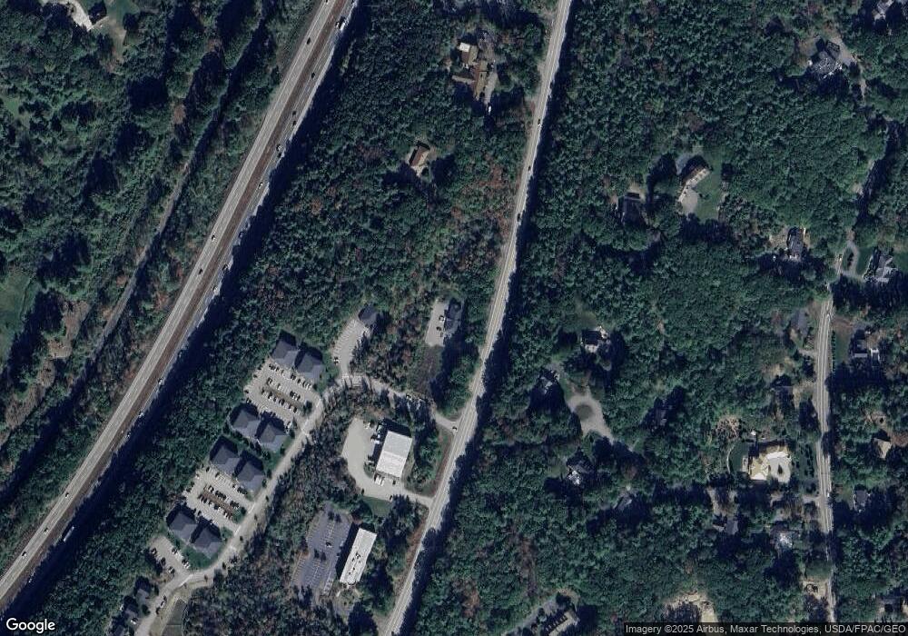
Map
Nearby Homes
- 186 Foreside Rd
- 15 Sea Cove Rd
- 59 Underwood Rd
- 30 Seaside Way Unit Lot 3
- 258 Foreside Rd
- 263 Foreside Rd
- 5 Harmony Way
- 78 Applegate Ln
- 11 Coastal Pines Lot 5
- Lot 8 Coastal Pines
- 90 Harris Lot 1 Rd
- 24 York Ledge Dr
- 54 Longwoods Rd
- Lot 3 Dunham Ln
- 39 Harris Rd
- Lot 2 Dunham Ln
- R03-54-4 Longwoods Rd
- 267 U S Route 1 Unit 308
- 267 U S Route 1 Unit 404
- 267 U S Route 1 Unit 306
- 72 Us Route 1
- 100 U S Route 1
- 100 U S 1 Unit 103
- 100 U S 1 Unit 211
- 100 U S 1 Unit 409
- 100 U S 1 Unit 306
- 100 U S 1 Unit 406
- 100 U S 1 Unit 105
- 100 U S 1 Unit 412
- 100 U S 1 Unit 311
- 100 U S 1 Unit 212
- 100 U S 1 Unit 206
- 100 U S 1 Unit 102
- 100 U S 1 Unit 411
- 100 U S 1 Unit 308
- 100 U S 1 Unit 404
- 100 U S 1 Unit 208
- 100 U S 1 Unit 205
- 100 U S 1 Unit 204
- 100 U S 1 Unit 408