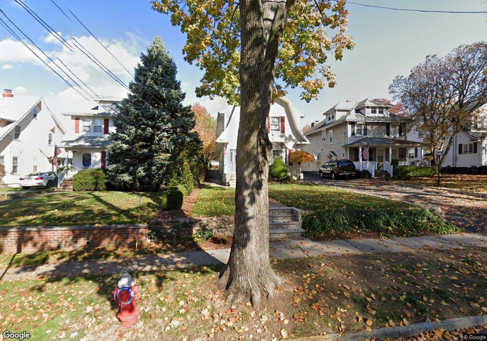
78 W Pierrepont Ave Rutherford, NJ 07070
Estimated Value: $786,000 - $1,132,000
--
Bed
--
Bath
2,224
Sq Ft
$417/Sq Ft
Est. Value
About This Home
This home is located at 78 W Pierrepont Ave, Rutherford, NJ 07070 and is currently estimated at $927,361, approximately $416 per square foot. 78 W Pierrepont Ave is a home located in Bergen County with nearby schools including Rutherford High School, Bergen Arts and Sciences Charter School, and St Clare Elementary School.
Ownership History
Date
Name
Owned For
Owner Type
Purchase Details
Closed on
Feb 1, 2002
Current Estimated Value
Purchase Details
Closed on
Jul 28, 1997
Sold by
Brower Marcella
Bought by
Valente Antonio T
Home Financials for this Owner
Home Financials are based on the most recent Mortgage that was taken out on this home.
Original Mortgage
$130,000
Interest Rate
7.38%
Create a Home Valuation Report for This Property
The Home Valuation Report is an in-depth analysis detailing your home's value as well as a comparison with similar homes in the area
Home Values in the Area
Average Home Value in this Area
Purchase History
| Date | Buyer | Sale Price | Title Company |
|---|---|---|---|
| -- | -- | -- | |
| Valente Antonio T | $210,000 | Journeyman Title Agency Inc |
Source: Public Records
Mortgage History
| Date | Status | Borrower | Loan Amount |
|---|---|---|---|
| Previous Owner | Valente Antonio T | $130,000 |
Source: Public Records
Tax History Compared to Growth
Tax History
| Year | Tax Paid | Tax Assessment Tax Assessment Total Assessment is a certain percentage of the fair market value that is determined by local assessors to be the total taxable value of land and additions on the property. | Land | Improvement |
|---|---|---|---|---|
| 2025 | $16,310 | $522,600 | $284,600 | $238,000 |
| 2024 | $15,897 | $522,600 | $284,600 | $238,000 |
| 2023 | $15,516 | $522,600 | $284,600 | $238,000 |
| 2022 | $15,516 | $522,600 | $284,600 | $238,000 |
| 2021 | $15,307 | $522,600 | $284,600 | $238,000 |
| 2020 | $14,899 | $522,600 | $284,600 | $238,000 |
| 2019 | $14,314 | $522,600 | $284,600 | $238,000 |
| 2018 | $14,115 | $522,600 | $284,600 | $238,000 |
| 2017 | $13,917 | $522,600 | $284,600 | $238,000 |
| 2016 | $13,609 | $522,600 | $284,600 | $238,000 |
| 2015 | $13,237 | $522,600 | $284,600 | $238,000 |
| 2014 | $12,825 | $522,600 | $284,600 | $238,000 |
Source: Public Records
Map
Nearby Homes
- 30 W Pierrepont Ave
- 334 Park Ave
- 173 W Newell Ave
- 33 W Newell Ave
- 15 E Pierrepont Ave
- 177 W Pierrepont Ave
- 11 W Gouverneur Ave
- 429 Riverside Ave
- 86 Wheaton Place
- 27 Donaldson Ave
- 65 E Gouverneur Ave
- 48 W Passaic Ave
- 118 Rutherford Ave
- 33 Delawanna Ave
- 27-39 Jackson
- 73 Addison Ave
- 222 Ridge Rd
- 400 River Oaks Dr
- 256 Jackson Ave
- 54 Stuyvesant Ave
- 74 W Pierrepont Ave
- 80 W Pierrepont Ave
- 72 W Pierrepont Ave
- 84 W Pierrepont Ave
- 70 W Pierrepont Ave
- 88 W Pierrepont Ave
- 399 Montross Ave
- 68 W Pierrepont Ave
- 105 Vreeland Ave
- 395 Montross Ave
- 99 Vreeland Ave
- 401 Montross Ave
- 405 Montross Ave
- 109 Vreeland Ave
- 411 Montross Ave
- 89 Vreeland Ave
- 115 Vreeland Ave
- 81 W Pierrepont Ave
- 87 W Pierrepont Ave
- 66 W Pierrepont Ave