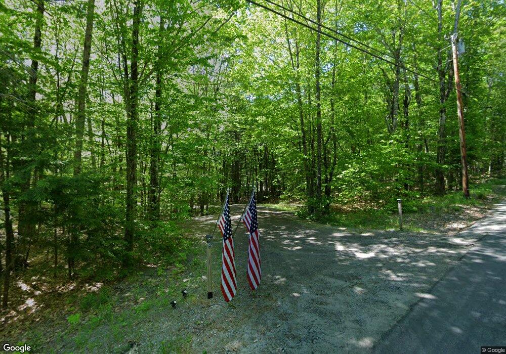
78 Whippoorwill Rd Litchfield, ME 04350
Estimated Value: $281,000 - $396,000
2
Beds
2
Baths
1,320
Sq Ft
$262/Sq Ft
Est. Value
About This Home
This home is located at 78 Whippoorwill Rd, Litchfield, ME 04350 and is currently estimated at $346,041, approximately $262 per square foot. 78 Whippoorwill Rd is a home located in Kennebec County with nearby schools including Libby-Tozier School, Sabattus Primary School, and Carrie Ricker School.
Ownership History
Date
Name
Owned For
Owner Type
Purchase Details
Closed on
Nov 6, 2007
Sold by
Diamond Richard H
Bought by
Roy Denise H and Roy Paul E
Current Estimated Value
Home Financials for this Owner
Home Financials are based on the most recent Mortgage that was taken out on this home.
Original Mortgage
$187,200
Interest Rate
6.43%
Mortgage Type
Purchase Money Mortgage
Create a Home Valuation Report for This Property
The Home Valuation Report is an in-depth analysis detailing your home's value as well as a comparison with similar homes in the area
Home Values in the Area
Average Home Value in this Area
Purchase History
| Date | Buyer | Sale Price | Title Company |
|---|---|---|---|
| Roy Denise H | -- | -- |
Source: Public Records
Mortgage History
| Date | Status | Borrower | Loan Amount |
|---|---|---|---|
| Open | Roy Denise H | $187,200 |
Source: Public Records
Tax History Compared to Growth
Tax History
| Year | Tax Paid | Tax Assessment Tax Assessment Total Assessment is a certain percentage of the fair market value that is determined by local assessors to be the total taxable value of land and additions on the property. | Land | Improvement |
|---|---|---|---|---|
| 2024 | $3,283 | $230,400 | $57,200 | $173,200 |
| 2023 | $3,110 | $230,400 | $57,200 | $173,200 |
| 2022 | $3,018 | $192,000 | $47,700 | $144,300 |
| 2021 | $2,713 | $192,000 | $47,700 | $144,300 |
| 2020 | $2,726 | $192,000 | $47,700 | $144,300 |
| 2019 | $2,688 | $192,000 | $47,700 | $144,300 |
| 2018 | $2,231 | $138,170 | $42,250 | $95,920 |
| 2017 | $2,235 | $138,382 | $42,250 | $96,132 |
| 2016 | $2,235 | $138,382 | $42,250 | $96,132 |
| 2015 | $2,154 | $138,499 | $42,250 | $96,249 |
| 2014 | $1,988 | $139,516 | $42,250 | $97,266 |
| 2013 | $1,717 | $139,633 | $42,250 | $97,383 |
Source: Public Records
Map
Nearby Homes
- 105 Whippoorwill Rd
- Lot 8D Hallowell Rd
- 47 Fickett Dr
- 13 Cove Dr
- 305 Peacepipe Dr
- 16 Maple Ridge Dr
- 151 Johnson Ln
- 2 Woods Rd
- 0 Route 9-126 Litchfield Dr Unit 1604469
- TBD 1st St
- 33-34 Gerber Ln
- 33 Gerber Ln
- 34 Gerber Ln
- 0 Rd Unit 1590643
- 7 Lintonia Dr Unit 7
- 18 Lintonia Dr Unit 17
- 1809 Lewiston Rd
- 998 Lewiston Rd
- 18 Huntington Hill Rd
- 69 Scott Dr
- 79 Whippoorwill Rd
- 84 Whippoorwill Rd
- 85 Whippoorwill Rd
- 75 Whippoorwill Rd
- 67 Whippoorwill Rd
- 7 Dragonfly Dr
- 11 Dragonfly Dr
- 71 Whippoorwill Rd
- 90 Whippoorwill Rd
- 91 Whippoorwill Rd
- 62 Whippoorwill Rd
- 61 Whippoorwill Rd
- 56 Whippoorwill Rd
- 45 Whippoorwill Rd
- 43 Whippoorwill Rd
- 46 Whippoorwill Rd
- 51 Kenway Dr
- 51 Kenway Drive Lot 3a
- 106 Whippoorwill Rd
- 114 Whippoorwill Rd