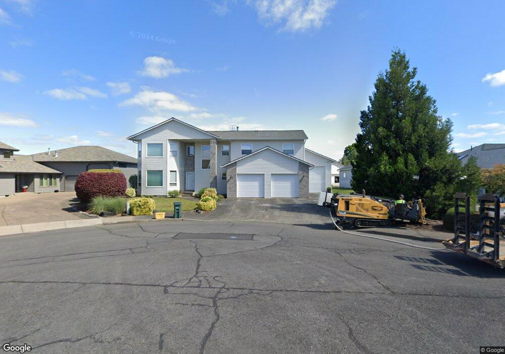
780 Airport Way Independence, OR 97351
Estimated Value: $682,627 - $742,000
2
Beds
3
Baths
2,642
Sq Ft
$269/Sq Ft
Est. Value
About This Home
This home is located at 780 Airport Way, Independence, OR 97351 and is currently estimated at $711,407, approximately $269 per square foot. 780 Airport Way is a home located in Polk County with nearby schools including Independence Elementary School, Talmadge Middle School, and Central High School.
Create a Home Valuation Report for This Property
The Home Valuation Report is an in-depth analysis detailing your home's value as well as a comparison with similar homes in the area
Home Values in the Area
Average Home Value in this Area
Tax History Compared to Growth
Tax History
| Year | Tax Paid | Tax Assessment Tax Assessment Total Assessment is a certain percentage of the fair market value that is determined by local assessors to be the total taxable value of land and additions on the property. | Land | Improvement |
|---|---|---|---|---|
| 2025 | $8,044 | $457,440 | $55,610 | $401,830 |
| 2024 | $8,044 | $444,120 | $53,990 | $390,130 |
| 2023 | $8,250 | $431,190 | $52,420 | $378,770 |
| 2022 | $7,574 | $418,640 | $50,890 | $367,750 |
| 2021 | $7,490 | $406,450 | $49,410 | $357,040 |
| 2020 | $7,294 | $394,620 | $47,970 | $346,650 |
| 2019 | $7,104 | $383,130 | $46,570 | $336,560 |
| 2018 | $6,811 | $371,980 | $45,210 | $326,770 |
| 2017 | $6,784 | $361,150 | $43,900 | $317,250 |
| 2016 | $6,714 | $344,250 | $98,000 | $246,250 |
| 2015 | $6,818 | $350,640 | $42,620 | $308,020 |
| 2014 | $6,609 | $340,080 | $112,600 | $227,480 |
Source: Public Records
Map
Nearby Homes
- 914 James St
- 941 Wild Rose Ct
- 8575 Hoffman Rd
- 215 Polk St
- 1026 Sassafras St
- 552 Log Cabin St
- 212 Picture St
- 1361 Marigold Dr
- 470 N Gun Club Rd
- 320 N Gun Club Rd
- 250 N Gun Club Rd
- 488 B St
- 1555 Adams St
- 544 C St
- 1220 Monmouth (Unit 12) St
- 389 C St
- 89 S Gun Club Rd
- 950 D St
- 144 S Main St
- 1135 Monmouth St