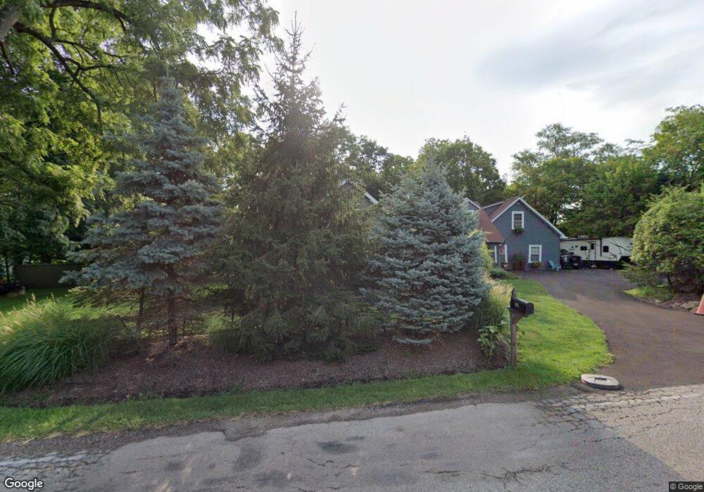
780 Cooper Rd Westerville, OH 43081
Estimated Value: $420,000 - $493,000
4
Beds
4
Baths
2,247
Sq Ft
$198/Sq Ft
Est. Value
About This Home
This home is located at 780 Cooper Rd, Westerville, OH 43081 and is currently estimated at $446,027, approximately $198 per square foot. 780 Cooper Rd is a home located in Franklin County with nearby schools including Pointview Elementary School, Genoa Middle School, and Westerville South High School.
Ownership History
Date
Name
Owned For
Owner Type
Purchase Details
Closed on
Dec 3, 2007
Sold by
Dunfee Andrew O
Bought by
Lancia Scott C and Nimon Shannon L
Current Estimated Value
Home Financials for this Owner
Home Financials are based on the most recent Mortgage that was taken out on this home.
Original Mortgage
$172,600
Outstanding Balance
$109,305
Interest Rate
6.31%
Mortgage Type
Purchase Money Mortgage
Estimated Equity
$336,722
Purchase Details
Closed on
Sep 9, 2003
Sold by
Bank One Na
Bought by
Dunfee Andrew O
Home Financials for this Owner
Home Financials are based on the most recent Mortgage that was taken out on this home.
Original Mortgage
$146,775
Interest Rate
4.87%
Mortgage Type
Purchase Money Mortgage
Purchase Details
Closed on
Jan 6, 2003
Sold by
Chakroff Richard P S and Chakroff Marilyn S
Bought by
The First National Bank Of Chicago and Bankboston Home Equity Loan Trust 1999-1
Purchase Details
Closed on
Jan 27, 1986
Bought by
Chakroff Richard P
Create a Home Valuation Report for This Property
The Home Valuation Report is an in-depth analysis detailing your home's value as well as a comparison with similar homes in the area
Home Values in the Area
Average Home Value in this Area
Purchase History
| Date | Buyer | Sale Price | Title Company |
|---|---|---|---|
| Lancia Scott C | $216,000 | Chicago Tit | |
| Dunfee Andrew O | $146,800 | Sovereign Title Agency Llc | |
| The First National Bank Of Chicago | -- | -- | |
| Chakroff Richard P | $96,000 | -- |
Source: Public Records
Mortgage History
| Date | Status | Borrower | Loan Amount |
|---|---|---|---|
| Open | Lancia Scott C | $172,600 | |
| Closed | Dunfee Andrew O | $146,775 |
Source: Public Records
Tax History Compared to Growth
Tax History
| Year | Tax Paid | Tax Assessment Tax Assessment Total Assessment is a certain percentage of the fair market value that is determined by local assessors to be the total taxable value of land and additions on the property. | Land | Improvement |
|---|---|---|---|---|
| 2024 | $9,750 | $115,190 | $19,850 | $95,340 |
| 2023 | $6,408 | $115,185 | $19,845 | $95,340 |
| 2022 | $8,558 | $117,470 | $16,560 | $100,910 |
| 2021 | $8,630 | $117,470 | $16,560 | $100,910 |
| 2020 | $8,606 | $117,470 | $16,560 | $100,910 |
| 2019 | $7,290 | $93,940 | $13,230 | $80,710 |
| 2018 | $6,528 | $93,940 | $13,230 | $80,710 |
| 2017 | $6,635 | $93,940 | $13,230 | $80,710 |
| 2016 | $6,101 | $72,770 | $14,250 | $58,520 |
| 2015 | $5,909 | $72,770 | $14,250 | $58,520 |
| 2014 | $5,913 | $72,770 | $14,250 | $58,520 |
| 2013 | $3,107 | $76,580 | $14,980 | $61,600 |
Source: Public Records
Map
Nearby Homes
- 0 Cooper Rd
- 465 W Schrock Rd
- 2700 Christine Blvd Unit A
- 2659 Christine Blvd Unit D
- 502 Foxtrail Cir E Unit 502
- 2540 Home Acre Dr Unit 38
- 6125 Pelican Pointe Unit 304
- 247 Foxtrail Place
- 2817 Bella Via Ave
- 25 King Arthur Blvd
- 3048 Highcliff Ct
- 3038 Highcliff Ct
- 3054 Highcliff Ct Unit 3054
- 3072 Highcliff Ct Unit 3072
- 3070 Highcliff Ct Unit 3070
- 3001 Cooper Bluff Dr Unit 3001
- 470 S State St
- 466 S State St
- 476 S State St
- 66 Daleview Dr
- 770 Cooper Rd
- 6981 Cooper Rd
- 6963 Cooper Rd
- 6609 Cooper Meadows Rd
- 2878 Shady Ridge Dr
- 2867 Cooper Ridge Rd
- 6587 Cooper Meadows Rd
- 2871 Shady Ridge Dr
- 6585 Cooper Meadows Rd
- 2870 Shady Ridge Dr
- 6581 Cooper Meadows Rd
- 6905 Cooper Rd
- 6903 Cooper Rd
- 2855 Cooper Ridge Rd
- 6917 Cooper Rd
- 740 Cooper Rd
- 2854 Shady Ridge Dr
- 6590 Hawksway Ct Unit 592
- 7071 Cooper Rd
- 7077 Cooper Rd