780 Lake Winnemaug Rd Watertown, CT 06795
Estimated Value: $644,125 - $701,000
3
Beds
3
Baths
3,216
Sq Ft
$213/Sq Ft
Est. Value
About This Home
This home is located at 780 Lake Winnemaug Rd, Watertown, CT 06795 and is currently estimated at $684,531, approximately $212 per square foot. 780 Lake Winnemaug Rd is a home located in Litchfield County with nearby schools including John Trumbull Primary School, Swift Middle School, and Watertown High School.
Ownership History
Date
Name
Owned For
Owner Type
Purchase Details
Closed on
Mar 2, 1990
Sold by
Jacaruso Francis P
Bought by
Mccarthy Joseph A
Current Estimated Value
Create a Home Valuation Report for This Property
The Home Valuation Report is an in-depth analysis detailing your home's value as well as a comparison with similar homes in the area
Home Values in the Area
Average Home Value in this Area
Purchase History
| Date | Buyer | Sale Price | Title Company |
|---|---|---|---|
| Mccarthy Joseph A | $275,162 | -- |
Source: Public Records
Mortgage History
| Date | Status | Borrower | Loan Amount |
|---|---|---|---|
| Open | Mccarthy Joseph A | $165,350 | |
| Closed | Mccarthy Joseph A | $271,700 | |
| Closed | Mccarthy Joseph A | $279,000 | |
| Closed | Mccarthy Joseph A | $256,700 |
Source: Public Records
Tax History Compared to Growth
Tax History
| Year | Tax Paid | Tax Assessment Tax Assessment Total Assessment is a certain percentage of the fair market value that is determined by local assessors to be the total taxable value of land and additions on the property. | Land | Improvement |
|---|---|---|---|---|
| 2025 | $11,242 | $374,220 | $68,180 | $306,040 |
| 2024 | $10,617 | $374,220 | $68,180 | $306,040 |
| 2023 | $10,630 | $288,400 | $67,200 | $221,200 |
| 2022 | $10,077 | $288,400 | $67,200 | $221,200 |
| 2021 | $9,967 | $288,400 | $67,200 | $221,200 |
| 2020 | $9,572 | $288,400 | $67,200 | $221,200 |
| 2019 | $9,572 | $288,400 | $67,200 | $221,200 |
| 2018 | $8,784 | $261,500 | $69,200 | $192,300 |
| 2017 | $8,337 | $261,500 | $69,200 | $192,300 |
| 2016 | $8,078 | $261,500 | $69,200 | $192,300 |
| 2015 | $7,871 | $261,500 | $69,200 | $192,300 |
| 2014 | $7,615 | $261,500 | $69,200 | $192,300 |
Source: Public Records
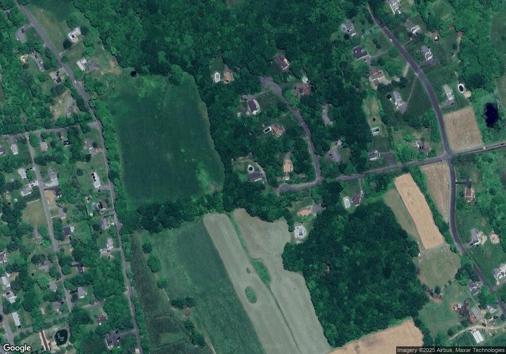
Map
Nearby Homes
- 10 Lake Rd
- 432 Quassapaug Rd
- 31 McVeigh Rd
- 781 Hamilton Ave
- 1461 Bunker Hill Rd
- 90 Rowley Rd
- 437 Middle Road Turnpike
- LOT#9 Wolf Hill Rd
- 237 Concord Dr
- 109 Cannon Ridge Dr
- 393 Middle Road Turnpike
- 29 Cannon Ridge Dr
- 94 Old Town Farm Rd
- 38 Barnhill Rd
- 0 Main St N Unit 24072824
- 245 Cherry Ave Unit I15
- 245 Cherry Ave Unit C13
- 7 Circuit Ave
- 200 N Farm Rd
- 37 Loop Rd
- 39 Fox Run Rd
- 15 Fox Run Rd
- 57 Fox Run Rd
- 755 Lake Winnemaug Rd
- 14 Fox Run Rd
- 75 Fox Run Rd
- 34 Fox Run Rd
- 50 Fox Run Rd
- 731 Lake Winnemaug Rd
- 70 Fox Run Rd
- 708 Lake Winnemaug Rd
- 368 Quassapaug Rd
- 362 Quassapaug Rd
- 378 Quassapaug Rd
- 372 Quassapaug Rd
- 354 Quassapaug Rd
- 268 Farmdale Rd
- 252 Farmdale Rd
- 684 Lake Winnemaug Rd
- 220 Farmdale Rd