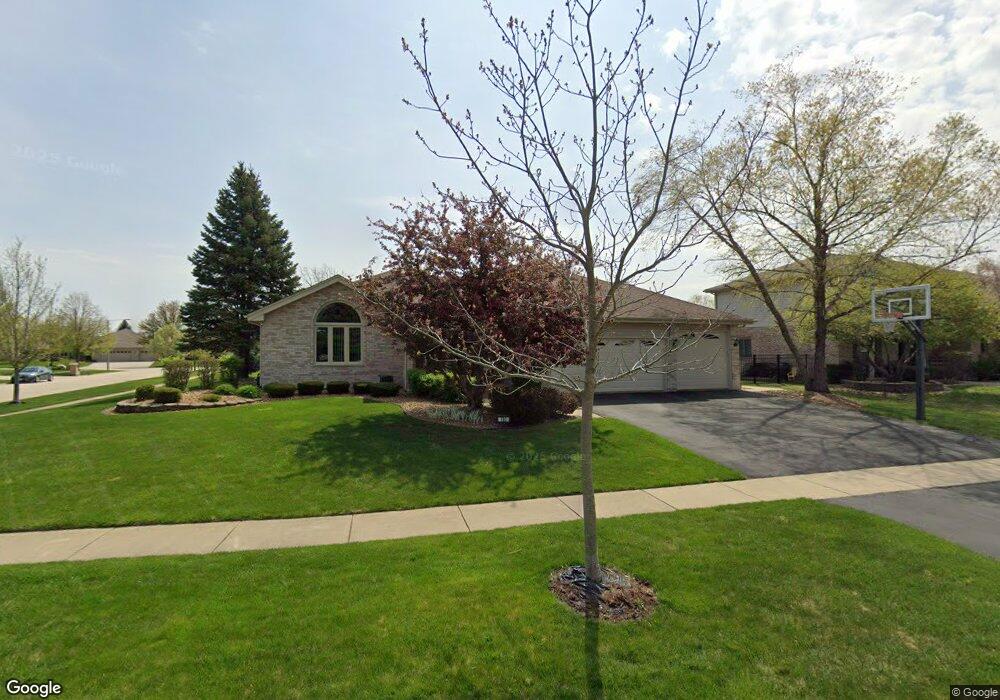
780 Laurel Bay New Lenox, IL 60451
Estimated Value: $497,433 - $542,000
Studio
--
Bath
--
Sq Ft
15,246
Sq Ft Lot
About This Home
This home is located at 780 Laurel Bay, New Lenox, IL 60451 and is currently estimated at $518,858. 780 Laurel Bay is a home located in Will County with nearby schools including Spencer Trail, Spencer Pointe, and Spencer Crossing Intermediate School.
Ownership History
Date
Name
Owned For
Owner Type
Purchase Details
Closed on
Nov 3, 2024
Sold by
Dermody Thomas E and Dermody Laura L
Bought by
Thomas And Laura Dermody Family Revocable Tru and Dermody
Current Estimated Value
Purchase Details
Closed on
Apr 12, 2002
Sold by
Marquette Bank
Bought by
Dermody Thomas E and Dermody Laura L
Home Financials for this Owner
Home Financials are based on the most recent Mortgage that was taken out on this home.
Original Mortgage
$220,000
Interest Rate
7.16%
Create a Home Valuation Report for This Property
The Home Valuation Report is an in-depth analysis detailing your home's value as well as a comparison with similar homes in the area
Home Values in the Area
Average Home Value in this Area
Purchase History
| Date | Buyer | Sale Price | Title Company |
|---|---|---|---|
| Thomas And Laura Dermody Family Revocable Tru | -- | None Listed On Document | |
| Dermody Thomas E | $238,000 | First American Title |
Source: Public Records
Mortgage History
| Date | Status | Borrower | Loan Amount |
|---|---|---|---|
| Previous Owner | Dermody Thomas E | $220,000 |
Source: Public Records
Tax History
| Year | Tax Paid | Tax Assessment Tax Assessment Total Assessment is a certain percentage of the fair market value that is determined by local assessors to be the total taxable value of land and additions on the property. | Land | Improvement |
|---|---|---|---|---|
| 2024 | $10,801 | $149,094 | $36,393 | $112,701 |
| 2023 | $10,801 | $135,911 | $33,175 | $102,736 |
| 2022 | $10,314 | $125,206 | $30,562 | $94,644 |
| 2021 | $9,794 | $117,753 | $28,743 | $89,010 |
| 2020 | $9,517 | $113,551 | $27,717 | $85,834 |
| 2019 | $9,110 | $110,030 | $26,858 | $83,172 |
| 2018 | $8,901 | $106,237 | $25,932 | $80,305 |
| 2017 | $8,459 | $103,182 | $25,186 | $77,996 |
| 2016 | $8,212 | $100,421 | $24,512 | $75,909 |
| 2015 | $7,952 | $97,260 | $23,740 | $73,520 |
| 2014 | $7,952 | $96,059 | $23,447 | $72,612 |
| 2013 | $7,952 | $97,354 | $23,763 | $73,591 |
Source: Public Records
Map
Nearby Homes
- 2931 Northwind Dr
- 2757 Genoa Dr
- 21334 Sage Brush Ln
- 21170 Sage Brush Ln
- 732 Teal Dr Unit 1
- 21647 S Owens Rd
- 2402 Bluestone Bay Dr
- 320 Garfield Ave
- 1587 Glenbrooke Ln
- 1583 Glenbrooke Ln
- 1564 Glenbrooke Ln Unit 2
- 1558 Glenbrooke Ln
- 1750 Orchard Ln
- 1738 Orchard Ln
- 21632 Wolf Rd
- Bldg. 58 Glenbrooke Ln Unit 2
- 1535 Glenbrooke Ln
- 11140 Lincoln Hwy
- 1956 Cornell Dr
- 1351 E Lincoln Hwy
- 790 Laurel Bay
- 781 Eastwind Dr
- 800 Laurel Bay
- 2917 Gannet Ln Unit 5
- 2901 Gannet Ln
- 2890 Gannet Ln
- 783 Laurel Bay
- 799 Eastwind Dr
- 2933 Gannet Ln
- 2891 Gannet Ln
- 806 Laurel Bay Unit 5
- 791 Laurel Bay Unit 5
- 797 Laurel Bay
- 2880 Gannet Ln
- 807 Eastwind Dr
- 2881 Gannet Ln
- 2924 Northwind Dr
- 803 Laurel Bay
- 812 Laurel Bay
- 2908 Northwind Dr
Your Personal Tour Guide
Ask me questions while you tour the home.