Estimated Value: $516,000 - $552,000
3
Beds
3
Baths
2,718
Sq Ft
$194/Sq Ft
Est. Value
About This Home
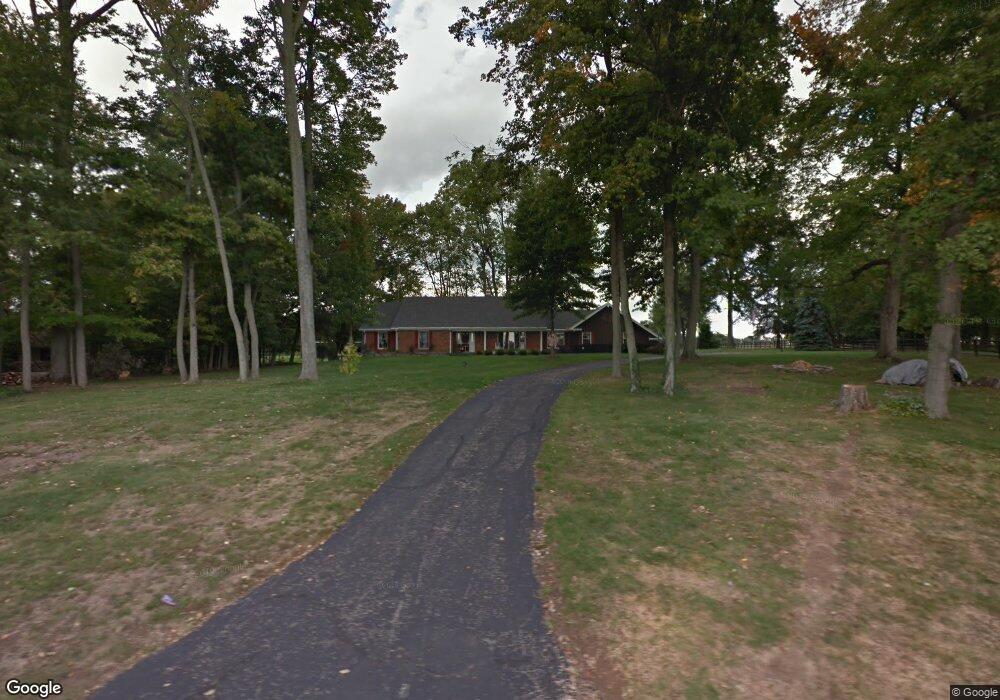
This home is located at 780 Richland Rd, Xenia, OH 45385 and is currently estimated at $528,529, approximately $194 per square foot. 780 Richland Rd is a home located in Greene County with nearby schools including Xenia High School.
Ownership History
Date
Name
Owned For
Owner Type
Purchase Details
Closed on
Jul 16, 2024
Sold by
Spitz Lois J and Spitz Robert M
Bought by
Robert M Spitz Revocable Living Trust and Spitz
Current Estimated Value
Purchase Details
Closed on
Jun 8, 2017
Sold by
Spitz Robert M and Spitz Lois J
Bought by
Spitz Robert M and Spitz Lois J
Purchase Details
Closed on
Oct 17, 2008
Sold by
Spitz Robert M and Spitz Lois J
Bought by
Spitz Robert M and Spitz Lois J
Create a Home Valuation Report for This Property
The Home Valuation Report is an in-depth analysis detailing your home's value as well as a comparison with similar homes in the area
Home Values in the Area
Average Home Value in this Area
Purchase History
| Date | Buyer | Sale Price | Title Company |
|---|---|---|---|
| Robert M Spitz Revocable Living Trust | -- | None Listed On Document | |
| Spitz Lois J | -- | None Listed On Document | |
| Spitz Robert M | -- | None Available | |
| Spitz Robert M | -- | Attorney |
Source: Public Records
Tax History Compared to Growth
Tax History
| Year | Tax Paid | Tax Assessment Tax Assessment Total Assessment is a certain percentage of the fair market value that is determined by local assessors to be the total taxable value of land and additions on the property. | Land | Improvement |
|---|---|---|---|---|
| 2024 | $7,080 | $139,000 | $29,860 | $109,140 |
| 2023 | $7,080 | $139,000 | $29,860 | $109,140 |
| 2022 | $6,330 | $107,310 | $27,990 | $79,320 |
| 2021 | $6,405 | $107,310 | $27,990 | $79,320 |
| 2020 | $5,880 | $107,310 | $27,990 | $79,320 |
| 2019 | $5,288 | $90,460 | $23,710 | $66,750 |
| 2018 | $5,217 | $90,460 | $23,710 | $66,750 |
| 2017 | $4,894 | $90,460 | $23,710 | $66,750 |
| 2016 | $4,895 | $86,620 | $23,010 | $63,610 |
| 2015 | $4,908 | $86,620 | $23,010 | $63,610 |
| 2014 | $4,712 | $86,620 | $23,010 | $63,610 |
Source: Public Records
Map
Nearby Homes
- 1068 Hedges Rd
- Chatham Plan at Edenbridge
- Bellamy Plan at Edenbridge
- Holcombe Plan at Edenbridge
- Henley Plan at Edenbridge
- Newcastle Plan at Edenbridge
- 920 Wright Cycle Blvd
- 926 Wright Cycle Blvd
- 2102 High Wheel Dr
- 2821 Raxit Ct
- 1474 Hawkshead St
- 2852 Raxit Ct
- 2144 Tandem Dr
- 196 Mound St
- 2784 Greystoke Dr
- 1292 Baybury Ave
- 1272 Baybury Ave
- 1282 Baybury Ave
- 1293 Baybury Ave
- 2540 Cornwall Dr
- 800 Richland Rd
- 820 Richland Rd
- 779 Richland Rd
- 727 Richland Rd
- 828 Richland Rd
- 845 Richland Rd
- 695 Richland Rd
- 700 Richland Rd
- 620 Richland Rd
- 610 Richland Rd
- 940 Richland Rd
- 600 Richland Rd
- 968 Richland Rd
- 550 Richland Rd
- 5 Ac Richland Rd
- 542 Richland Rd
- 542 Richland Rd
- 1100 Richland Rd
- 2240 Elam Rd
- 1083 Richland Rd