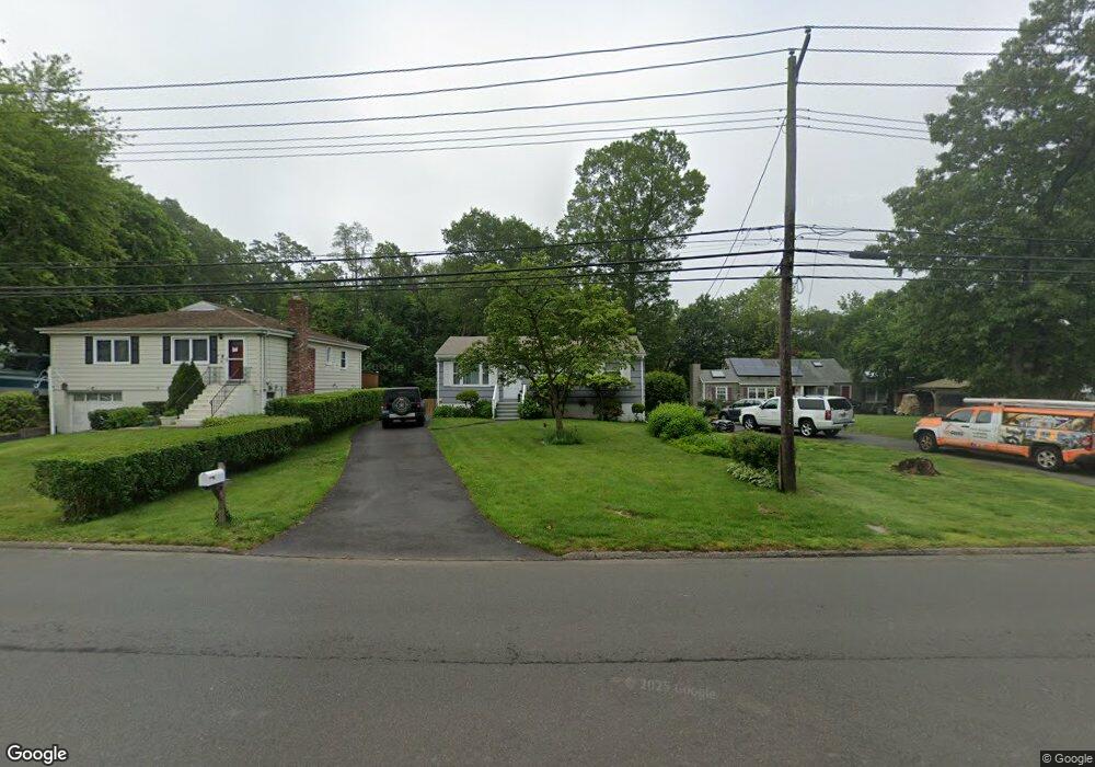
780 W Main St West Haven, CT 06516
West Shore NeighborhoodEstimated Value: $316,000 - $363,000
3
Beds
1
Bath
975
Sq Ft
$347/Sq Ft
Est. Value
About This Home
This home is located at 780 W Main St, West Haven, CT 06516 and is currently estimated at $338,086, approximately $346 per square foot. 780 W Main St is a home located in New Haven County with nearby schools including Carrigan 5/6 Intermediate School, Harry M. Bailey Middle School, and West Haven High School.
Ownership History
Date
Name
Owned For
Owner Type
Purchase Details
Closed on
Aug 18, 2016
Sold by
Aungst 3Rd Charles N
Bought by
Brownstein Amy E
Current Estimated Value
Home Financials for this Owner
Home Financials are based on the most recent Mortgage that was taken out on this home.
Original Mortgage
$93,000
Outstanding Balance
$42,547
Interest Rate
3.48%
Mortgage Type
Stand Alone Refi Refinance Of Original Loan
Estimated Equity
$295,539
Purchase Details
Closed on
Feb 24, 2006
Sold by
Mcguire George and Mcguire Rose
Bought by
Aungst 3Rd Charles N and Brownsteith Amy E
Home Financials for this Owner
Home Financials are based on the most recent Mortgage that was taken out on this home.
Original Mortgage
$163,200
Interest Rate
6.17%
Mortgage Type
Purchase Money Mortgage
Create a Home Valuation Report for This Property
The Home Valuation Report is an in-depth analysis detailing your home's value as well as a comparison with similar homes in the area
Home Values in the Area
Average Home Value in this Area
Purchase History
| Date | Buyer | Sale Price | Title Company |
|---|---|---|---|
| Brownstein Amy E | -- | -- | |
| Aungst 3Rd Charles N | $204,000 | -- | |
| Brownstein Amy E | -- | -- | |
| Aungst 3Rd Charles N | $204,000 | -- |
Source: Public Records
Mortgage History
| Date | Status | Borrower | Loan Amount |
|---|---|---|---|
| Open | Aungst 3Rd Charles N | $93,000 | |
| Previous Owner | Aungst 3Rd Charles N | $163,200 |
Source: Public Records
Tax History Compared to Growth
Tax History
| Year | Tax Paid | Tax Assessment Tax Assessment Total Assessment is a certain percentage of the fair market value that is determined by local assessors to be the total taxable value of land and additions on the property. | Land | Improvement |
|---|---|---|---|---|
| 2025 | $6,865 | $198,800 | $71,050 | $127,750 |
| 2024 | $5,747 | $118,440 | $49,210 | $69,230 |
| 2023 | $5,509 | $118,440 | $49,210 | $69,230 |
| 2022 | $5,401 | $118,440 | $49,210 | $69,230 |
| 2021 | $5,401 | $118,440 | $49,210 | $69,230 |
| 2020 | $5,441 | $107,800 | $45,010 | $62,790 |
| 2019 | $5,247 | $107,800 | $45,010 | $62,790 |
| 2018 | $5,201 | $107,800 | $45,010 | $62,790 |
| 2017 | $4,922 | $107,800 | $45,010 | $62,790 |
| 2016 | $4,911 | $107,800 | $45,010 | $62,790 |
| 2015 | $4,971 | $123,200 | $49,910 | $73,290 |
| 2014 | $4,940 | $123,200 | $49,910 | $73,290 |
Source: Public Records
Map
Nearby Homes
- 798 W Main St
- 144 Hilltop Ln
- 26 Lawncrest Rd
- 80 Phipps Dr
- 56 Edward St
- 52 Saw Mill Rd
- 166 Saw Mill Rd
- 79 Claudia Dr Unit 256
- 79 Claudia Dr Unit 354
- 79 Claudia Dr Unit 358
- 105 Pheasant Rd
- 79 Linden St
- 74 Linden St
- 387 W Spring St
- 105 Church St
- 96 Collis St
- 109 Parker Ave E
- 17 Ellyn Ct
- 12 Linda St
- 481 Savin Ave