7801 Pocklington Rd Britton, MI 49229
Estimated Value: $243,000 - $294,196
3
Beds
1
Bath
2,020
Sq Ft
$133/Sq Ft
Est. Value
About This Home
This home is located at 7801 Pocklington Rd, Britton, MI 49229 and is currently estimated at $268,598, approximately $132 per square foot. 7801 Pocklington Rd is a home located in Lenawee County with nearby schools including Britton-Macon Area School.
Ownership History
Date
Name
Owned For
Owner Type
Purchase Details
Closed on
Sep 11, 2020
Sold by
Waldrup Stanley O
Bought by
Stanly Olen Waldrup Ret
Current Estimated Value
Purchase Details
Closed on
Jan 15, 2008
Sold by
Waldrup Elaine and Parson Elaine
Bought by
Waldrup Stanley
Purchase Details
Closed on
Feb 1, 2007
Sold by
Waldrup Stanley and Parson Elaine
Bought by
Waldrup Stanley
Home Financials for this Owner
Home Financials are based on the most recent Mortgage that was taken out on this home.
Original Mortgage
$42,344
Interest Rate
6.27%
Mortgage Type
Unknown
Create a Home Valuation Report for This Property
The Home Valuation Report is an in-depth analysis detailing your home's value as well as a comparison with similar homes in the area
Home Values in the Area
Average Home Value in this Area
Purchase History
| Date | Buyer | Sale Price | Title Company |
|---|---|---|---|
| Stanly Olen Waldrup Ret | -- | None Available | |
| Waldrup Stanley | -- | None Available | |
| Waldrup Stanley | -- | None Available |
Source: Public Records
Mortgage History
| Date | Status | Borrower | Loan Amount |
|---|---|---|---|
| Previous Owner | Waldrup Stanley | $42,344 |
Source: Public Records
Tax History Compared to Growth
Tax History
| Year | Tax Paid | Tax Assessment Tax Assessment Total Assessment is a certain percentage of the fair market value that is determined by local assessors to be the total taxable value of land and additions on the property. | Land | Improvement |
|---|---|---|---|---|
| 2025 | $2,584 | $115,700 | $0 | $0 |
| 2024 | $974 | $116,700 | $0 | $0 |
| 2023 | $2,156 | $108,900 | $0 | $0 |
| 2022 | $855 | $98,900 | $0 | $0 |
| 2021 | $2,325 | $95,000 | $0 | $0 |
| 2020 | $2,310 | $85,900 | $0 | $0 |
| 2019 | $204,086 | $72,700 | $0 | $0 |
| 2018 | $2,233 | $72,714 | $0 | $0 |
| 2017 | $2,152 | $70,379 | $0 | $0 |
| 2016 | $2,018 | $68,632 | $0 | $0 |
| 2014 | -- | $66,077 | $0 | $0 |
Source: Public Records
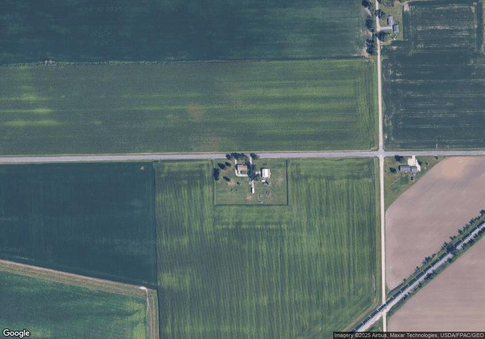
Map
Nearby Homes
- 4796 Waynick Dr
- 7957 E Monroe Rd
- 8631 Holloway Rd
- 257 W Chicago Blvd
- 134 College Ave
- 330 N Main St
- 298 E Chicago Blvd
- 379 N Main St
- 798 War Bonnet Dr
- 796 War Bonnet Dr
- 797 War Bonnet Dr
- 799 War Bonnet Dr
- 3125 N Rogers Hwy
- 9485 Garno Rd
- 700 E Russell Rd
- 6392 Mitchell Rd
- 10603 Milwaukee Rd
- 3198 Leeomi Dr
- 6 Wheatland Dr
- Lot 9 Crestone
- 7587 Pocklington Rd
- 8035 Pocklington Rd
- 5161 N Blissfield Hwy
- 4600 N Blissfield Hwy
- 5462 Ridge Hwy
- 7751 Dibble Rd
- 7751 Dibble Rd Unit DIBBLE RD
- 5000 Ridge Hwy Unit BLK
- 7707 Dibble Rd
- 4968 Ridge Hwy
- 7070 Pocklington Rd
- 5572 Ridge Hwy
- 4380 N Blissfield Hwy
- 4475 N Blissfield Hwy
- 5685 Ridge Hwy
- 5684 Ridge Hwy
- 8233 Dibble Rd
- 5458 Ridge Hwy
- 8407 Pocklington Rd
- 8347 Dibble Rd Unit Bldg-Unit