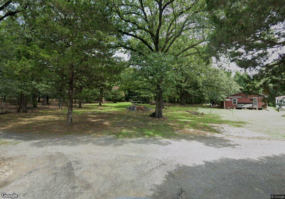
7802 Autry Rd North Little Rock, AR 72113
Estimated Value: $18,618 - $61,000
--
Bed
1
Bath
2,464
Sq Ft
$16/Sq Ft
Est. Value
About This Home
This home is located at 7802 Autry Rd, North Little Rock, AR 72113 and is currently estimated at $39,809, approximately $16 per square foot. 7802 Autry Rd is a home located in Pulaski County with nearby schools including Oak Grove Elementary School, Maumelle Middle School, and Maumelle High School.
Ownership History
Date
Name
Owned For
Owner Type
Purchase Details
Closed on
Mar 19, 2018
Sold by
Rylwell Llc
Bought by
Martin Larry and Martin Clara
Current Estimated Value
Purchase Details
Closed on
Oct 28, 2009
Sold by
Pulaski Lands Llc
Bought by
Rylwell Llc
Purchase Details
Closed on
Jan 7, 2009
Sold by
Autry Orville
Bought by
Rylwell Llc
Purchase Details
Closed on
Feb 23, 2005
Sold by
Gilbert Rita Kay
Bought by
Pulaski Lands Llc
Purchase Details
Closed on
May 27, 2004
Sold by
Wilcox Mark
Bought by
Rylwell Llc
Create a Home Valuation Report for This Property
The Home Valuation Report is an in-depth analysis detailing your home's value as well as a comparison with similar homes in the area
Home Values in the Area
Average Home Value in this Area
Purchase History
| Date | Buyer | Sale Price | Title Company |
|---|---|---|---|
| Martin Larry | $12,000 | None Available | |
| Rylwell Llc | -- | None Available | |
| Rylwell Llc | -- | None Available | |
| Pulaski Lands Llc | -- | -- | |
| Rylwell Llc | $111 | -- |
Source: Public Records
Tax History Compared to Growth
Tax History
| Year | Tax Paid | Tax Assessment Tax Assessment Total Assessment is a certain percentage of the fair market value that is determined by local assessors to be the total taxable value of land and additions on the property. | Land | Improvement |
|---|---|---|---|---|
| 2025 | $44 | $863 | $840 | $23 |
| 2024 | $44 | $863 | $840 | $23 |
| 2023 | $44 | $863 | $840 | $23 |
| 2022 | $44 | $863 | $840 | $23 |
| 2021 | $43 | $840 | $270 | $570 |
| 2020 | $43 | $840 | $270 | $570 |
| 2019 | $43 | $840 | $270 | $570 |
| 2018 | $43 | $840 | $270 | $570 |
| 2017 | $43 | $840 | $270 | $570 |
| 2016 | $500 | $2,060 | $560 | $1,500 |
| 2015 | $105 | $2,060 | $560 | $1,500 |
| 2014 | $105 | $2,060 | $560 | $1,500 |
Source: Public Records
Map
Nearby Homes
- 00 Interstate 40
- 11806 Veronica Rd
- 71 Corniche Cove
- 62 Lucia Ln
- 70 Corniche Cove
- 69 Corniche Cove
- 105 Corniche Ln
- 121 Natural Trail
- 123 Natural Trail
- 1501 Milligan Dr
- 520 Corondelet Ln
- 516 Corondelet Ln
- 514 Corondelet Ln
- 603 Corondelet Ln
- 320 Devoe Bend Dr
- Lot 4 Devoe Bend Dr
- 7 Tm Fly Way
- 307 Devoe Bend Dr
- 102 Shagbark Trail
- 210 Shagbark Trail
- 7800 Autry Rd
- 7901 Autry Rd
- 7913 Autry Rd
- 3.83 Acres Autry Rd
- 11325 Marche Rd
- 0 Autry Rd
- 10900 Short Marche Rd
- 11017 Marche Rd
- 11000 Short Marche Rd
- 10812 Short Marche Rd
- 11417 Marche Rd
- 11006 Short Marche Rd
- 10819 Marche Rd
- 10815 Marche Rd
- 10700 Short Marche Rd
- 10909 Short Marche Rd
- 11300 Marche Rd
- 10815 Short Marche Rd
- 10809 Short Marche Rd
- 11011 Short Marche Rd