7802 Bates Rd Jefferson City, MO 65109
Estimated Value: $221,522 - $389,000
3
Beds
2
Baths
1,835
Sq Ft
$147/Sq Ft
Est. Value
About This Home
This home is located at 7802 Bates Rd, Jefferson City, MO 65109 and is currently estimated at $269,131, approximately $146 per square foot. 7802 Bates Rd is a home located in Cole County with nearby schools including Cole R-1 Elementary School, Cole R-1 Middle School, and Russellville High School.
Ownership History
Date
Name
Owned For
Owner Type
Purchase Details
Closed on
Feb 2, 2021
Sold by
Barnhart Melissa and Barnhart Michael
Bought by
Barnhart Michael
Current Estimated Value
Purchase Details
Closed on
Aug 17, 2017
Sold by
Virginia O Taylor Irt
Bought by
Barnhart Michael W and Barnhart Melissa
Home Financials for this Owner
Home Financials are based on the most recent Mortgage that was taken out on this home.
Original Mortgage
$103,098
Interest Rate
3.96%
Mortgage Type
FHA
Create a Home Valuation Report for This Property
The Home Valuation Report is an in-depth analysis detailing your home's value as well as a comparison with similar homes in the area
Home Values in the Area
Average Home Value in this Area
Purchase History
| Date | Buyer | Sale Price | Title Company |
|---|---|---|---|
| Barnhart Michael | -- | None Available | |
| Barnhart Michael W | -- | -- |
Source: Public Records
Mortgage History
| Date | Status | Borrower | Loan Amount |
|---|---|---|---|
| Previous Owner | Barnhart Michael W | $103,098 |
Source: Public Records
Tax History Compared to Growth
Tax History
| Year | Tax Paid | Tax Assessment Tax Assessment Total Assessment is a certain percentage of the fair market value that is determined by local assessors to be the total taxable value of land and additions on the property. | Land | Improvement |
|---|---|---|---|---|
| 2025 | $1,001 | $17,990 | $3,330 | $14,660 |
| 2024 | $1,001 | $17,990 | $3,330 | $14,660 |
| 2023 | $879 | $17,990 | $3,330 | $14,660 |
| 2022 | $834 | $17,160 | $0 | $17,160 |
| 2021 | $833 | $17,160 | $0 | $17,160 |
| 2020 | $835 | $25,631 | $3,325 | $22,306 |
| 2019 | $838 | $21,812 | $3,325 | $18,487 |
| 2018 | $785 | $21,299 | $3,325 | $17,974 |
| 2017 | $787 | $17,157 | $3,325 | $13,832 |
| 2016 | -- | $17,157 | $3,325 | $13,832 |
| 2015 | $798 | $0 | $0 | $0 |
| 2014 | $798 | $17,157 | $3,325 | $13,832 |
Source: Public Records
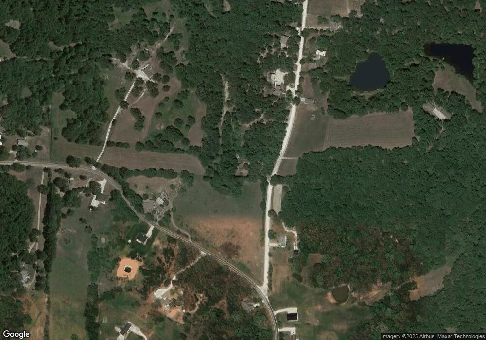
Map
Nearby Homes
- 4200 Windy Hill Dr
- 4112 Pin Oak Dr
- 9412 Pleasant Hill Rd
- 0 Heritage Hwy
- 9635 Tanner Bridge Rd
- 5623 Heritage Hwy
- LOT 13 Henley Estates
- LOT 12 Henley Estates
- LOT 11 Henley Estates
- LOT 10 Henley Estates
- LOT 1 Henley Estates
- LOT 9 Henley Estates
- 6262 Stringtown Rd
- 5611 Hemstreet Rd
- 3936 Dewberry Dr
- 3022 Rumsey Ln
- 2829 Foxdale Dr
- 2704 Covey Ln
- 620 Whispering Cedars Ln
- 613 Whispering Cedars Ln