7802 N Hill Rd Marengo, IL 60152
Estimated Value: $387,519 - $521,000
3
Beds
--
Bath
2,025
Sq Ft
$227/Sq Ft
Est. Value
About This Home
This home is located at 7802 N Hill Rd, Marengo, IL 60152 and is currently estimated at $459,130, approximately $226 per square foot. 7802 N Hill Rd is a home located in McHenry County with nearby schools including Riley Community Consolidated School District 18, Marengo Community High School, and Zion Lutheran School.
Ownership History
Date
Name
Owned For
Owner Type
Purchase Details
Closed on
Dec 16, 2005
Sold by
Desimone Rosina
Bought by
American Bank & Trust Co
Current Estimated Value
Create a Home Valuation Report for This Property
The Home Valuation Report is an in-depth analysis detailing your home's value as well as a comparison with similar homes in the area
Home Values in the Area
Average Home Value in this Area
Purchase History
| Date | Buyer | Sale Price | Title Company |
|---|---|---|---|
| American Bank & Trust Co | -- | None Available |
Source: Public Records
Tax History
| Year | Tax Paid | Tax Assessment Tax Assessment Total Assessment is a certain percentage of the fair market value that is determined by local assessors to be the total taxable value of land and additions on the property. | Land | Improvement |
|---|---|---|---|---|
| 2024 | $6,131 | $115,037 | $11,020 | $104,017 |
| 2023 | $8,037 | $109,067 | $9,820 | $99,247 |
| 2022 | $7,987 | $100,006 | $9,004 | $91,002 |
| 2021 | $5,707 | $92,658 | $8,342 | $84,316 |
| 2020 | $7,541 | $87,595 | $7,886 | $79,709 |
| 2019 | $8,058 | $83,839 | $7,548 | $76,291 |
| 2018 | $7,703 | $80,896 | $5,806 | $75,090 |
| 2017 | $7,584 | $78,198 | $5,612 | $72,586 |
| 2016 | $7,518 | $75,219 | $5,398 | $69,821 |
| 2013 | -- | $64,688 | $20,201 | $44,487 |
Source: Public Records
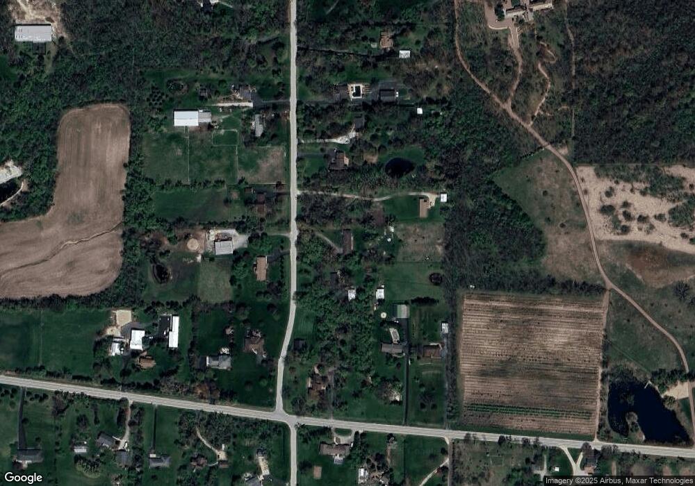
Map
Nearby Homes
- 8106 Maple St
- 8808 S Hill Rd
- 915 Courtney Ln
- 0 Ratfield Rd
- 955 Riverdale Ct
- 870 Mildred Dr
- 0 S Grant Hwy
- 18708 Beck Rd
- 19923 E Grant Hwy
- 18817 W Union Rd
- 5 Lindow Ave
- 8 Lindow Ave
- 6 Lindow Ave
- 1006 Ruth Ct
- 737 E Grant Hwy
- 0 Maple St
- 836 Oak Manor Dr
- 214 S Prospect St
- 313 E Grant Hwy
- 7125 Great Northern Trail
- 7808 N Hill Rd
- 7706 N Hill Rd
- 7716 N Hill Rd
- 7719 N Hill Rd
- 7715 N Hill Rd
- 20120 W Coral Rd
- 7702 N Hill Rd
- 20110 W Coral Rd
- 7907 N Hill Rd
- 7701 N Hill Rd
- 20104 W Coral Rd
- 7712 N Hill Rd
- 20218 W Coral Rd
- 7613 N Hill Rd
- 0 W Coral Rd
- 7610 N Hill Rd
- 20115 W Coral Rd
- 7609 N Hill Rd
- 20312 W Coral Rd
- 20111 W Coral Rd
Your Personal Tour Guide
Ask me questions while you tour the home.