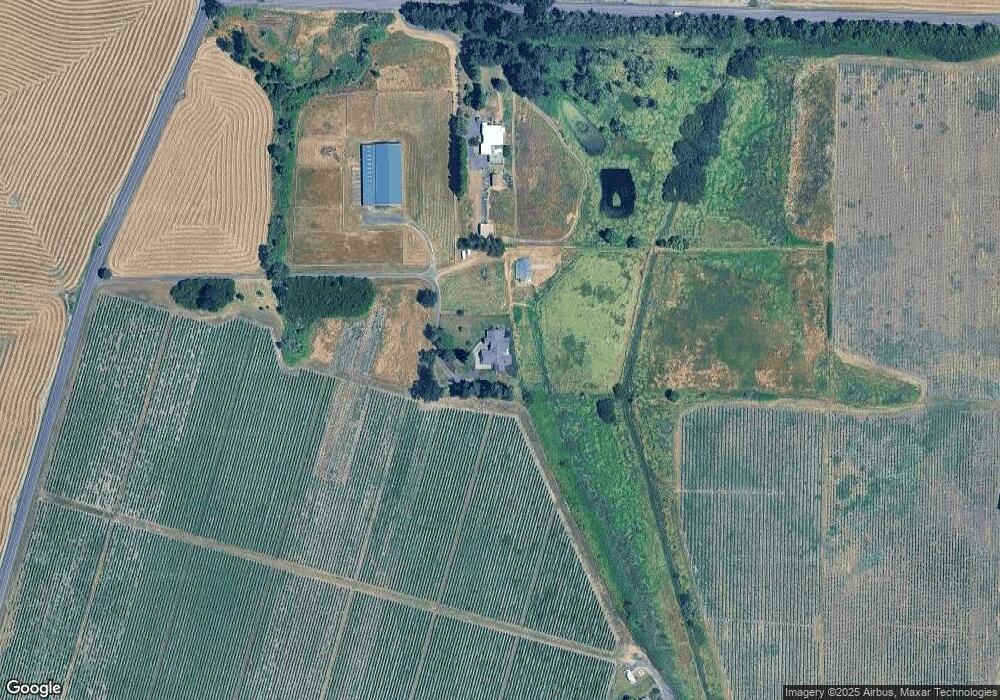
7803 NW Independence Hwy Albany, OR 97321
Estimated Value: $1,401,000 - $2,198,820
3
Beds
3
Baths
4,366
Sq Ft
$412/Sq Ft
Est. Value
About This Home
This home is located at 7803 NW Independence Hwy, Albany, OR 97321 and is currently estimated at $1,799,910, approximately $412 per square foot. 7803 NW Independence Hwy is a home located in Benton County with nearby schools including Fir Grove Primary School, Oak Grove Intermediate School, and North Albany Middle School.
Ownership History
Date
Name
Owned For
Owner Type
Purchase Details
Closed on
May 31, 2016
Sold by
Rose Mark D and Rose Ramona M
Bought by
Rose Mark D
Current Estimated Value
Purchase Details
Closed on
May 10, 2004
Sold by
Rudzik Mark A and Rudzik Terry A
Bought by
Rose Mark D and Ramona Rose M
Purchase Details
Closed on
Aug 5, 1996
Bought by
Rose Mark D
Purchase Details
Closed on
Jul 12, 1990
Bought by
Rose Mark D
Create a Home Valuation Report for This Property
The Home Valuation Report is an in-depth analysis detailing your home's value as well as a comparison with similar homes in the area
Home Values in the Area
Average Home Value in this Area
Purchase History
| Date | Buyer | Sale Price | Title Company |
|---|---|---|---|
| Rose Mark D | -- | None Available | |
| Rose Mark D | $479,500 | First American Title | |
| Rose Mark D | $245,000 | -- | |
| Rose Mark D | $80,000 | -- |
Source: Public Records
Tax History Compared to Growth
Tax History
| Year | Tax Paid | Tax Assessment Tax Assessment Total Assessment is a certain percentage of the fair market value that is determined by local assessors to be the total taxable value of land and additions on the property. | Land | Improvement |
|---|---|---|---|---|
| 2024 | $12,085 | $858,258 | -- | -- |
| 2023 | $11,389 | $833,384 | $0 | $0 |
| 2022 | $11,273 | $809,219 | $0 | $0 |
| 2021 | $10,586 | $785,784 | $0 | $0 |
| 2020 | $10,738 | $763,012 | $0 | $0 |
| 2019 | $9,813 | $740,905 | $0 | $0 |
| 2018 | $9,874 | $719,442 | $0 | $0 |
| 2017 | $6,651 | $487,308 | $0 | $0 |
| 2016 | $6,040 | $473,231 | $0 | $0 |
| 2015 | $5,964 | $459,563 | $0 | $0 |
| 2014 | $5,801 | $446,293 | $0 | $0 |
| 2012 | -- | $411,745 | $0 | $0 |
Source: Public Records
Map
Nearby Homes
- 5970 NW Independence Hwy
- 4135 NW Alder Ave
- 0 NW Bramblewood Ln
- 0 Highway 99w Unit 23169928
- 4266 NW Palestine Ave
- 3 NW Powers Ave
- 0 Powers (Lot 3) Ave NW Unit 825003
- 3714 NW Wishram Dr
- 3212 NW Terrace Dr
- 1163 SW 11th Ave
- Lot 900 NE Hibiscus Dr
- 4075 NW Camala Dr
- 0 Valley View (Lot 1101) NW Unit 827700
- 0 Valley View (Lot 1102) NW Unit 827701
- 0 Valley View Dr NW Unit 1101 636500940
- 0 Valley View Dr NW Unit 1102
- 3503 NW Valley View Dr
- 3122 NE Willamette Ave
- 0 Arlington (Ta# 012488) Dr NW Unit 828948
- 2700 NW Miller Ln
- 9760 Springhill Dr NW
- 8756 Springhill Dr NW
- 0 Springhill & Independence (Next To Corner of Hwy NW Unit 807684
- 104090000801 NW Next To Corner of Springhill and Independence Hwy
- 7491 NW Independence Hwy
- 9725 Springhill Dr NE
- 7299 NW Independence Hwy
- 7299 NW Unassigned Hwy
- 6718 NW Independence Hwy
- 8367 Buena Vista Dr
- 7256 Springhill Dr NW
- 30131 Camp Adair Rd
- 14605 Corvallis Rd
- 7790 Springhill Dr NW
- 8759 Buena Vista Rd NW
- 7813 NW Springhill Dr
- 7682 Springhill Dr NW