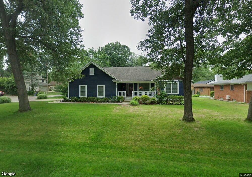
7803 Richardson Rd West Bloomfield, MI 48323
Estimated Value: $371,000 - $456,762
3
Beds
2
Baths
1,619
Sq Ft
$250/Sq Ft
Est. Value
About This Home
This home is located at 7803 Richardson Rd, West Bloomfield, MI 48323 and is currently estimated at $403,941, approximately $249 per square foot. 7803 Richardson Rd is a home with nearby schools including Walled Lake Central High School, St. Matthew Lutheran School, and St. William School.
Ownership History
Date
Name
Owned For
Owner Type
Purchase Details
Closed on
Oct 9, 2024
Sold by
Sosnowski David A and Sosnowski Jill M
Bought by
Sosnowski David A and Sosnowski Jill M
Current Estimated Value
Purchase Details
Closed on
Mar 6, 2012
Sold by
Sosnowski Florence L and Florence L Sosnowski Revocable
Bought by
Sosnowski David A and Sosnowski Jill M
Create a Home Valuation Report for This Property
The Home Valuation Report is an in-depth analysis detailing your home's value as well as a comparison with similar homes in the area
Home Values in the Area
Average Home Value in this Area
Purchase History
| Date | Buyer | Sale Price | Title Company |
|---|---|---|---|
| Sosnowski David A | -- | None Listed On Document | |
| Sosnowski David A | -- | None Listed On Document | |
| Sosnowski David A | -- | None Available |
Source: Public Records
Tax History Compared to Growth
Tax History
| Year | Tax Paid | Tax Assessment Tax Assessment Total Assessment is a certain percentage of the fair market value that is determined by local assessors to be the total taxable value of land and additions on the property. | Land | Improvement |
|---|---|---|---|---|
| 2024 | $2,271 | $213,130 | $0 | $0 |
| 2022 | $2,141 | $191,350 | $37,600 | $153,750 |
| 2021 | $3,521 | $173,800 | $0 | $0 |
| 2020 | $2,116 | $170,030 | $37,600 | $132,430 |
| 2018 | $3,427 | $155,200 | $32,550 | $122,650 |
| 2015 | -- | $117,460 | $0 | $0 |
| 2014 | -- | $105,300 | $0 | $0 |
| 2011 | -- | $27,550 | $0 | $0 |
Source: Public Records
Map
Nearby Homes
- 7969 Richardson Rd
- 7381 Crestmore St
- 7337 Richardson Rd
- 4212 Greendale Ave
- 4245 Bunker Ave
- 7359 Woodlore Dr
- 7369 Sweetbriar
- 4335 Crestdale Ave
- 0000 Dickert St
- 6978 Colony Dr
- 1047 Addison Cir
- 103 Addison Cir
- 3291 Melmoor St
- 8330 Dickert St
- 7146 Arrowood Dr
- 8223 Arlis St
- 6903 Dandison Blvd
- 7555 Windgate Cir
- 8304 Arlis St
- 8559 Pine Cove Dr
- 4036 Circle Blvd
- 7815 Richardson Rd
- 4035 Maple Blvd
- 7777 Richardson Rd
- 4039 Circle Blvd
- 7806 Richardson Rd
- 4047 Maple Blvd
- 7800 Richardson Rd
- 4039 Circle Bvld
- 7816 Richardson Rd
- 4060 Circle Blvd
- 7759 Richardson Rd
- 4055 Circle Blvd
- 4024 Maple Blvd
- 4036 Maple Blvd
- 3991 Beach Terrace
- 4076 Circle Blvd
- 4020 Crystal St
- 4067 Circle Blvd
- 4050 Maple Blvd