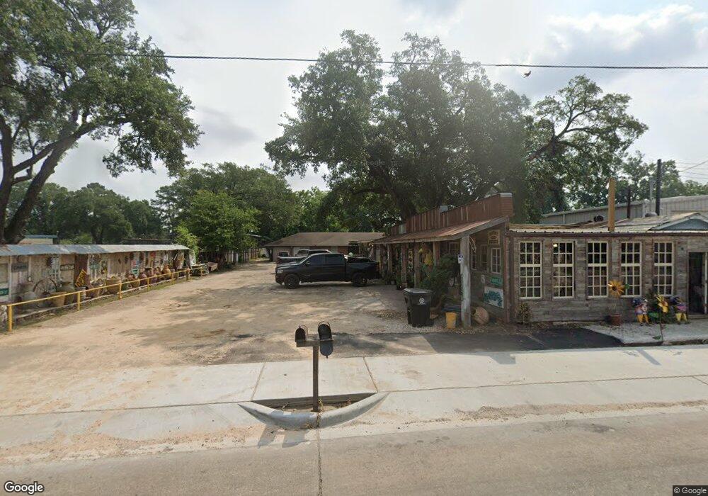
7806 Airline Dr Unit 1 Houston, TX 77037
Northside-Northline NeighborhoodEstimated Value: $469,000 - $617,093
--
Bed
--
Bath
3,014
Sq Ft
$180/Sq Ft
Est. Value
About This Home
This home is located at 7806 Airline Dr Unit 1, Houston, TX 77037 and is currently estimated at $543,047, approximately $180 per square foot. 7806 Airline Dr Unit 1 is a home located in Harris County with nearby schools including Joe E. Moreno Elementary School, Fonville Middle School, and Sam Houston Math, Science & Technology Center.
Ownership History
Date
Name
Owned For
Owner Type
Purchase Details
Closed on
May 27, 2015
Sold by
Wetuski Ann and Wetuski Annie Wisnoski
Bought by
Nunez Eliseo Martinez
Current Estimated Value
Home Financials for this Owner
Home Financials are based on the most recent Mortgage that was taken out on this home.
Original Mortgage
$150,000
Outstanding Balance
$115,971
Interest Rate
3.7%
Mortgage Type
Purchase Money Mortgage
Estimated Equity
$427,076
Purchase Details
Closed on
May 19, 1996
Sold by
Orlando Mary W and Orlando John
Bought by
Wisnoski Theresa F
Create a Home Valuation Report for This Property
The Home Valuation Report is an in-depth analysis detailing your home's value as well as a comparison with similar homes in the area
Home Values in the Area
Average Home Value in this Area
Purchase History
| Date | Buyer | Sale Price | Title Company |
|---|---|---|---|
| Nunez Eliseo Martinez | -- | First American Title | |
| Wisnoski Theresa F | -- | -- |
Source: Public Records
Mortgage History
| Date | Status | Borrower | Loan Amount |
|---|---|---|---|
| Open | Nunez Eliseo Martinez | $150,000 |
Source: Public Records
Tax History Compared to Growth
Tax History
| Year | Tax Paid | Tax Assessment Tax Assessment Total Assessment is a certain percentage of the fair market value that is determined by local assessors to be the total taxable value of land and additions on the property. | Land | Improvement |
|---|---|---|---|---|
| 2025 | $13,897 | $636,561 | $474,000 | $162,561 |
| 2024 | $13,897 | $635,759 | $474,000 | $161,759 |
| 2023 | $13,897 | $540,353 | $379,200 | $161,153 |
| 2022 | $11,258 | $511,278 | $379,200 | $132,078 |
| 2021 | $11,164 | $478,985 | $379,200 | $99,785 |
| 2020 | $11,457 | $473,119 | $379,200 | $93,919 |
| 2019 | $10,566 | $417,554 | $316,000 | $101,554 |
| 2018 | $8,857 | $350,000 | $316,000 | $34,000 |
| 2017 | $10,241 | $405,023 | $316,000 | $89,023 |
| 2016 | $7,080 | $280,000 | $189,600 | $90,400 |
| 2015 | $7,212 | $313,951 | $189,600 | $124,351 |
| 2014 | $7,212 | $270,059 | $189,600 | $80,459 |
Source: Public Records
Map
Nearby Homes
- 7713 Airline Dr
- 602 E Little York Rd
- TBD E Little York Rd
- 11405 Walk Dr
- 8011 Werner St
- 7520 Gracia St
- 7518 Gracia St
- 931 Mitchell Rd
- 706 Savonna
- 11319 Stonework Grove Ln
- 11317 Stonework Grove Ln
- 11313 Stonework Grove Ln
- 11325 Stonework Garden Ln
- 413 Stonework Landing Ln
- 412 Stonework Landing Ln
- 8605 Airline Dr
- 11320 Stonework Garden Ln
- 413 Stonework Sage Ln
- 715 E Twickenham Trail
- 7557 Meadowview Dr
- 12009 Meadowfair St
- 12013 Meadowfair St
- 12005 Meadowfair St
- 7732 Airline Dr
- 12017 Meadowfair St
- 12001 Meadowfair St
- 12021 Meadowfair St
- 7817 Airline Dr
- 11929 Meadowfair St
- 12025 Meadowfair St
- 7840 Airline Dr
- 11925 Meadowfair St
- 12010 Meadowfair St
- 12014 Meadowfair St
- 12006 Meadowfair St
- 12018 Meadowfair St
- 12002 Meadowfair St
- 12022 Meadowfair St
- 11917 Meadowfair St
- 11930 Meadowfair St