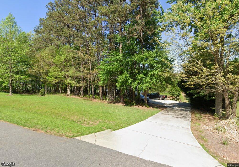
7808 Cedar Point Dr Summerfield, NC 27358
Estimated Value: $310,000 - $426,000
2
Beds
2
Baths
1,400
Sq Ft
$253/Sq Ft
Est. Value
About This Home
This home is located at 7808 Cedar Point Dr, Summerfield, NC 27358 and is currently estimated at $353,700, approximately $252 per square foot. 7808 Cedar Point Dr is a home located in Guilford County with nearby schools including Summerfield Elementary School, Northern Guilford Middle School, and Northern Guilford High School.
Ownership History
Date
Name
Owned For
Owner Type
Purchase Details
Closed on
Jul 29, 2002
Sold by
North American Southwest Corp
Bought by
Watson Christopher B and Watson Alissa P
Current Estimated Value
Home Financials for this Owner
Home Financials are based on the most recent Mortgage that was taken out on this home.
Original Mortgage
$125,000
Outstanding Balance
$56,046
Interest Rate
6.67%
Estimated Equity
$297,654
Create a Home Valuation Report for This Property
The Home Valuation Report is an in-depth analysis detailing your home's value as well as a comparison with similar homes in the area
Home Values in the Area
Average Home Value in this Area
Purchase History
| Date | Buyer | Sale Price | Title Company |
|---|---|---|---|
| Watson Christopher B | $33,000 | -- |
Source: Public Records
Mortgage History
| Date | Status | Borrower | Loan Amount |
|---|---|---|---|
| Open | Watson Christopher B | $125,000 |
Source: Public Records
Tax History Compared to Growth
Tax History
| Year | Tax Paid | Tax Assessment Tax Assessment Total Assessment is a certain percentage of the fair market value that is determined by local assessors to be the total taxable value of land and additions on the property. | Land | Improvement |
|---|---|---|---|---|
| 2025 | $2,019 | $227,100 | $72,000 | $155,100 |
| 2024 | $2,019 | $227,100 | $72,000 | $155,100 |
| 2023 | $2,019 | $227,100 | $72,000 | $155,100 |
| 2022 | $2,019 | $227,100 | $72,000 | $155,100 |
| 2021 | $1,610 | $181,100 | $48,000 | $133,100 |
| 2020 | $1,610 | $181,100 | $48,000 | $133,100 |
| 2019 | $1,610 | $172,600 | $0 | $0 |
| 2018 | $1,527 | $172,600 | $0 | $0 |
| 2017 | $1,534 | $172,600 | $0 | $0 |
| 2016 | $1,497 | $163,900 | $0 | $0 |
| 2015 | $1,505 | $163,900 | $0 | $0 |
| 2014 | $1,522 | $163,900 | $0 | $0 |
Source: Public Records
Map
Nearby Homes
- 7710 Sorrel Run Ct
- 3602 Birdsong Ct
- 3606 Birdsong Ct
- 7530 Adler Rd
- 6407 Lake Brandt Rd
- 7603 Adler Rd
- 7987 Witty Rd
- 6428 Lake Brandt Rd
- 6416 Lake Brandt Rd
- 6420 Lake Brandt Rd
- 6418 Lake Brandt Rd
- 6303 Reata Ct
- 7496 Strader Rd
- 1917 Scalesville Rd
- 8305 Pyramid Dr
- 1108 Hayes Farm Dr
- 3106 Pasture View Dr
- 3104 Pasture View Dr
- 3105 Pasture View Dr
- 3102 Pasture View Dr
- 7806 Cedar Point Dr
- 7810 Cedar Point Dr
- 7807 Cedar Point Dr
- 7805 Cedar Point Dr
- 7804 Cedar Point Dr
- 7812 Cedar Point Dr
- 7803 Cedar Point Dr
- 7809 Cedar Point Dr
- 7900 Cedar Point Dr
- 3392 Springsong Ct
- 3393 Springsong Ct
- 7801 Cedar Point Dr
- 3390 Earl Forbes Dr
- 3386 Earl Forbes Dr
- 3394 Springsong Ct
- 3395 Springsong Ct
- 7902 Cedar Point Dr
- 3392 Earl Forbes Dr
- 3396 Springsong Ct
- 7903 Cedar Point Dr
