Estimated Value: $308,000 - $453,000
Studio
--
Bath
1,839
Sq Ft
$215/Sq Ft
Est. Value
About This Home
This home is located at 7808 State Highway Pp, Ava, MO 65608 and is currently estimated at $394,476, approximately $214 per square foot. 7808 State Highway Pp is a home with nearby schools including Ava Elementary School, Ava Middle School, and Ava High School.
Ownership History
Date
Name
Owned For
Owner Type
Purchase Details
Closed on
Oct 4, 2018
Sold by
Stewart Jim and Stewart Gary
Bought by
Smith Travis M and Revocable Living Trust Agreeme
Current Estimated Value
Purchase Details
Closed on
Dec 4, 2017
Sold by
Portell David and Portell Kathleen
Bought by
Affholder Kaleb
Purchase Details
Closed on
Dec 16, 2016
Sold by
Andresen Vonni Lynn
Bought by
Schmude Michael and Schmude Rene
Home Financials for this Owner
Home Financials are based on the most recent Mortgage that was taken out on this home.
Original Mortgage
$40,000
Interest Rate
3.54%
Mortgage Type
Future Advance Clause Open End Mortgage
Purchase Details
Closed on
Dec 1, 2015
Sold by
Rentfro Margaret Draemel and Rentfro James Linton
Bought by
Rentfro Margaret D and Margaret D Rentgro Revocable Trust
Create a Home Valuation Report for This Property
The Home Valuation Report is an in-depth analysis detailing your home's value as well as a comparison with similar homes in the area
Purchase History
| Date | Buyer | Sale Price | Title Company |
|---|---|---|---|
| Smith Travis M | -- | Barristers Title Company | |
| Affholder Kaleb | -- | None Available | |
| Schmude Michael | -- | None Available | |
| Rentfro Margaret D | -- | None Available |
Source: Public Records
Mortgage History
| Date | Status | Borrower | Loan Amount |
|---|---|---|---|
| Previous Owner | Schmude Michael | $40,000 |
Source: Public Records
Tax History
| Year | Tax Paid | Tax Assessment Tax Assessment Total Assessment is a certain percentage of the fair market value that is determined by local assessors to be the total taxable value of land and additions on the property. | Land | Improvement |
|---|---|---|---|---|
| 2025 | $2,005 | $63,370 | $2,900 | $60,470 |
| 2024 | $20 | $57,970 | $2,520 | $55,450 |
| 2023 | $1,998 | $57,970 | $2,520 | $55,450 |
| 2022 | $1,683 | $48,970 | $2,520 | $46,450 |
| 2021 | $1,547 | $48,970 | $2,520 | $46,450 |
| 2020 | $1,547 | $44,330 | $2,520 | $41,810 |
| 2019 | $1,292 | $36,910 | $2,520 | $34,390 |
| 2018 | $1,288 | $36,910 | $2,520 | $34,390 |
| 2017 | $143 | $4,060 | $2,520 | $1,540 |
| 2016 | $139 | $3,950 | $2,510 | $1,440 |
| 2012 | -- | $3,950 | $0 | $0 |
Source: Public Records
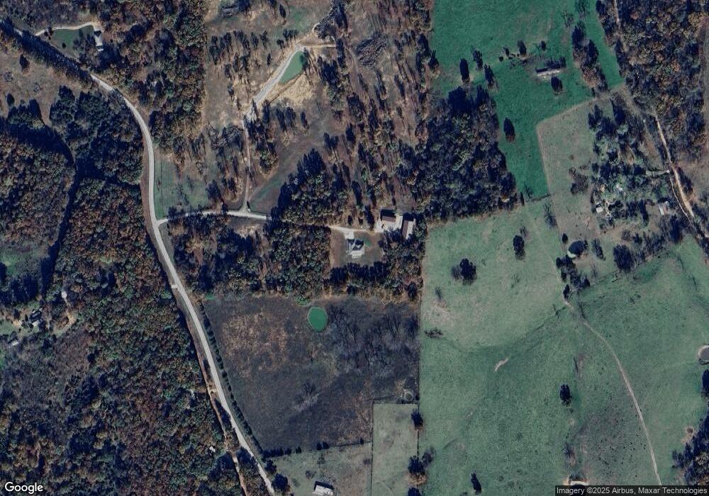
Map
Nearby Homes
- 9372 State Highway Pp
- 000 76 Hwy W
- 000 County Road O-532 Unit 43
- 12459 Co Rd Unit 5-402 B
- 6179 County Road Kk-420
- 20259 W State Highway 76
- 8348 S State Highway 5 (Land & Busns)
- 000 County Road 529
- 12257 Rd
- 20738 State Highway 76
- 2013 Wayside Ln
- 13368 W County Road W 76-505
- 1913 Wayside Ln
- 13460 W County Road 76-505
- 15576 State Highway 76
- 000 Shull St
- 20093 State Highway 76
- 1007 Collins Ave Unit 4
- 6739 Co Rd W Unit 76-430
- 312 Posey St
- W-76 Pp
- 16697 W State Highway 76
- Rt 4 Pp Hwy
- 2 Pp
- 0 Hwy Pp Unit 11014876
- 0 Hwy Pp Unit 11315833
- 7687 State Highway Pp
- Lot 6 Woodland Height Hwy Pp
- 8083 County Rd Pp-515 Rd
- 8022 State Highway Pp
- 7511 State Highway Pp
- 7775 State Highway Pp
- Cr 524 Rt 1
- 000 Highway Pp
- 16535 W State Highway 76
- 17059 W State Highway 76
- 16408 W State Highway 76
- 7697 County Rd W 76-522
- 7776 County Rd Pp-515
- 8219 State Highway Pp
Your Personal Tour Guide
Ask me questions while you tour the home.