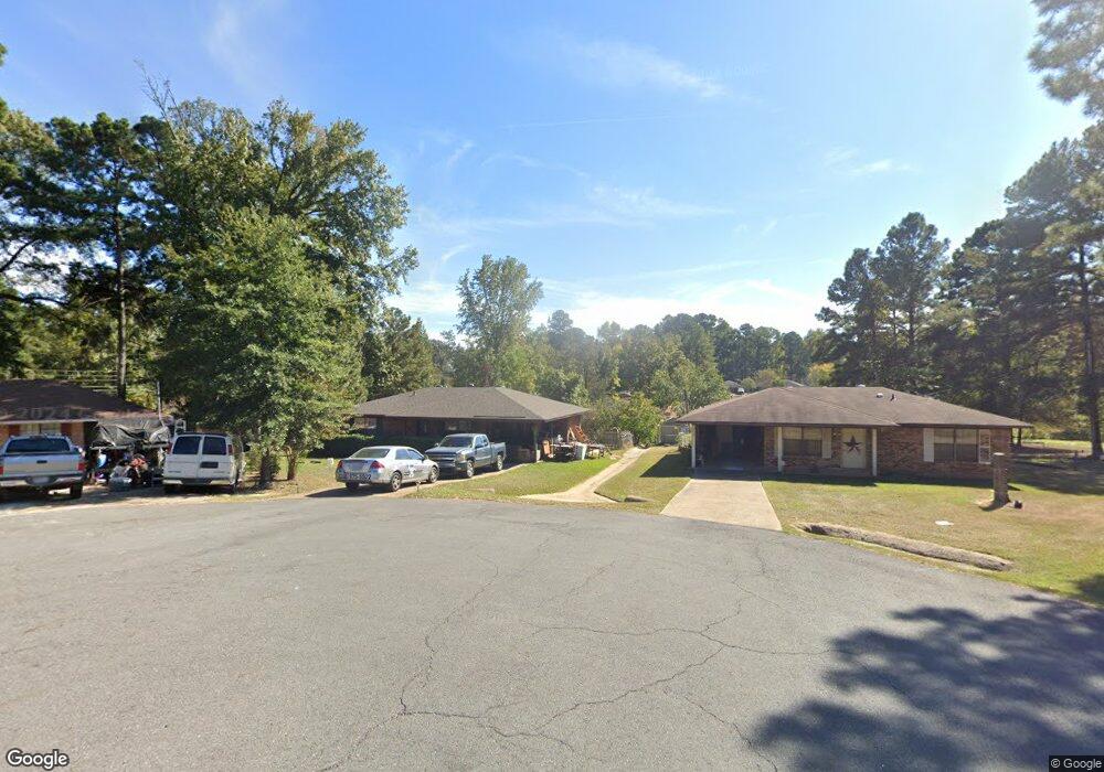
7809 Ricks Rd Shreveport, LA 71107
Estimated Value: $57,000 - $107,110
3
Beds
1
Bath
1,060
Sq Ft
$69/Sq Ft
Est. Value
About This Home
This home is located at 7809 Ricks Rd, Shreveport, LA 71107 and is currently estimated at $72,778, approximately $68 per square foot. 7809 Ricks Rd is a home located in Caddo Parish with nearby schools including Blanchard Elementary School, Judson Fundamental Elementary School, and Fairfield Magnet School.
Ownership History
Date
Name
Owned For
Owner Type
Purchase Details
Closed on
Oct 2, 2020
Sold by
Mse Sub I Llc
Bought by
Crafts Hunter J
Current Estimated Value
Home Financials for this Owner
Home Financials are based on the most recent Mortgage that was taken out on this home.
Original Mortgage
$48,500
Outstanding Balance
$43,138
Interest Rate
2.9%
Mortgage Type
New Conventional
Estimated Equity
$29,640
Purchase Details
Closed on
Jan 4, 2017
Sold by
Us Bank Trust National Association
Bought by
Mse Sub I Llc
Purchase Details
Closed on
Jul 13, 2015
Sold by
Hs Property Owner Llc
Bought by
U S Bank Trust Na
Purchase Details
Closed on
Jul 18, 2014
Sold by
Us Bank Na
Bought by
Hs Property Owner Llc
Purchase Details
Closed on
Dec 11, 2013
Sold by
Weldon Rita F
Bought by
Us Bank Na
Create a Home Valuation Report for This Property
The Home Valuation Report is an in-depth analysis detailing your home's value as well as a comparison with similar homes in the area
Home Values in the Area
Average Home Value in this Area
Purchase History
| Date | Buyer | Sale Price | Title Company |
|---|---|---|---|
| Crafts Hunter J | $50,000 | None Available | |
| Mse Sub I Llc | -- | None Available | |
| U S Bank Trust Na | $80,900 | None Available | |
| Hs Property Owner Llc | -- | None Available | |
| Us Bank Na | $48,000 | None Available |
Source: Public Records
Mortgage History
| Date | Status | Borrower | Loan Amount |
|---|---|---|---|
| Open | Crafts Hunter J | $48,500 |
Source: Public Records
Tax History Compared to Growth
Tax History
| Year | Tax Paid | Tax Assessment Tax Assessment Total Assessment is a certain percentage of the fair market value that is determined by local assessors to be the total taxable value of land and additions on the property. | Land | Improvement |
|---|---|---|---|---|
| 2024 | $897 | $5,745 | $1,167 | $4,578 |
| 2023 | $913 | $5,690 | $1,112 | $4,578 |
| 2022 | $913 | $5,690 | $1,112 | $4,578 |
| 2021 | $913 | $5,690 | $1,112 | $4,578 |
| 2020 | $913 | $5,690 | $1,112 | $4,578 |
| 2019 | $896 | $5,629 | $1,112 | $4,517 |
| 2018 | $896 | $5,629 | $1,112 | $4,517 |
| 2017 | $894 | $5,629 | $1,112 | $4,517 |
| 2015 | $912 | $5,610 | $1,110 | $4,500 |
| 2014 | $918 | $5,610 | $1,110 | $4,500 |
| 2013 | -- | $5,610 | $1,110 | $4,500 |
Source: Public Records
Map
Nearby Homes
- 4180 Glenn Rd
- 0 Buckingham Dr Unit 21060001
- 6340 Pine Hill Rd
- 6345 Smith Ln
- 6026 Cherry Hill Ave
- 0 Cambridge Cir
- 6420 Sand Hill Ave
- 186 Katie Cir
- 168 Katie Cir
- 5785 Bunker Way
- 4857 Sandtrap Cir
- 6564 Haswell Dr
- 4863 Chipshot Ln
- 625 Stockbridge Ln
- 6105 Shadow Wood Dr
- Lot 94 Chickamauga Trail
- Lot 95 Chickamauga Trail
- 4840 Pin High Cir
- 636 Sandy Ridge Cir
- 649 Hilltop Cir