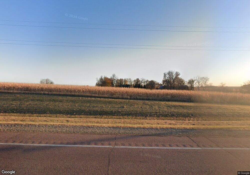
7809 W 60th St N Sioux Falls, SD 57107
Estimated Value: $611,000 - $956,366
5
Beds
4
Baths
1,702
Sq Ft
$452/Sq Ft
Est. Value
About This Home
This home is located at 7809 W 60th St N, Sioux Falls, SD 57107 and is currently estimated at $769,092, approximately $451 per square foot. 7809 W 60th St N is a home located in Minnehaha County with nearby schools including Tri-Valley Elementary School, Tri-Valley Junior High School, and Tri-Valley High School.
Ownership History
Date
Name
Owned For
Owner Type
Purchase Details
Closed on
Jun 3, 2020
Sold by
Tonner Brent and Nimick Kristi
Bought by
Thornton Maegan Marie and Thornton Bryce David
Current Estimated Value
Home Financials for this Owner
Home Financials are based on the most recent Mortgage that was taken out on this home.
Original Mortgage
$172,380
Outstanding Balance
$152,802
Interest Rate
3.2%
Mortgage Type
VA
Estimated Equity
$616,290
Purchase Details
Closed on
Dec 19, 2011
Sold by
Tonner Kathleen A
Bought by
Tonner Brent and Tonner Sheri
Create a Home Valuation Report for This Property
The Home Valuation Report is an in-depth analysis detailing your home's value as well as a comparison with similar homes in the area
Purchase History
| Date | Buyer | Sale Price | Title Company |
|---|---|---|---|
| Thornton Maegan Marie | $391,000 | Stewart Title Company | |
| Tonner Brent | -- | -- |
Source: Public Records
Mortgage History
| Date | Status | Borrower | Loan Amount |
|---|---|---|---|
| Open | Thornton Maegan Marie | $172,380 |
Source: Public Records
Tax History Compared to Growth
Tax History
| Year | Tax Paid | Tax Assessment Tax Assessment Total Assessment is a certain percentage of the fair market value that is determined by local assessors to be the total taxable value of land and additions on the property. | Land | Improvement |
|---|---|---|---|---|
| 2024 | $8,863 | $744,700 | $162,700 | $582,000 |
| 2023 | $9,097 | $715,800 | $125,200 | $590,600 |
| 2022 | $6,828 | $498,500 | $83,300 | $415,200 |
| 2021 | $5,648 | $391,100 | $0 | $0 |
| 2020 | $5,648 | $347,890 | $0 | $0 |
| 2019 | $5,611 | $338,613 | $0 | $0 |
| 2018 | $4,867 | $326,205 | $0 | $0 |
| 2017 | $4,959 | $306,382 | $71,940 | $234,442 |
| 2016 | $4,959 | $303,401 | $71,940 | $231,461 |
| 2015 | $3,727 | $295,181 | $68,190 | $226,991 |
| 2014 | -- | $299,344 | $68,190 | $231,154 |
Source: Public Records
Map
Nearby Homes
- 0 W 60th St N Unit 22302533
- 6105 W 54th St N
- 6101 W 54th St N
- 5528 W Rock Hill Place
- 5518 Rock Hill Place
- 5513 Rock Hill Place
- 4202 N Knob Hill Ct
- 4209 N Jans Dr
- 5701 W Cushman St
- 5705 W Cushman St
- 5609 W Cushman St
- 5605 W Cushman St
- 3340 N Geneva Trail
- 4112 N Jans Dr
- 3309 N Geneva Trail
- 3221 N Yukon Ave
- 3300 N Yukon Ave
- 3228 N Yukon Ave
- 3901 N Briggs Cir
- 4301 N Montana Ave
- 0 Tbd Hwy 38 Hwy
- 7420 W 60th St N
- 7500 W 60th St N
- 0 N La Mesa Dr
- 4405 N Ellis Rd
- 46896 Sd Highway 38
- 4501 N Ellis Rd
- 4401 N Ellis Rd
- 4200 N Ellis Rd
- 4401 N Ellis Rd Rd
- 6800 W 60th St N
- 0 Horizon Properties Unit 2762188-6468675
- 0 Horizon Properties Unit 2762188-5330221
- 0 Horizon Properties Unit 2762188-6605495
- 0 Horizon Properties Unit 2762188-4206144
- 7500 W Benson Rd
- 7500 W Benson Rd
- 6601 W 60th St N
- TBD Pheasant Run Ave
- 26026 469th Ave
