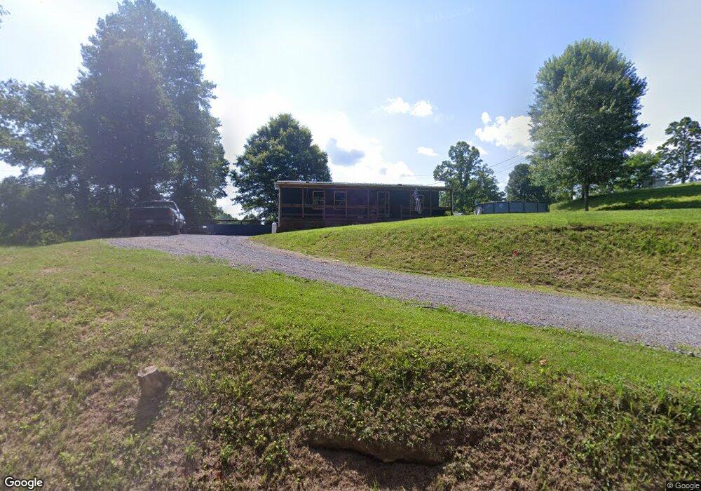
781 Aarons Dr Birchleaf, VA 24220
Estimated Value: $94,000 - $130,000
3
Beds
2
Baths
1,080
Sq Ft
$110/Sq Ft
Est. Value
About This Home
This home is located at 781 Aarons Dr, Birchleaf, VA 24220 and is currently estimated at $119,104, approximately $110 per square foot. 781 Aarons Dr is a home located in Dickenson County with nearby schools including Ridgeview High School.
Ownership History
Date
Name
Owned For
Owner Type
Purchase Details
Closed on
Oct 16, 2024
Sold by
Fletcher Jeromy W and Fletcher Porchia D
Bought by
Counts Ashton Lane and Parker Kaden
Current Estimated Value
Home Financials for this Owner
Home Financials are based on the most recent Mortgage that was taken out on this home.
Original Mortgage
$120,575
Outstanding Balance
$119,244
Interest Rate
6.09%
Mortgage Type
FHA
Estimated Equity
-$140
Create a Home Valuation Report for This Property
The Home Valuation Report is an in-depth analysis detailing your home's value as well as a comparison with similar homes in the area
Purchase History
| Date | Buyer | Sale Price | Title Company |
|---|---|---|---|
| Counts Ashton Lane | $122,800 | Amrock Title Insurance Company | |
| Counts Ashton Lane | $122,800 | Amrock Title Insurance Company | |
| Counts Ashton Lane | $122,800 | Amrock Title Insurance Company |
Source: Public Records
Mortgage History
| Date | Status | Borrower | Loan Amount |
|---|---|---|---|
| Open | Counts Ashton Lane | $120,575 | |
| Closed | Counts Ashton Lane | $120,575 |
Source: Public Records
Tax History
| Year | Tax Paid | Tax Assessment Tax Assessment Total Assessment is a certain percentage of the fair market value that is determined by local assessors to be the total taxable value of land and additions on the property. | Land | Improvement |
|---|---|---|---|---|
| 2025 | $371 | $71,300 | $7,700 | $63,600 |
| 2024 | $371 | $71,300 | $7,700 | $63,600 |
| 2023 | $337 | $56,100 | $7,700 | $48,400 |
| 2022 | $337 | $56,100 | $7,700 | $48,400 |
| 2021 | $337 | $56,100 | $7,700 | $48,400 |
| 2020 | $337 | $56,100 | $7,700 | $48,400 |
| 2019 | $337 | $56,100 | $7,700 | $48,400 |
| 2018 | $337 | $56,100 | $7,700 | $48,400 |
| 2017 | $296 | $52,800 | $7,700 | $45,100 |
| 2016 | $296 | $52,800 | $7,700 | $45,100 |
| 2015 | $296 | $52,800 | $7,700 | $45,100 |
Source: Public Records
Map
Nearby Homes
- 362 Rakes Ridge Rd
- 2443 Sandlick Rd
- 127 Bartley St
- 169 J and M Belcher Dr
- Tbd Big Ridge Rd
- 639 Dream Farm Rd
- 1991 Old Greenbrier Rd
- 613 Turkey Branch
- 118 Turner Rd
- 8836 Lovers Gap Rd
- 358 Wagon Trail
- 5186 Lick Creek Rd
- Tbd Retriever Ln
- 948 Victorian Dr
- 2474 Bear Branch Rd
- 490 Delaney Ln
- 167 Wilderness Ln
- 147 Gilmore St
- 392 Elbert Ramsey Rd
- 124 Clinchco Main St
- 867 Aarons Dr
- 871 Aarons Dr
- 970 Aarons Dr
- 575 Aarons Dr
- 321 Democrat Dr
- 1034 Aarons Dr
- 567 Aarons Dr
- 505 Aarons Dr
- 483 Aarons Dr
- 1109 Aarons Dr
- 150 Lone Star Rd
- 1162 Aarons Dr
- 1240 Aarons Dr
- 1076 Aarons Dr
- 1320 Aarons Dr
- 296 Aarons Dr
- 512 Rakes Ridge Rd
- 1318 Aarons Dr
- 171 Aarons Dr
- 112 Shady Lady Ln
Your Personal Tour Guide
Ask me questions while you tour the home.