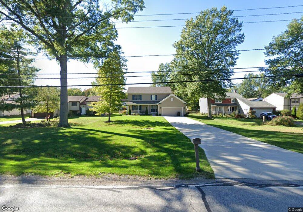
781 Bacon Rd Painesville, OH 44077
Estimated Value: $322,000 - $378,985
4
Beds
3
Baths
1,120
Sq Ft
$305/Sq Ft
Est. Value
About This Home
This home is located at 781 Bacon Rd, Painesville, OH 44077 and is currently estimated at $341,996, approximately $305 per square foot. 781 Bacon Rd is a home located in Lake County with nearby schools including Henry F. Lamuth Middle School, Riverside Junior/Senior High School, and Summit Academy Community School - Painesville.
Ownership History
Date
Name
Owned For
Owner Type
Purchase Details
Closed on
Apr 6, 2002
Sold by
Barr Katherine M
Bought by
Gillissie Brian T
Current Estimated Value
Home Financials for this Owner
Home Financials are based on the most recent Mortgage that was taken out on this home.
Original Mortgage
$100,000
Outstanding Balance
$41,484
Interest Rate
6.82%
Estimated Equity
$300,512
Purchase Details
Closed on
Jun 28, 2000
Sold by
Hud
Bought by
Bahr Katherine M and Gillissie Brian T
Home Financials for this Owner
Home Financials are based on the most recent Mortgage that was taken out on this home.
Original Mortgage
$95,000
Interest Rate
8.64%
Purchase Details
Closed on
Mar 9, 2000
Sold by
Gary Summers
Bought by
Hud
Create a Home Valuation Report for This Property
The Home Valuation Report is an in-depth analysis detailing your home's value as well as a comparison with similar homes in the area
Home Values in the Area
Average Home Value in this Area
Purchase History
| Date | Buyer | Sale Price | Title Company |
|---|---|---|---|
| Gillissie Brian T | -- | U S Title Agency Inc | |
| Bahr Katherine M | -- | Cresi | |
| Hud | $78,000 | -- |
Source: Public Records
Mortgage History
| Date | Status | Borrower | Loan Amount |
|---|---|---|---|
| Open | Gillissie Brian T | $100,000 | |
| Previous Owner | Bahr Katherine M | $95,000 |
Source: Public Records
Tax History Compared to Growth
Tax History
| Year | Tax Paid | Tax Assessment Tax Assessment Total Assessment is a certain percentage of the fair market value that is determined by local assessors to be the total taxable value of land and additions on the property. | Land | Improvement |
|---|---|---|---|---|
| 2024 | $7,283 | $130,940 | $22,190 | $108,750 |
| 2023 | $7,283 | $95,840 | $17,720 | $78,120 |
| 2022 | $6,152 | $95,840 | $17,720 | $78,120 |
| 2021 | $6,261 | $95,840 | $17,720 | $78,120 |
| 2020 | $6,191 | $83,340 | $15,410 | $67,930 |
| 2019 | $6,115 | $83,340 | $15,410 | $67,930 |
| 2018 | $1,288 | $49,670 | $11,430 | $38,240 |
| 2017 | $3,966 | $49,670 | $11,430 | $38,240 |
| 2016 | $3,553 | $49,670 | $11,430 | $38,240 |
| 2015 | $2,843 | $49,670 | $11,430 | $38,240 |
| 2014 | $2,890 | $49,670 | $11,430 | $38,240 |
| 2013 | $2,824 | $49,670 | $11,430 | $38,240 |
Source: Public Records
Map
Nearby Homes
- 751 Bacon Rd
- 1978 Marsh Ln Unit 1978
- 1806 Muirfield Ln
- 1865 Marsh Ln Unit 1865
- 720 N Creek Dr
- 1719 Duffton Ln
- 1791 Muirfield Ln
- 1679 Duffton Ln
- 634 N Creek Dr
- 547 Greenside Dr
- 499 Sand Trap Cir
- 124 Kenilworth Ave
- 1787 Muirfield Ln
- 1809 Muirfield Ln
- 0 N Ridge Rd Unit 5110949
- 960 Robinhood Ave
- 389 Sand Trap Cir
- 399 Sandtrap Cir
- 961 Beachfront Dr
- 1006 Robinhood Ave
- 789 Bacon Rd
- 773 Bacon Rd
- 797 Bacon Rd
- 767 Bacon Rd
- 640 Lanark Ln
- 630 Lanark Ln
- 1781 Sansdan Ct
- 1760 Sheffield Terrace
- 759 Bacon Rd
- 805 Bacon Rd
- 650 Lanark Ln
- 1750 Sheffield Terrace
- 1780 Sansdan Ct
- 631 Lanark Ln
- 1795 Sansdan Ct
- 1740 Sheffield Terrace
- 660 Lanark Ln
- 821 Bacon Rd
- 1799 Sansdan Ct
- 1790 Sansdan Ct