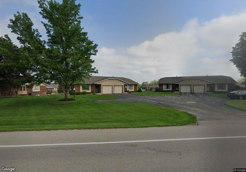
781 Port Sheldon Rd SW Grandville, MI 49418
Estimated Value: $245,332 - $261,000
2
Beds
1
Bath
1,062
Sq Ft
$239/Sq Ft
Est. Value
About This Home
This home is located at 781 Port Sheldon Rd SW, Grandville, MI 49418 and is currently estimated at $254,083, approximately $239 per square foot. 781 Port Sheldon Rd SW is a home located in Ottawa County with nearby schools including Bursley School, Jenison Junior High School, and Jenison High School.
Ownership History
Date
Name
Owned For
Owner Type
Purchase Details
Closed on
Aug 18, 2023
Sold by
Milton Richard Ubbink Trust
Bought by
Johnson Phillip Lloyd and Johnson Susan Kay
Current Estimated Value
Home Financials for this Owner
Home Financials are based on the most recent Mortgage that was taken out on this home.
Original Mortgage
$152,600
Outstanding Balance
$149,181
Interest Rate
6.9%
Mortgage Type
New Conventional
Estimated Equity
$104,902
Purchase Details
Closed on
Jun 21, 2012
Sold by
Velthouse Ronald J and Flack Sheryl L
Bought by
Milton Richard Ubbink Trust
Create a Home Valuation Report for This Property
The Home Valuation Report is an in-depth analysis detailing your home's value as well as a comparison with similar homes in the area
Home Values in the Area
Average Home Value in this Area
Purchase History
| Date | Buyer | Sale Price | Title Company |
|---|---|---|---|
| Johnson Phillip Lloyd | $218,000 | Chicago Title Of Michigan | |
| Milton Richard Ubbink Trust | $85,000 | None Available |
Source: Public Records
Mortgage History
| Date | Status | Borrower | Loan Amount |
|---|---|---|---|
| Open | Johnson Phillip Lloyd | $152,600 |
Source: Public Records
Tax History Compared to Growth
Tax History
| Year | Tax Paid | Tax Assessment Tax Assessment Total Assessment is a certain percentage of the fair market value that is determined by local assessors to be the total taxable value of land and additions on the property. | Land | Improvement |
|---|---|---|---|---|
| 2025 | $2,817 | $103,500 | $0 | $0 |
| 2024 | $2,445 | $99,800 | $0 | $0 |
| 2023 | $1,450 | $99,000 | $0 | $0 |
| 2022 | $1,592 | $92,100 | $0 | $0 |
| 2021 | $1,546 | $92,400 | $0 | $0 |
| 2020 | $1,529 | $81,900 | $0 | $0 |
| 2019 | $1,471 | $74,500 | $0 | $0 |
| 2018 | $1,372 | $63,200 | $0 | $0 |
| 2017 | $1,348 | $63,200 | $0 | $0 |
| 2016 | $1,339 | $61,000 | $0 | $0 |
| 2015 | $1,180 | $47,200 | $0 | $0 |
| 2014 | $1,180 | $43,700 | $0 | $0 |
Source: Public Records
Map
Nearby Homes
- 6516 Andre's Crossing
- 6501 Andre's Crossing Unit 14
- 950 Brentwood St
- 180 Brookwood Ct SW
- 1241 S Marymark Dr
- 6451 12th Ave
- 1306 Carol Dr
- 1361 Carol Dr
- 1433 Winifred St
- 1355 Bent Tree Dr Unit 12
- 7482 Louise Ave
- 776 Chancellor Dr SW
- 65 Grand Village Ct SW Unit 40
- 1040 Castlebay Way Unit 19
- 1038 Castlebay Way Unit 18
- 1036 Castlebay Way Unit 17
- 6025 Gleneagle Dr
- 925 Parsons St SW
- 528 Stonehenge Dr SW
- 4624 Billmar St SW
- 777 Port Sheldon Rd SW
- 789 Port Sheldon Rd SW
- 683 Port Sheldon Rd SW
- 686 Waterview Ct SW Unit 30
- 6738 Waterview Dr SW Unit 70
- 6698 Waterview Dr SW
- 677 Waterview Ct SW
- 705 Waterview Ct SW
- 673 Waterview Ct SW Unit 35
- 688 Waterview Ct SW Unit 31
- 775 Port Sheldon St Unit 13
- 664 Waterview Ct SW Unit 21
- 690 Waterview Ct SW Unit 32
- 783 Port Sheldon St
- 6762 Waterfront Cir SW Unit 83
- 6692 Waterbury Ln SW
- 6682 Waterbury Ln SW
- 6707 Waterview Dr SW
- 6725 Waterview Dr SW
- 6764 Waterfront Cir SW