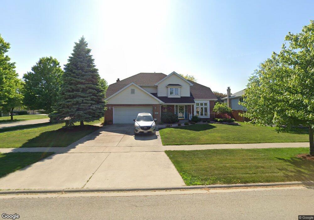
781 Vanderbilt Dr New Lenox, IL 60451
Estimated Value: $457,000 - $486,000
--
Bed
--
Bath
--
Sq Ft
0.26
Acres
About This Home
This home is located at 781 Vanderbilt Dr, New Lenox, IL 60451 and is currently estimated at $475,103. 781 Vanderbilt Dr is a home located in Will County with nearby schools including Spencer Trail, Spencer Pointe, and Spencer Crossing Intermediate School.
Ownership History
Date
Name
Owned For
Owner Type
Purchase Details
Closed on
Dec 5, 1998
Sold by
Chisman William F and Chisman Billie J
Bought by
Stalla Gary A and Stalla Susan L
Current Estimated Value
Home Financials for this Owner
Home Financials are based on the most recent Mortgage that was taken out on this home.
Original Mortgage
$173,600
Outstanding Balance
$39,467
Interest Rate
6.79%
Estimated Equity
$435,636
Purchase Details
Closed on
Mar 22, 1995
Sold by
Nlsb
Bought by
Chisman William E and Chisman Billie J
Home Financials for this Owner
Home Financials are based on the most recent Mortgage that was taken out on this home.
Original Mortgage
$180,000
Interest Rate
8.55%
Create a Home Valuation Report for This Property
The Home Valuation Report is an in-depth analysis detailing your home's value as well as a comparison with similar homes in the area
Home Values in the Area
Average Home Value in this Area
Purchase History
| Date | Buyer | Sale Price | Title Company |
|---|---|---|---|
| Stalla Gary A | $174,000 | -- | |
| Chisman William E | $206,000 | -- |
Source: Public Records
Mortgage History
| Date | Status | Borrower | Loan Amount |
|---|---|---|---|
| Open | Stalla Gary A | $173,600 | |
| Previous Owner | Chisman William E | $180,000 |
Source: Public Records
Tax History Compared to Growth
Tax History
| Year | Tax Paid | Tax Assessment Tax Assessment Total Assessment is a certain percentage of the fair market value that is determined by local assessors to be the total taxable value of land and additions on the property. | Land | Improvement |
|---|---|---|---|---|
| 2024 | $10,848 | $149,676 | $36,393 | $113,283 |
| 2023 | $10,848 | $136,441 | $33,175 | $103,266 |
| 2022 | $9,924 | $125,694 | $30,562 | $95,132 |
| 2021 | $9,396 | $118,212 | $28,743 | $89,469 |
| 2020 | $9,114 | $113,994 | $27,717 | $86,277 |
| 2019 | $9,148 | $110,460 | $26,858 | $83,602 |
| 2018 | $8,938 | $106,653 | $25,932 | $80,721 |
| 2017 | $8,494 | $103,586 | $25,186 | $78,400 |
| 2016 | $8,246 | $100,814 | $24,512 | $76,302 |
| 2015 | $7,945 | $97,640 | $23,740 | $73,900 |
| 2014 | $7,945 | $96,435 | $23,447 | $72,988 |
| 2013 | $7,945 | $97,735 | $23,763 | $73,972 |
Source: Public Records
Map
Nearby Homes
- 1535 Glenbrooke Ln
- 701 Bishops Gate
- 641 Lisson Grove
- 709 Garadice Dr
- 214 Somerset Ct
- 1351 E Lincoln Hwy
- 651 Schooner Dr
- 2758 Bluestone Bay Dr
- 513 Somerset Ln
- 125 N Anderson Rd
- 2019 Royalglen Dr
- 2667 E Lincoln Hwy
- 449 Somerset Ln Unit 1
- 2848 Southwind Dr
- 911 Canongate Ln
- 920 Barnside Rd
- 190 Pottawatomie Ln
- 1017 E Lincoln Hwy
- 1595 Glenbrooke Ln
- 1591 Glenbrooke Ln
- 771 Vanderbilt Dr
- 782 Columbia Dr
- 772 Columbia Dr
- 1977 Harvard Ln
- 761 Vanderbilt Dr
- 792 Vanderbilt Dr
- 782 Vanderbilt Dr
- 762 Columbia Dr
- 1950 Cambridge Ln
- 1990 Harvard Ln
- 772 Vanderbilt Dr Unit 1
- 751 Vanderbilt Dr
- 1957 Harvard Ln
- 1980 Harvard Ln
- 762 Vanderbilt Dr
- 752 Columbia Dr
- 1930 Cambridge Ln
- 781 Columbia Dr
- 741 Vanderbilt Dr
- 771 Columbia Dr