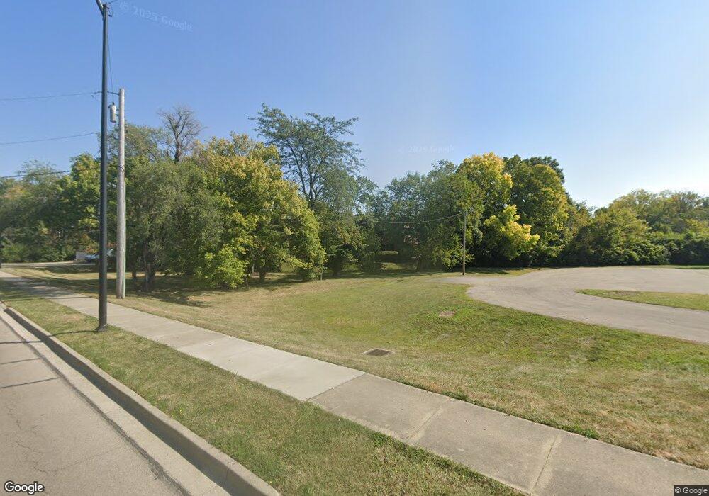
7810 Mcewen Rd Dayton, OH 45459
Estimated Value: $1,424,994
--
Bed
--
Bath
18,400
Sq Ft
$77/Sq Ft
Est. Value
About This Home
This home is located at 7810 Mcewen Rd, Dayton, OH 45459 and is currently estimated at $1,424,994, approximately $77 per square foot. 7810 Mcewen Rd is a home located in Montgomery County with nearby schools including Primary Village North, Normandy Elementary School, and Hadley E Watts Middle School.
Ownership History
Date
Name
Owned For
Owner Type
Purchase Details
Closed on
Apr 30, 2024
Sold by
Vgf Mcewen Rd Llc and Drt Mcewen Rd Llc
Bought by
Vgf Mcewen Rd Llc
Current Estimated Value
Purchase Details
Closed on
Nov 30, 2018
Sold by
Eve Tract Partnership
Bought by
Drt Mcewen Rd Llc
Home Financials for this Owner
Home Financials are based on the most recent Mortgage that was taken out on this home.
Original Mortgage
$720,000
Interest Rate
4.8%
Mortgage Type
Commercial
Create a Home Valuation Report for This Property
The Home Valuation Report is an in-depth analysis detailing your home's value as well as a comparison with similar homes in the area
Home Values in the Area
Average Home Value in this Area
Purchase History
| Date | Buyer | Sale Price | Title Company |
|---|---|---|---|
| Vgf Mcewen Rd Llc | -- | None Listed On Document | |
| Drt Mcewen Rd Llc | $900,000 | None Available |
Source: Public Records
Mortgage History
| Date | Status | Borrower | Loan Amount |
|---|---|---|---|
| Previous Owner | Drt Mcewen Rd Llc | $720,000 |
Source: Public Records
Tax History Compared to Growth
Tax History
| Year | Tax Paid | Tax Assessment Tax Assessment Total Assessment is a certain percentage of the fair market value that is determined by local assessors to be the total taxable value of land and additions on the property. | Land | Improvement |
|---|---|---|---|---|
| 2024 | $33,384 | $387,840 | $225,030 | $162,810 |
| 2023 | $33,384 | $387,840 | $225,030 | $162,810 |
| 2022 | $35,592 | $363,090 | $212,290 | $150,800 |
| 2021 | $35,947 | $363,090 | $212,290 | $150,800 |
| 2020 | $35,567 | $363,090 | $212,290 | $150,800 |
| 2019 | $37,475 | $368,970 | $212,290 | $156,680 |
| 2018 | $34,190 | $368,970 | $212,290 | $156,680 |
| 2017 | $33,755 | $368,970 | $212,290 | $156,680 |
| 2016 | $33,632 | $360,560 | $212,290 | $148,270 |
| 2015 | $33,392 | $360,560 | $212,290 | $148,270 |
| 2014 | $33,392 | $360,560 | $212,290 | $148,270 |
| 2012 | -- | $526,020 | $197,430 | $328,590 |
Source: Public Records
Map
Nearby Homes
- 7853 Betsy Ross Cir Unit 11
- 9211 Bottega - South Dr Unit 67
- 1070 Foxshire Place
- 8030 Paragon Rd
- 8436 Mcewen Rd
- 8454 Mcewen Rd
- 8477 Woodgrove Ct Unit 8
- 8472 Mcewen Rd
- 1241 Agate Trail
- 1241 Autumn Wind Ct
- 8517 Garnet Dr
- 1157 Timbertrail Ct Unit 12
- 8370 Paragon Rd
- 7767 Brams Hill Dr Unit 7767
- 8713 Washington Colony Dr Unit 311
- 1124 Evergreen Park Ct Unit 221124
- 1444 Yankee Vineyards
- 755 Hidden Cir Unit 623
- 7610 Kings Run Rd
- 8738 Washington Colony Dr Unit 832
- 7809 John Adams Ln Unit 61
- 7804 William Penn Ln Unit 54
- 7807 John Adams Ln Unit 62
- 7802 William Penn Ln Unit 55
- 7806 William Penn Ln Unit 53
- 7805 John Adams Ln Unit 63
- 7800 William Penn Ln Unit 56
- 7803 John Adams Ln Unit 64
- 7801 John Adams Ln Unit 65
- 7804 Mcewen Rd Unit 50
- 7808 John Adams Ln Unit 66
- 7802 Mcewen Rd Unit 51
- 7806 Mcewen Rd Unit 49
- 7806 John Adams Ln Unit 67
- 7800 Mcewen Rd Unit 52
- 7804 John Adams Ln Unit 68
- 7802 John Adams Ln Unit 69
- 7800 John Adams Ln Unit 70
- 988 Patriot Square Unit 48
- 992 Patriot Square Unit 46