7810 Pettis Ln North Little Rock, AR 72117
Booker/McAlmont NeighborhoodEstimated Value: $111,072 - $191,000
--
Bed
--
Bath
1,440
Sq Ft
$102/Sq Ft
Est. Value
About This Home
This home is located at 7810 Pettis Ln, North Little Rock, AR 72117 and is currently estimated at $147,268, approximately $102 per square foot. 7810 Pettis Ln is a home with nearby schools including Clinton Elementary School, Sylvan Hills Middle School, and Sylvan Hills High School.
Ownership History
Date
Name
Owned For
Owner Type
Purchase Details
Closed on
Apr 29, 2021
Sold by
Postew Paulette
Bought by
Blueford Freda
Current Estimated Value
Purchase Details
Closed on
Apr 20, 2021
Sold by
Irby Detra
Bought by
Blueford Freda
Purchase Details
Closed on
Aug 30, 2012
Sold by
Franklin Patrice and Estate Of Patricia Ann Oneal
Bought by
Franklin Patrice and Irby Detra
Purchase Details
Closed on
Nov 6, 1997
Sold by
Thomas Lonzo
Bought by
Postell Paulette and Blueford Freda
Purchase Details
Closed on
Oct 9, 1996
Bought by
Thomas Lonzo and Thomas Wardella
Create a Home Valuation Report for This Property
The Home Valuation Report is an in-depth analysis detailing your home's value as well as a comparison with similar homes in the area
Home Values in the Area
Average Home Value in this Area
Purchase History
| Date | Buyer | Sale Price | Title Company |
|---|---|---|---|
| Blueford Freda | -- | None Listed On Document | |
| Blueford Freda | -- | None Listed On Document | |
| Franklin Patrice | -- | None Available | |
| Postell Paulette | -- | -- | |
| Thomas Lonzo | -- | -- | |
| Thomas Thomas | -- | -- |
Source: Public Records
Tax History Compared to Growth
Tax History
| Year | Tax Paid | Tax Assessment Tax Assessment Total Assessment is a certain percentage of the fair market value that is determined by local assessors to be the total taxable value of land and additions on the property. | Land | Improvement |
|---|---|---|---|---|
| 2025 | $666 | $13,583 | $1,146 | $12,437 |
| 2024 | $666 | $13,583 | $1,146 | $12,437 |
| 2023 | $666 | $13,583 | $1,146 | $12,437 |
| 2022 | $758 | $13,583 | $1,146 | $12,437 |
| 2021 | $755 | $13,110 | $290 | $12,820 |
| 2020 | $375 | $13,110 | $290 | $12,820 |
| 2019 | $375 | $13,110 | $290 | $12,820 |
| 2018 | $750 | $13,110 | $290 | $12,820 |
| 2017 | $666 | $13,110 | $290 | $12,820 |
| 2016 | $782 | $13,860 | $1,430 | $12,430 |
| 2015 | $704 | $13,860 | $1,430 | $12,430 |
| 2014 | $704 | $13,860 | $1,430 | $12,430 |
Source: Public Records
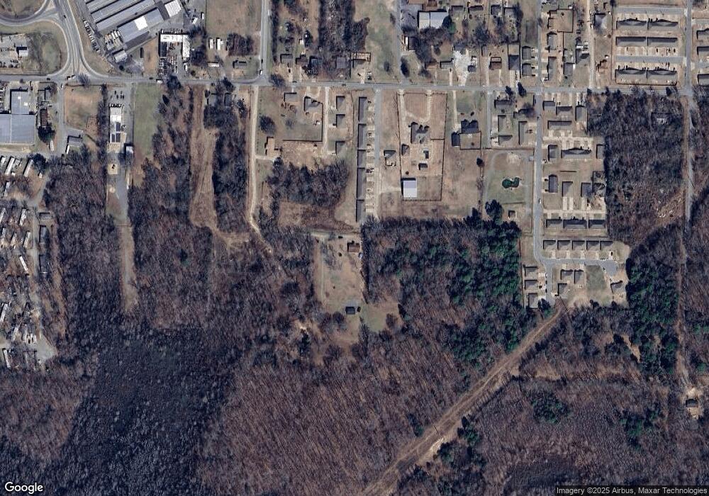
Map
Nearby Homes
- 4600 Rixie Rd Unit 102
- 4600 Rixie Rd Unit 533
- 4600 Rixie Rd Unit 236A
- 4600 Rixie Rd Unit 313
- 4600 Rixie Rd Unit 431
- 4600 Rixie Rd Unit 632
- 4600 Rixie Rd Unit 201
- 4600 Rixie Rd Unit 673
- 4600 Rixie Rd Unit 520
- 4600 Rixie Rd
- 000 Mcclendon Rd
- 6 W Laramie Dr
- 11 Whalen Place
- 8711 Cayuga Ln
- 6608 Southshore Ln
- 161 Highway
- 300 2nd St
- 3600 E Kiehl Ave
- 897 Jacksonville Hwy
- 000 Highway 161
- 8 Ch Bevcen Place
- 8123 C H Baker Place
- 5020 Rixie Rd
- 5004 Rixie Rd
- 5014 Rixie Rd
- 5104 Rixie Rd
- 5010 Rixie Rd
- 5006 Rixie Rd
- 5025 Rixie Rd
- 5013 Rixie Rd
- 5009 Rixie Rd
- 4 Khennedi Ln
- 8207 Hills Rd
- 4908 Rixie Rd
- 5200 Rixie Rd
- 179 E Lee Ave Unit G
- 5005 Rixie Rd
- 8024 Charles Ln
- 5204 Rixie Rd
- 5001 Charles Cove