Estimated Value: $121,292 - $682,000
3
Beds
1
Bath
1,296
Sq Ft
$288/Sq Ft
Est. Value
About This Home
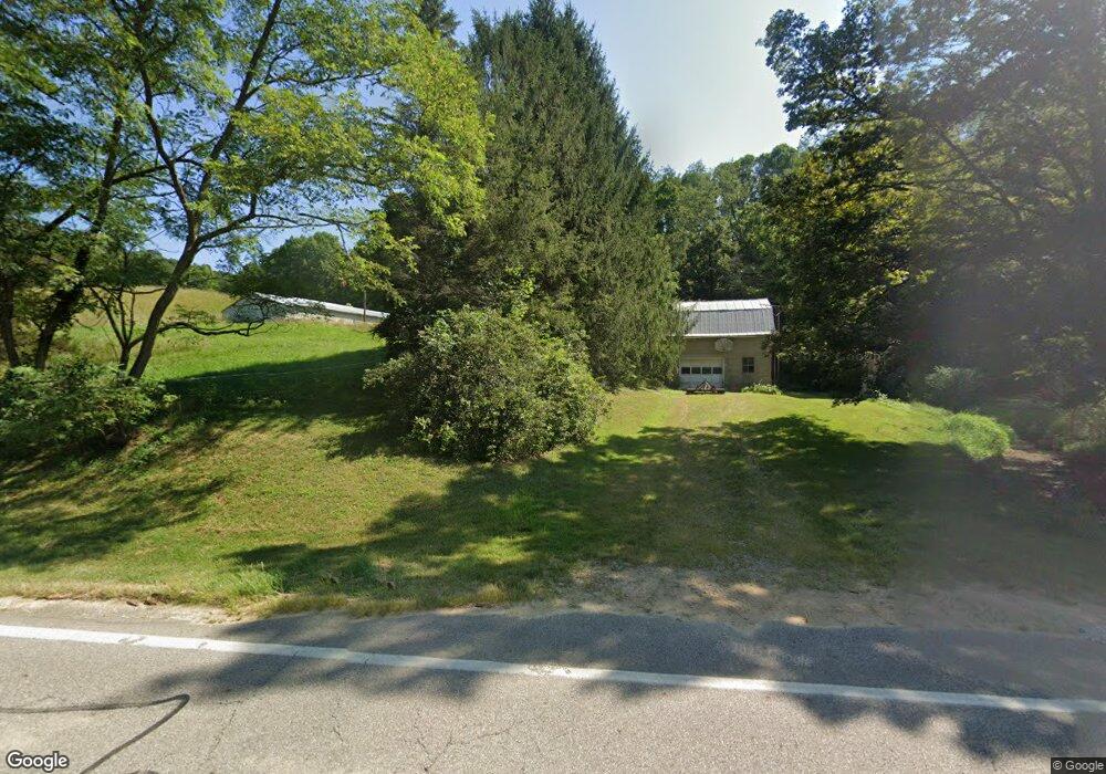
This home is located at 7814 State Route 312, Logan, OH 43138 and is currently estimated at $373,097, approximately $287 per square foot. 7814 State Route 312 is a home located in Perry County with nearby schools including Green Elementary School.
Ownership History
Date
Name
Owned For
Owner Type
Purchase Details
Closed on
Aug 28, 2019
Sold by
Beougher Virginia G
Bought by
Beougher Aaron C and Beougher Dana
Current Estimated Value
Home Financials for this Owner
Home Financials are based on the most recent Mortgage that was taken out on this home.
Original Mortgage
$119,702
Interest Rate
3%
Mortgage Type
Land Contract Argmt. Of Sale
Create a Home Valuation Report for This Property
The Home Valuation Report is an in-depth analysis detailing your home's value as well as a comparison with similar homes in the area
Purchase History
| Date | Buyer | Sale Price | Title Company |
|---|---|---|---|
| Beougher Aaron C | $119,702 | None Available |
Source: Public Records
Mortgage History
| Date | Status | Borrower | Loan Amount |
|---|---|---|---|
| Closed | Beougher Aaron C | $119,702 |
Source: Public Records
Tax History
| Year | Tax Paid | Tax Assessment Tax Assessment Total Assessment is a certain percentage of the fair market value that is determined by local assessors to be the total taxable value of land and additions on the property. | Land | Improvement |
|---|---|---|---|---|
| 2025 | $911 | $25,090 | $16,020 | $9,070 |
| 2024 | $911 | $25,090 | $16,020 | $9,070 |
| 2023 | $573 | $25,090 | $16,020 | $9,070 |
| 2022 | $415 | $18,710 | $9,650 | $9,060 |
| 2021 | $416 | $18,710 | $9,650 | $9,060 |
| 2020 | $416 | $18,710 | $9,650 | $9,060 |
| 2019 | $527 | $20,980 | $12,930 | $8,050 |
| 2018 | $518 | $21,960 | $13,910 | $8,050 |
| 2017 | $538 | $21,960 | $13,910 | $8,050 |
| 2016 | $560 | $22,860 | $10,900 | $11,960 |
| 2015 | $573 | $22,860 | $10,900 | $11,960 |
| 2014 | $867 | $22,860 | $10,900 | $11,960 |
| 2013 | $252 | $21,860 | $9,900 | $11,960 |
| 2012 | -- | $21,860 | $9,900 | $11,960 |
Source: Public Records
Map
Nearby Homes
- 5840 Township Road 248
- 9168 Bremen Rd
- 35041 Hunter Rd
- 10049 Webb Rd
- 0 Township Road 134 SE
- 5400 Saunders Rd
- 12151 State Route 93 N
- 36265 Geiger Rd
- 0 Schmeltzer Rd
- 10706 State Route 93 N
- 10665 State Route 93 N
- 8941 State Route 664 N
- 11109 Webb Summit Rd SE
- 0 Clay Hill Rd
- 0 Walnut Dowler Rd Unit 225043922
- 37462 Price Rd
- 2006 Bethel Rd SE
- 0 Bethel Rd SE Unit 225039271
- 31740 Huston Rd
- 9292 Hood Rd
- 6075 Ohio 312
- 7866 State Route 312
- 7870 Ohio 312
- 7870 State Route 312
- 7644 State Route 312
- 7587 State Route 312
- 7980 State Route 312
- 5347 Township Road 250
- 8075 State Route 312
- 8042 State Route 312
- 7511 State Route 312
- 8060 State Route 312
- 7657 Township Road 234
- 4560 Township Road 245
- 0 Township Road 250 Unit 222009780
- 0 Township Road 250 Unit Tract 2 218025838
- 0 Township Road 250 Unit Tract 3
- 0 Township Road 250 Unit Tract 1
- 5911 Township Road 250
- 8094 State Route 312
Your Personal Tour Guide
Ask me questions while you tour the home.