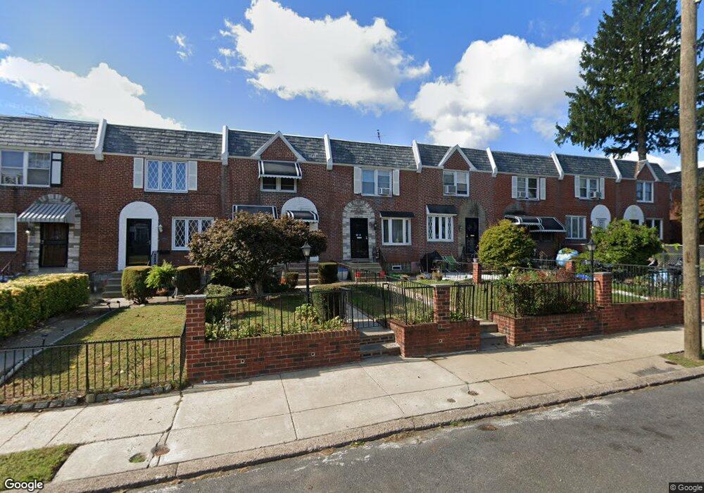
7814 Woolston Ave Philadelphia, PA 19150
West Oak Lane NeighborhoodEstimated Value: $235,003 - $272,000
3
Beds
2
Baths
1,152
Sq Ft
$219/Sq Ft
Est. Value
About This Home
This home is located at 7814 Woolston Ave, Philadelphia, PA 19150 and is currently estimated at $252,251, approximately $218 per square foot. 7814 Woolston Ave is a home located in Philadelphia County with nearby schools including Franklin S Edmonds School, Martin Luther King High School, and St. Raymond Of Penafort Catholic School.
Ownership History
Date
Name
Owned For
Owner Type
Purchase Details
Closed on
Dec 19, 2003
Sold by
Davis Harry C and Davis Illease E
Bought by
Hunte Semone A
Current Estimated Value
Home Financials for this Owner
Home Financials are based on the most recent Mortgage that was taken out on this home.
Original Mortgage
$84,233
Outstanding Balance
$39,304
Interest Rate
5.98%
Mortgage Type
FHA
Estimated Equity
$212,947
Create a Home Valuation Report for This Property
The Home Valuation Report is an in-depth analysis detailing your home's value as well as a comparison with similar homes in the area
Home Values in the Area
Average Home Value in this Area
Purchase History
| Date | Buyer | Sale Price | Title Company |
|---|---|---|---|
| Hunte Semone A | $84,900 | -- |
Source: Public Records
Mortgage History
| Date | Status | Borrower | Loan Amount |
|---|---|---|---|
| Open | Hunte Semone A | $84,233 |
Source: Public Records
Tax History Compared to Growth
Tax History
| Year | Tax Paid | Tax Assessment Tax Assessment Total Assessment is a certain percentage of the fair market value that is determined by local assessors to be the total taxable value of land and additions on the property. | Land | Improvement |
|---|---|---|---|---|
| 2025 | $2,608 | $227,900 | $45,580 | $182,320 |
| 2024 | $2,608 | $227,900 | $45,580 | $182,320 |
| 2023 | $2,608 | $186,300 | $37,260 | $149,040 |
| 2022 | $1,228 | $141,300 | $37,260 | $104,040 |
| 2021 | $1,858 | $0 | $0 | $0 |
| 2020 | $1,858 | $0 | $0 | $0 |
| 2019 | $1,939 | $0 | $0 | $0 |
| 2018 | $1,942 | $0 | $0 | $0 |
| 2017 | $1,942 | $0 | $0 | $0 |
| 2016 | $1,522 | $0 | $0 | $0 |
| 2015 | $1,457 | $0 | $0 | $0 |
| 2014 | -- | $138,700 | $12,880 | $125,820 |
| 2012 | -- | $15,072 | $2,209 | $12,863 |
Source: Public Records
Map
Nearby Homes
- 1159 E Hortter St
- 1167 E Dorset St
- 1122 E Phil Ellena St
- 1148 E Slocum St
- 1152 E Sharpnack St
- 1107 E Sharpnack St
- 7703 Gilbert St
- 1051 Vernon Rd
- 7643 Gilbert St
- 7617 Woolston Ave
- 1007 Dorset St
- 7638 Thouron Ave
- 1005 Dorset St
- 1300 E Gorgas Ln
- 7837 Williams Ave
- 8004 Gilbert St
- 7824 Fayette St
- 8035 Gilbert St
- 7640 Williams Ave
- 933 E Slocum St
- 7816 Woolston Ave
- 7812 Woolston Ave
- 7818 Woolston Ave
- 7810 Woolston Ave
- 7820 Woolston Ave
- 7808 Woolston Ave
- 7806 Woolston Ave
- 7822 Woolston Ave
- 7804 Woolston Ave
- 7824 Woolston Ave
- 7802 Woolston Ave
- 7819 Baldwin St
- 7817 Baldwin St
- 7815 Baldwin St
- 7813 Baldwin St
- 7821 Baldwin St
- 7823 Baldwin St
- 7800 Woolston Ave
- 7811 Baldwin St
- 7826 Woolston Ave