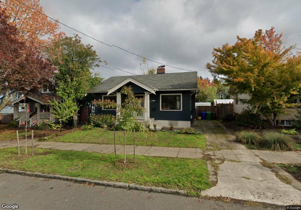
7816 N Brandon Ave Portland, OR 97217
Kenton NeighborhoodEstimated Value: $413,000 - $503,000
3
Beds
1
Bath
1,102
Sq Ft
$419/Sq Ft
Est. Value
About This Home
This home is located at 7816 N Brandon Ave, Portland, OR 97217 and is currently estimated at $461,535, approximately $418 per square foot. 7816 N Brandon Ave is a home located in Multnomah County with nearby schools including Peninsula Elementary School, Ockley Green, and Jefferson High School.
Ownership History
Date
Name
Owned For
Owner Type
Purchase Details
Closed on
Feb 7, 2017
Sold by
Conway Kyle B
Bought by
Conway Tomoko
Current Estimated Value
Purchase Details
Closed on
May 31, 2006
Sold by
Macdonald Warren R
Bought by
Conway Kyle B
Home Financials for this Owner
Home Financials are based on the most recent Mortgage that was taken out on this home.
Original Mortgage
$180,000
Outstanding Balance
$110,665
Interest Rate
7.5%
Mortgage Type
Purchase Money Mortgage
Estimated Equity
$350,870
Create a Home Valuation Report for This Property
The Home Valuation Report is an in-depth analysis detailing your home's value as well as a comparison with similar homes in the area
Home Values in the Area
Average Home Value in this Area
Purchase History
| Date | Buyer | Sale Price | Title Company |
|---|---|---|---|
| Conway Tomoko | -- | None Available | |
| Conway Kyle B | $225,000 | Transnation Title Agency Or |
Source: Public Records
Mortgage History
| Date | Status | Borrower | Loan Amount |
|---|---|---|---|
| Open | Conway Kyle B | $180,000 |
Source: Public Records
Tax History Compared to Growth
Tax History
| Year | Tax Paid | Tax Assessment Tax Assessment Total Assessment is a certain percentage of the fair market value that is determined by local assessors to be the total taxable value of land and additions on the property. | Land | Improvement |
|---|---|---|---|---|
| 2025 | $3,822 | $141,860 | -- | -- |
| 2024 | $3,685 | $137,730 | -- | -- |
| 2023 | $3,543 | $133,720 | $0 | $0 |
| 2022 | $3,467 | $129,830 | $0 | $0 |
| 2021 | $3,408 | $126,050 | $0 | $0 |
| 2020 | $3,126 | $122,380 | $0 | $0 |
| 2019 | $3,012 | $118,820 | $0 | $0 |
| 2018 | $2,923 | $115,360 | $0 | $0 |
| 2017 | $2,801 | $112,000 | $0 | $0 |
| 2016 | $2,564 | $108,740 | $0 | $0 |
| 2015 | $2,497 | $105,580 | $0 | $0 |
| 2014 | $2,459 | $102,510 | $0 | $0 |
Source: Public Records
Map
Nearby Homes
- 7622 N Brandon Ave
- 7817 N Delaware Ave
- 2515 N Winchell St
- 2504 N Baldwin St
- 2538 N Watts St
- 2544 N Watts St
- 2620 N Kilpatrick St
- 7385 N Mobile Ave
- 7387 N Mobile Ave
- 2622 N Kilpatrick St
- 7383 N Mobile Ave
- 7379 N Mobile Ave
- 2624 N Kilpatrick St
- 7214 N Boston Ave
- 2810 N Watts St
- 8280 N Burrage Ave
- 1593 N Mcclellan St Unit 3
- 1597 N Mcclellan St Unit 5
- 1312 N Farragut St
- 2813 N Argyle St
- 7824 N Brandon Ave
- 7806 N Brandon Ave
- 2127 N Terry St
- 2124 N Winchell St
- 7834 N Brandon Ave
- 2117 N Terry St
- 7817 N Brandon Ave
- 7809 N Brandon Ave
- 2114 N Winchell St
- 7823 N Brandon Ave
- 7803 N Brandon Ave
- 7829 N Brandon Ave
- 2136 N Terry St
- 2107 N Terry St
- 7835 N Brandon Ave
- 2104 N Winchell St
- 2217 N Terry St
- 33000 N Terry St
- 2218 N Winchell St
- 2126 N Terry St