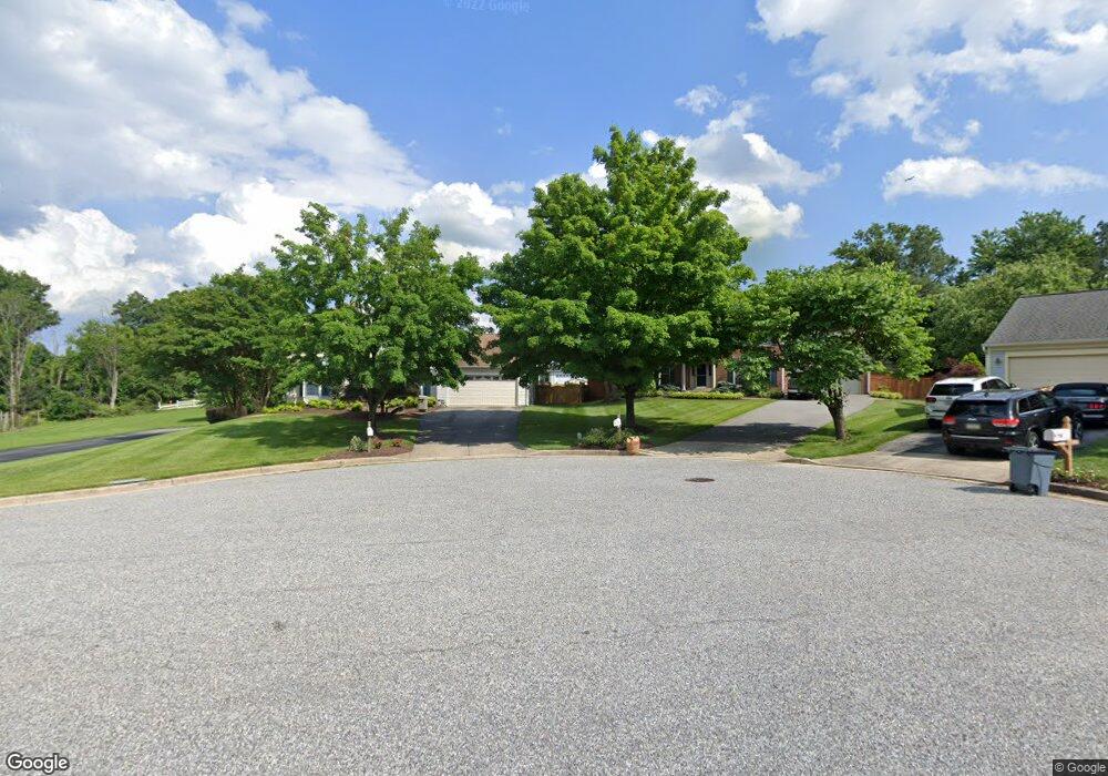
7819 Breakstone Ct Ellicott City, MD 21043
Estimated Value: $828,000 - $879,000
--
Bed
3
Baths
2,480
Sq Ft
$345/Sq Ft
Est. Value
About This Home
This home is located at 7819 Breakstone Ct, Ellicott City, MD 21043 and is currently estimated at $855,228, approximately $344 per square foot. 7819 Breakstone Ct is a home located in Howard County with nearby schools including Rockburn Elementary School, Long Reach High School, and Trinity School.
Ownership History
Date
Name
Owned For
Owner Type
Purchase Details
Closed on
Feb 22, 2018
Sold by
Spaid Keith A and Vorce Robin
Bought by
Spaid Keith A and Spaid Robin Y
Current Estimated Value
Purchase Details
Closed on
Jan 13, 1999
Sold by
Spaid Keith A
Bought by
Spaid Keith A and Vorce Robin
Purchase Details
Closed on
Aug 2, 1996
Sold by
Campanaro Attilio D
Bought by
Spaid Keith A
Purchase Details
Closed on
Feb 23, 1990
Sold by
Porten Sullivan Corporation
Bought by
Campanaro Attilio D
Home Financials for this Owner
Home Financials are based on the most recent Mortgage that was taken out on this home.
Original Mortgage
$196,650
Interest Rate
10.31%
Create a Home Valuation Report for This Property
The Home Valuation Report is an in-depth analysis detailing your home's value as well as a comparison with similar homes in the area
Home Values in the Area
Average Home Value in this Area
Purchase History
| Date | Buyer | Sale Price | Title Company |
|---|---|---|---|
| Spaid Keith A | -- | None Available | |
| Spaid Keith A | -- | -- | |
| Spaid Keith A | $220,000 | -- | |
| Campanaro Attilio D | $245,900 | -- |
Source: Public Records
Mortgage History
| Date | Status | Borrower | Loan Amount |
|---|---|---|---|
| Previous Owner | Campanaro Attilio D | $196,650 | |
| Closed | Spaid Keith A | -- |
Source: Public Records
Tax History Compared to Growth
Tax History
| Year | Tax Paid | Tax Assessment Tax Assessment Total Assessment is a certain percentage of the fair market value that is determined by local assessors to be the total taxable value of land and additions on the property. | Land | Improvement |
|---|---|---|---|---|
| 2025 | $8,891 | $638,433 | $0 | $0 |
| 2024 | $8,891 | $592,267 | $0 | $0 |
| 2023 | $8,302 | $546,100 | $207,000 | $339,100 |
| 2022 | $8,198 | $541,667 | $0 | $0 |
| 2021 | $8,071 | $537,233 | $0 | $0 |
| 2020 | $8,071 | $532,800 | $206,500 | $326,300 |
| 2019 | $8,233 | $529,667 | $0 | $0 |
| 2018 | $7,799 | $526,533 | $0 | $0 |
| 2017 | $7,729 | $523,400 | $0 | $0 |
| 2016 | -- | $509,733 | $0 | $0 |
| 2015 | -- | $496,067 | $0 | $0 |
| 2014 | -- | $482,400 | $0 | $0 |
Source: Public Records
Map
Nearby Homes
- 7712 Sandstone Ct
- 7718 Briarstone Ct
- 5908 Clear Ridge Rd
- 5816 Rockburn Woods Way
- 6641 Cambria Terrace
- 6210 Hunters Hollow Rd
- 5317 Tims Ct
- 5983 Glen Willow Way
- 5905-2 Logans Way Unit 2
- 6021 Charles Crossing
- 6022 Maple Hill Rd
- 5948 Logans Way
- 8106 Wooded Glen Ct
- 5812 Lois Ln
- 5810 Lois Ln
- 5803 Lois Ln
- 5213 Talbots Landing
- 7807 Whistling Pines Ct
- 7671 Stony Creek Ln Unit A
- 8205 Tall Trees Ct
- 7815 Breakstone Ct
- 7823 Breakstone Ct
- 7827 Breakstone Ct
- 5823 Montgomery Rd
- 7809 Millers Corner
- 7805 Millers Corner
- 7813 Millers Corner
- 7811 Breakstone Ct
- 5817 Montgomery Rd
- 7826 Breakstone Ct
- 7817 Millers Corner
- 7822 Breakstone Ct
- LOT # 1 Montgomery Rd
- 7795 Rockburn Dr
- 7807 Breakstone Ct
- 7787 Rockburn Dr
- 7821 Millers Corner
- 5835 Montgomery Rd
- 7783 Rockburn Dr
- 7810 Breakstone Ct