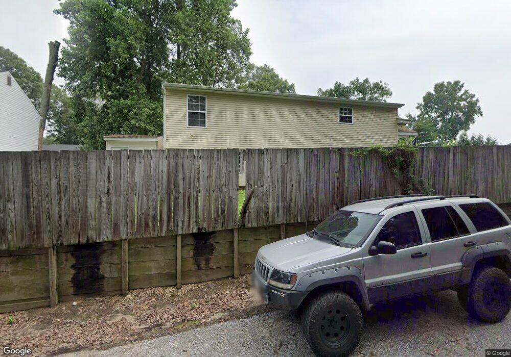
7819 Camp Rd Pasadena, MD 21122
Green Haven NeighborhoodEstimated Value: $333,000 - $427,000
Studio
2
Baths
1,326
Sq Ft
$290/Sq Ft
Est. Value
About This Home
This home is located at 7819 Camp Rd, Pasadena, MD 21122 and is currently estimated at $384,561, approximately $290 per square foot. 7819 Camp Rd is a home located in Anne Arundel County with nearby schools including High Point Elementary School, Northeast Middle School, and Northeast High School.
Ownership History
Date
Name
Owned For
Owner Type
Purchase Details
Closed on
Oct 12, 2017
Sold by
Brocato Michael S and Estate Of Marjorie Brocato
Bought by
Brocato Michael S
Current Estimated Value
Purchase Details
Closed on
May 5, 1999
Sold by
Thompson Howard W
Bought by
Brocato Marjorie
Purchase Details
Closed on
Sep 27, 1993
Sold by
Musselman R P
Bought by
Thompson Howard W
Home Financials for this Owner
Home Financials are based on the most recent Mortgage that was taken out on this home.
Original Mortgage
$105,550
Interest Rate
7.1%
Create a Home Valuation Report for This Property
The Home Valuation Report is an in-depth analysis detailing your home's value as well as a comparison with similar homes in the area
Home Values in the Area
Average Home Value in this Area
Purchase History
| Date | Buyer | Sale Price | Title Company |
|---|---|---|---|
| Brocato Michael S | -- | None Available | |
| Brocato Marjorie | $118,950 | -- | |
| Thompson Howard W | $104,900 | -- |
Source: Public Records
Mortgage History
| Date | Status | Borrower | Loan Amount |
|---|---|---|---|
| Previous Owner | Thompson Howard W | $105,550 |
Source: Public Records
Tax History
| Year | Tax Paid | Tax Assessment Tax Assessment Total Assessment is a certain percentage of the fair market value that is determined by local assessors to be the total taxable value of land and additions on the property. | Land | Improvement |
|---|---|---|---|---|
| 2025 | $2,557 | $287,967 | -- | -- |
| 2024 | $2,557 | $267,500 | $141,700 | $125,800 |
| 2023 | $601 | $256,867 | $0 | $0 |
| 2022 | $2,573 | $246,233 | $0 | $0 |
| 2020 | $2,185 | $229,667 | $0 | $0 |
| 2019 | $2,208 | $223,733 | $0 | $0 |
| 2018 | $2,208 | $217,800 | $111,700 | $106,100 |
| 2017 | $383 | $206,967 | $0 | $0 |
| 2016 | -- | $196,133 | $0 | $0 |
| 2015 | -- | $185,300 | $0 | $0 |
| 2014 | -- | $185,300 | $0 | $0 |
Source: Public Records
Map
Nearby Homes
- 7803 W Shore Rd
- 365 Hickory Nut Ct
- 667 213th St
- 8146 Hazy Dawn Ct
- 8194 Mountain Estate Ct
- 717 207th St
- 8214 Shady Nook Ct
- 8024 Escalon Ave
- 8036 George Willing Ave
- 753 210th St
- 8236 Shady Nook Ct
- 762 208th St
- 7832 E Shore Rd
- 787 Powhatan Beach Rd
- 7804 A E Shore Rd
- 7850 B E Shore Rd
- 808 207th St
- 7720 W Shore Rd
- 2209 227th St
- 809 203rd St
Your Personal Tour Guide
Ask me questions while you tour the home.